-
You are here:
- Homepage »
- Australia »
- Queensland » Apple Tree Creek

Apple Tree Creek Destination Guide
Delve into Apple Tree Creek in Australia
Apple Tree Creek in the region of Queensland is a city in Australia - some 720 mi or ( 1158 km ) North of Canberra , the country's capital .
Current time in Apple Tree Creek is now 07:27 PM (Friday) . The local timezone is named " Australia/Brisbane " with a UTC offset of 10 hours. Depending on your travel modalities, these larger destinations might be interesting for you: Marule, Horton, Brisbane, and Bootharh. While being here, make sure to check out Marule . We encountered some video on the web . Scroll down to see the most favourite one or select the video collection in the navigation. Are you curious about the possible sightseeing spots and facts in Apple Tree Creek ? We have collected some references on our attractions page.
Videos
ZRX1200R Apple Tree Creek,QLD...
A quick trip through Apple Tree Creek... Gopro hd+ "Movie Edit Pro 17" ..
Bundy
A classy visit to the Bundaberg Rum Distillery, and its many museum delights. January 2011. ..
Mojo Bluesmen (By: Domingo Martinez)
On a trip to Bundy I stopped of at Childers to grab a bite to eat. These two young blokes known as the ''Mojo Bluesmen'' were ripping out a blues tune. So talented and so unique. I sincerly hope they ..
Road Conditions
Filmed while driving south on the Bruce Highway just south of Childers 13 February 2011 - 5:31pm You will hear us mention that we hit something, what we hit was a mound of road surface that had been p ..
Videos provided by Youtube are under the copyright of their owners.
Interesting facts about this location
Flying High Bird Sanctuary
Flying High Bird Sanctuary (formerly Flying High Bird Habitat) is the largest free-flight aviary in Australia and has over 250 birds. Visitors can walk around inside the aviary to see the birds. It is located on the corner of Bruce Highway and Old Creek Road, Apple Tree Creek, about 50 km south of Bundaberg in central Queensland, Australia. It was opened in 2002.
Located at -25.22 152.24 (Lat./Long.); Less than 1 km away
Isis District State High School
Isis District State High School established in 1961, is located in the town of Childers, Queensland set across two campuses on approximately 4 acres . It is at a midpoint between the major centres of Bundaberg and Maryborough. As well as providing an educational service for students exiting from Childers State School and St Joseph’s Primary School, Isis High also services the adjoining communities of Biggenden, Booyal, Buxton, Cordalba, Dallarnil, Goodwood, Woodgate and Howard.
Located at -25.23 152.27 (Lat./Long.); Less than 4 km away
Childers, Queensland
Childers is a town in southern Queensland, Australia, situated at the junction of the Bruce and Isis Highways. The township lies 325 kilometres north of the state capital Brisbane and 52 kilometres south-west of Bundaberg. Childers is located within Bundaberg Region local government area. At the 2006 census, Childers had a population of 1,350. The township is set on a ridge overlooking fields of rich volcanic soil.
Located at -25.24 152.28 (Lat./Long.); Less than 5 km away
Shire of Isis
The Shire of Isis was a local government area located in the Wide Bay-Burnett region of Queensland, Australia, to the south of Bundaberg. The Shire, administered from the town of Childers covered an area of 1,702.2 square kilometres, and existed as a local government entity from 1887 until 2008, when it was amalgamated with the City of Bundaberg and the Shires of Burnett and Kolan to form the Bundaberg Region.
Located at -25.24 152.28 (Lat./Long.); Less than 5 km away
Red Dirt Radio
Red Dirt Radio is a radio station that broadcasts to the Childers, Queensland community on the frequency of 88.0 MHz. Red Dirt Radio is a narrow-bandwidth radio station with a signal range of 5 km . The station, while being fully automated, has regular segments held by local DJs on Tuesday, Wednesday, and Thursday afternoons.
Located at -25.24 152.28 (Lat./Long.); Less than 5 km away
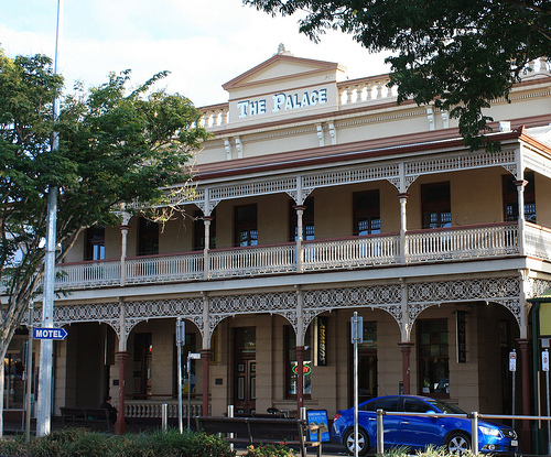
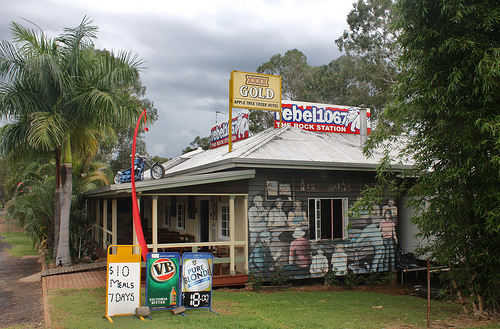
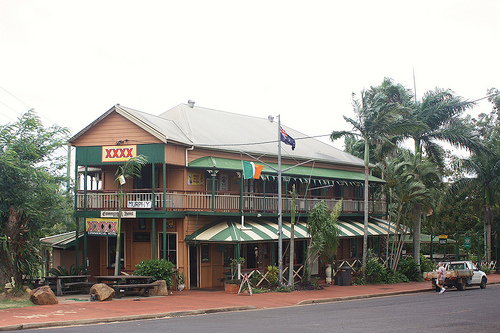
Pictures


Historical Weather
Related Locations
Information of geographic nature is based on public data provided by geonames.org, CIA world facts book, Unesco, DBpedia and wikipedia. Weather is based on NOAA GFS.