-
You are here:
- Homepage »
- Australia »
- Queensland » Cooloola Cove

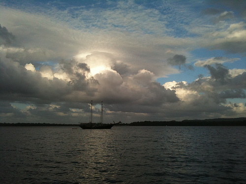
Cooloola Cove Destination Guide
Delve into Cooloola Cove in Australia
Cooloola Cove in the region of Queensland is located in Australia - some 682 mi or ( 1098 km ) North of Canberra , the country's capital .
Local time in Cooloola Cove is now 01:50 AM (Thursday) . The local timezone is named " Australia/Brisbane " with a UTC offset of 10 hours. Depending on your mobility, these larger destinations might be interesting for you: Brisbane, and Rainbow Beach. While being here, you might want to check out Brisbane . We discovered some clip posted online . Scroll down to see the most favourite one or select the video collection in the navigation. Are you curious about the possible sightseeing spots and facts in Cooloola Cove ? We have collected some references on our attractions page.
Videos
Gordigear Gumtree Car Awnings
Gordigear Gumtree Product Presentation ..
Noosa National Park DVD (clips).
The clips shown here from the Noosa National Park, Headland Section, DVD entitled "It's Only Natural" feature a brief cross-section of what is offered in the one hour documentary. The DVD was produced ..
Toyota Hilux crossing shallow Noosa River
Great Sandy National Park - Queensland ..
Carlo Sand Blow - Australia's best kept secret
Carlo Sand Blow www.livingdownunder.net ..
Videos provided by Youtube are under the copyright of their owners.
Interesting facts about this location
Pipeclay National Park
Pipeclay is a national park in Queensland, Australia, 165 km north of Brisbane.
Located at -25.98 153.01 (Lat./Long.); Less than 1 km away
Tin Can Bay, Queensland
Tin Can Bay is a town in south-east Queensland, Australia. The seaside town is located on a deep but narrow sheltered inlet in the Gympie local government area, 218 kilometres north of the state capital, Brisbane. At the 2006 census, Tin Can Bay had a population of 1,918. It is suggested that the town's name derives from the indigenous word, "Tuncanbar", thought to refer to the dugongs that frequent the inlet.
Located at -25.92 153.00 (Lat./Long.); Less than 8 km away
Rainbow Beach, Queensland
Rainbow Beach is a coastal town in south-eastern Queensland, Australia, east of Gympie. At the 2006 census, Rainbow Beach had a population of 999. The town's name derives from the rainbow-coloured sand dunes surrounding the settlement; according to the legends of the Kabi people, the dunes were coloured when Yiningie, a spirit represented by a rainbow, plunged into the cliffs after doing battle with an evil tribesman.
Located at -25.90 153.08 (Lat./Long.); Less than 13 km away
Inskip Point
Inskip Point is a peninsula to the north of the town of Rainbow Beach in south-east Queensland, Australia. It lies between Tin Can Bay to the South West and Great Sandy Strait to the North and curves back towards Rainbow Beach and the Coral Sea to the East. The southern tip of Fraser Island, Hook Point lies just off Inskip Point, the northern tip of the peninsula. Two ferry services run between Inskip Point and Hook Point during daylight hours.
Located at -25.85 153.07 (Lat./Long.); Less than 16 km away
Cherry Venture
Cherry Venture was a 1600 ton cargo ship of Scandinavian origin. It ran aground on Teewah Beach in South East Queensland, Australia on the 6 July 1973 and remained on the beach for 34 years until its removal in early 2007.
Located at -25.96 153.17 (Lat./Long.); Less than 18 km away
Pictures
Historical Weather
Related Locations
Information of geographic nature is based on public data provided by geonames.org, CIA world facts book, Unesco, DBpedia and wikipedia. Weather is based on NOAA GFS.