-
You are here:
- Homepage »
- Cape Verde »
- Paul » Pombas

Pombas Destination Guide
Discover Pombas in Cape Verde
Pombas in the region of Paul with its 1,818 habitants is a town located in Cape Verde - some 183 mi or ( 295 km ) North-West of Praia , the country's capital .
Local time in Pombas is now 07:29 PM (Monday) . The local timezone is named " Atlantic/Cape Verde " with a UTC offset of -1 hours. Depending on your flexibility, these larger cities might be interesting for you: Vila do Maio, Vila da Ribeira Brava, Tarrafal de Sao Nicolau, Tarrafal, and Tabuadinha. When in this area, you might want to check out Vila do Maio . We found some clip posted online . Scroll down to see the most favourite one or select the video collection in the navigation. Are you looking for some initial hints on what might be interesting in Pombas ? We have collected some references on our attractions page.
Videos
CABO VERDE INSIDE part 3/4 (english version)
My documentary about the search of the Capeverdian character. part 4: www.youtube.com ..
CAP VERT - CABO VERDE
VALLEE DE PAUL- ST ANTAO ..
Boca da Pistola
Fishermen going into the Boca da Pistola harbor, Ponta do Sol, Santo Antão, Cabo Verde. I was distracted by the scene did not always aim camera very well. Their catch was one large tuna (visible withi ..
Santo Antao - Cape Verde
Simply stunning landscapes from Cape Verde's most tropical island - more info at www.oceanparkvillas.com ..
Videos provided by Youtube are under the copyright of their owners.
Interesting facts about this location
Ribeira do Paul
Ribeira do Paul is a ribeira (stream) that flows in the northeastern part of the island of Santo Antão in Cape Verde. The stream flows from southwest to northeast.
Located at 17.15 -25.02 (Lat./Long.); Less than 0 km away
Paul, Cape Verde
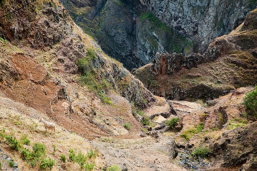
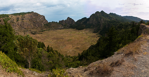
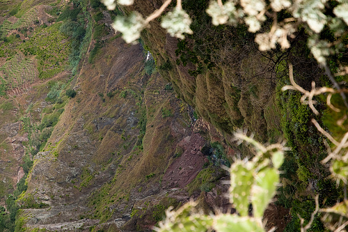
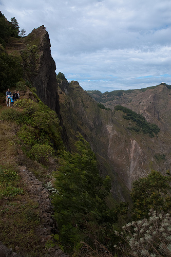
Paul is a municipality in the island of Santo Antão of the Barlavento group in Cape Verde. Together with Ribeira Grande, it covers one-third of the island and home to two-thirds of the population. Farmlands dominate within the Atlantic Coastline and in valley areas especially the central part, grasslands, bushes and forests cover the mountainous parts and the southwestern parts along with dry lands. The taller mountains lie to the southwest.
Located at 17.12 -25.02 (Lat./Long.); Less than 3 km away
Sinagoga
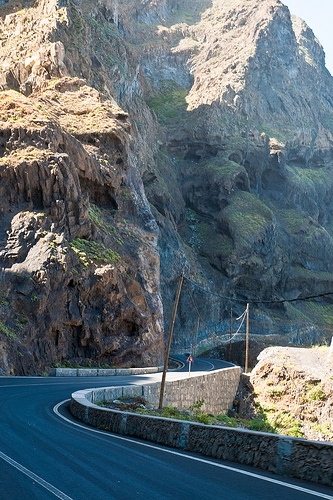
Sinagoga is a village in the northeast of the island of Santo Antão. The village is situated in a cliffs and is at around 20 m above sea level. The promontory features rocks, a lagoon and smaller lagoons that are rarely dry. Sinagoga is linked with the LBRA1 which runs almost entirely by the cliffs near the Atlantic and connects with Paúl along with Janela and Ponta do Sol. It is located approximately 40 to 50 km northeast of Porto Novo, the island capital via road.
Located at 17.18 -25.03 (Lat./Long.); Less than 4 km away
Janela, Cape Verde
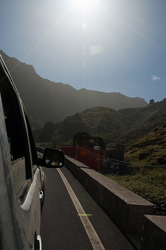
Janela is a village in the northeastern part of the island of Santo Antão. Janela is linked with the road linking to Paul and the rest of the island including the island capital of Porto Novo and Ribeira Grande, the road linking directly through the island's easternmost point is treacherous and is accessed only with 4WD or SUV vehicles as well as bikes.
Located at 17.12 -25.00 (Lat./Long.); Less than 4 km away
Ribeira Grande, Cape Verde (municipality)
Ribeira Grande is a municipality on the island of Santo Antão of the Barlavento group in Cape Verde. It covers one-third of the island and is home to two-thirds of the population. Farmlands dominate the Atlantic Coastline and central valleys. Grasslands, bush, and forests cover the mountainous parts and the central part, along with dry lands. The taller mountains lie to the south.
Located at 17.18 -25.07 (Lat./Long.); Less than 6 km away
Pictures

Related Locations
Information of geographic nature is based on public data provided by geonames.org, CIA world facts book, Unesco, DBpedia and wikipedia. Weather is based on NOAA GFS.