-
You are here:
- Homepage »
- Greece »
- Central Greece » Aidipsos

Aidipsos Destination Guide
Delve into Aidipsos in Greece
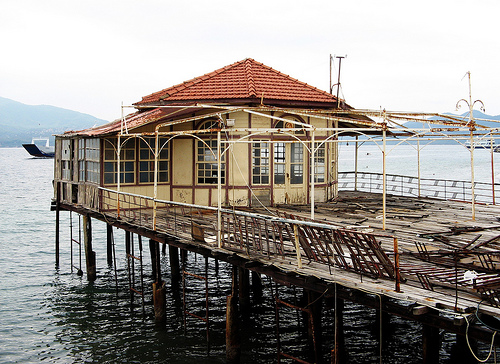
Aidipsos in the region of Central Greece is a city in Greece - some 72 mi or ( 116 km ) North-West of Athens , the country's capital .
Current time in Aidipsos is now 06:28 AM (Thursday) . The local timezone is named " Europe/Athens " with a UTC offset of 2 hours. Depending on your travel modalities, these larger destinations might be interesting for you: Yialtra, Velesi, Vathikoilon, Peristeri, and Palaiokhorion. While being here, make sure to check out Yialtra . We encountered some video on the web . Scroll down to see the most favourite one or select the video collection in the navigation. Are you curious about the possible sightseeing spots and facts in Aidipsos ? We have collected some references on our attractions page.
Videos
GREECE NORTH EVIA EDIPSOS
GREECE NORTH EVIA EDIPSOS ..
Edipsos baths
Edipsos baths view. ..
summer in Rovies Greece Eleonas Hotel
We offer a warm welcome to guests who are looking for a quiet and relaxing holiday or short break in unspoiled surroundings in a little known part of Greece. Rovies is a small village by the sea in th ..
Hotel Thalassa 3*** , Edipsos, Evia, Greece
Hotel Thalassa 3*** , Edipsos, Evia, Greece ..
Videos provided by Youtube are under the copyright of their owners.
Interesting facts about this location
Telethrio
Telethrio is a small mountain range in the northwestern part of the island of Euboea, Greece. Its maximum elevation is 970 m. It stretches along the west coast of the island, on the North Euboean Gulf, from Aidipsos in the west to Rovies in the east. Its length is about 16 km from east to west. The mountains are forested. There are few villages on the steep southern slope.
Located at 38.87 23.19 (Lat./Long.); Less than 12 km away
Argyronisos
Argyronisos is an uninhabited island in the Aegean Sea. The island lies between Kanatadika on Euboea and the mainland near Achilleio, Magnesia. Administratively, it is part of the municipality Almyros. It is 240,000 metres large. The most prominent landmark on the island is the lighthouse built in 1899.
Located at 39.01 23.07 (Lat./Long.); Less than 14 km away
Battle of Artemisium
The Battle of Artemisium, or Artemision was a series of naval engagements over three days during the second Persian invasion of Greece. The battle took place simultaneously with the more famous land battle at Thermopylae, in August or September 480 BC, off the coast of Euboea and was fought between an alliance of Greek city-states, including Sparta, Athens, Corinth and others, and the Persian Empire of Xerxes I.
Located at 39.05 23.20 (Lat./Long.); Less than 23 km away
Atalanta (island)
Atalanta, the modern Talandonísi, is a small island off Locris, in the Opuntian Gulf, said to have been torn asunder from the mainland by an earthquake. In the first year of the Peloponnesian War this previously uninhabited island was fortified by the Athenians to prevent Locrian pirates attacking Euboea. In the sixth year of the war a part of the Athenian works was destroyed by the sea, with half the ships on the beach destroyed.
Located at 38.67 23.10 (Lat./Long.); Less than 24 km away
Pictures

Historical Weather
Related Locations
Information of geographic nature is based on public data provided by geonames.org, CIA world facts book, Unesco, DBpedia and wikipedia. Weather is based on NOAA GFS.