-
You are here:
- Homepage »
- Mali »
- Mopti Region » Mopti

Mopti Destination Guide
Touring Mopti in Mali
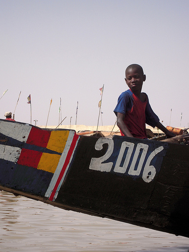
Mopti in the region of Mopti Region with its 108,456 citizens is located in Mali - some 286 mi or ( 460 km ) North-East of Bamako , the country's capital city .
Time in Mopti is now 04:49 AM (Wednesday) . The local timezone is named " Africa/Bamako " with a UTC offset of 0 hours. Depending on your budget, these more prominent places might be interesting for you: Yako, Tougan, Ouahigouya, Ouagadougou, and Nouna. Being here already, consider visiting Yako . We collected some hobby film on the internet . Scroll down to see the most favourite one or select the video collection in the navigation. Check out our recommendations for Mopti ? We have collected some references on our attractions page.
Videos
Le marché et la mosquée de Mopti (Mali)
The market and the mosque of Mopti / El mercado y la mezquita de Mopti / Il mercato e la moschea di Mopti / Der Markt und die Moschee von Mopti / O mercado e as mesquita de Mopti / 市场和清真寺的莫普提 / 市場やモプテ ..
Tri Cycling Africa-Part 02
In Part 2, Jeff lands in Mali and is introduced to West Africa and it's language barrier, takes a bus trip to the small river town of Mopti, and chats to a US student who is in West Africa to study lu ..
We travel Niger River and trek in Dogon Country Diannemurray's photos around Mopti, Mali
Preview of Diannemurray's blog at TravelPod. Read the full blog here: www.travelpod.com This blog preview was made by TravelPod using the TripAdvisor™ TripWow slideshow creator. Learn more about these ..
Balade sur le Djoliba
Quelques photos et vidéos tirées du dernier voyage au Mali (février 2010) Réalisation PS ..
Videos provided by Youtube are under the copyright of their owners.
Interesting facts about this location
Stade Baréma Bocoum
Stade Barema Bocoum is a multi-use stadium in Mopti, Mali. It is currently used mostly for football matches. It serves as a home ground of Débo Mopti. It also hosted some matches for the 2002 African Cup of Nations. The stadium holds 15,000 people and was opened in 2001. It is named after foreign minister Baréma Bocoum.
Located at 14.48 -4.18 (Lat./Long.); Less than 0 km away
Bani River
The Bani River is the principal tributary of the Niger River in Mali. The river is formed from the confluence of the Baoulé and Bagoé rivers some 160 km east of Bamako and it merges with the Niger near Mopti. Its length is about 1,100 km .
Located at 14.48 -4.20 (Lat./Long.); Less than 2 km away
Mopti Airport
Mopti Airport, also known as Ambodedjo Airport, serves the city of Mopti, in the Mopti Region in Mali. It is located near the town of Sévaré.
Located at 14.51 -4.08 (Lat./Long.); Less than 12 km away
Mopti Cercle
Mopti Cercle is an administrative subdivision of the Mopti Region of Mali. The administrative center is the town of Mopti. The cercle is divided into 15 communes: Bassirou Borondougou Dialloubé Fatoma Konna Korombana Koubaye Kounari Mopti Ouro Modi Ouroubé Douddé Sasalbé Sio Socoura Soye
Located at 14.67 -4.08 (Lat./Long.); Less than 23 km away
Pictures
Related Locations
Information of geographic nature is based on public data provided by geonames.org, CIA world facts book, Unesco, DBpedia and wikipedia. Weather is based on NOAA GFS.