-
You are here:
- Homepage »
- Malta »
- Haz-Zabbar » Zabbar

Zabbar Destination Guide
Explore Zabbar in Malta
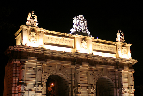
Zabbar in the region of Ħaż-Żabbar with its 15,030 inhabitants is a town in Malta close to Valletta , the country's capital city .
Current time in Zabbar is now 07:15 PM (Friday) . The local timezone is named " Europe/Malta " with a UTC offset of 1 hours. Depending on the availability of means of transportation, these more prominent locations might be interesting for you: Tripoli, Sousse, Vittoria, Syracuse, and Scicli. Since you are here already, make sure to check out Tripoli . We saw some video on the web . Scroll down to see the most favourite one or select the video collection in the navigation. Where to go and what to see in Zabbar ? We have collected some references on our attractions page.
Videos
Sea Plane taking off next to HMS Illustrious - Malta
De Havilland DHC-3 Turbine Single Otter taking off from Malta's Grand Harbour on 28 February 2008 - shot from the watchtower at Senglea point with HMS Illustrious and the City of Valletta as a backdro ..
Senglea (Malta) - Maritime Festival - Marija Bambina 2010
The east side of the Grand Harbour in Malta is characterised by a number of promontories and creeks that, since time immemorial, have been found ideal for sheltering sea craft and ships. When the Knig ..
Oldest Ruins on Earth Ditchthecube's photos around Valetta, Malta (south american oldest ruins)
Preview of Ditchthecube's blog at TravelPod. Read the full blog here: www.travelpod.com This blog preview was made by TravelPod using the TripAdvisor™ TripWow slideshow creator. Learn more about these ..
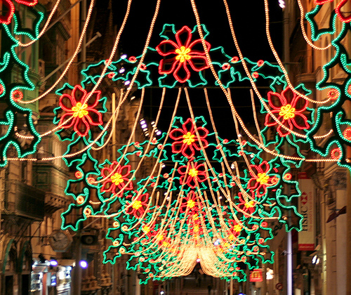
Christmas 2007, Paola, Malta.
Christmas activities held on December 23rd in Paola Malta. Salvu. ..
Videos provided by Youtube are under the copyright of their owners.
Interesting facts about this location
Cottonera Lines
The Cottonera Lines are a massive line of fortifications surrounding the Three Cities of Vittoriosa, Senglea, and Cospicua, in Malta. They are entirely built on four of the Bormla (Cospicua) hills. Grand Master Cottoner is still inked to Bormla with his surname's coat-of-arms now depicted in the emblem of the Bormla Local Council. They were designed by Italian engineer Antonio Maurizio Valperga in the 17th Century, and named after Grand Master Nicolau Cotoner.
Located at 35.88 14.52 (Lat./Long.); Less than 1 km away
Three Cities
The Three Cities is a collective description of the three fortified cities of Cospicua, Vittoriosa, and Senglea on the Island of Malta, which are enclosed by the massive line of fortification created by the Knights of St John, the Cottonera Lines. "Cottonera" is usually taken to include these Three Cities and Kalkara.
Located at 35.88 14.52 (Lat./Long.); Less than 1 km away
Fort Saint Michael
Fort St Michael was a fortification on the island of Malta. A fort of that name was built by the Knights of Malta between 1551 and 1565 on the peninsula then known as Isla St Michael formed by Dockyard Creek and French Creek in Grand Harbour. This area is still known as L-Isla, but is now occupied by the fortified city of Senglea.
Located at 35.88 14.52 (Lat./Long.); Less than 2 km away
Fort St. Rocco
Fort St Rocco, also known as Fort St Roca on some maps, is a fortification on the island of Malta. It stands east of the Rinella Battery and seaward of the village of Santu Rokku, and forms part of the complex of shore batteries defending the coast east of the mouth of Grand Harbour.
Located at 35.89 14.54 (Lat./Long.); Less than 2 km away
Fort Rinella
Fort Rinella is a Victorian fortification on the island of Malta. It is also referred to as the Rinella Battery in some maps and publications.
Located at 35.89 14.53 (Lat./Long.); Less than 2 km away
Pictures


Historical Weather
Related Locations

Information of geographic nature is based on public data provided by geonames.org, CIA world facts book, Unesco, DBpedia and wikipedia. Weather is based on NOAA GFS.