-
You are here:
- Homepage »
- New Zealand »
- Bay of Plenty » Rotorua

Rotorua Destination Guide
Explore Rotorua in New Zealand
Rotorua in the region of Bay of Plenty with its 65,901 inhabitants is a town in New Zealand - some 231 mi or ( 372 km ) North of Wellington , the country's capital city .
Current time in Rotorua is now 01:25 PM (Tuesday) . The local timezone is named " Pacific/Auckland " with a UTC offset of 13 hours. Depending on the availability of means of transportation, these more prominent locations might be interesting for you: Wellington, Tarukenga, Rotokawa, Richmond, and Punaroma. Since you are here already, make sure to check out Wellington . We encountered some video on the web . Scroll down to see the most favourite one or select the video collection in the navigation. Where to go and what to see in Rotorua ? We have collected some references on our attractions page.
Videos
Mud Bath at Hells Gate | Wanderlust: Rotorua, New Zealand [Episode 4/4]
The next stop for Daven and Michelle is Hells Gate, Rotorua's most active geothermal park which is known as a special place of wellness. After taking a tour of the area and learning about the mud's sk ..
Maori Cooking | Wanderlust: Rotorua, New Zealand [Episode 2/4]
Daven and Michelle explore a Maori food trail to learn more about the native edible plants and traditional Maori foods with their guide, Chef Charles, who later prepares a special meal for them to enj ..
Experiencing Maori Culture | Wanderlust: Rotorua, New Zealand [Episode 1/4]
Daven and Michelle arrive in Rotorua, the city at the heart of Maori culture! After attending a traditional Maori ceremony (and even trying some of the dances themselves), Daven and Michelle learn abo ..
Action Adventure in Rotorua | Wanderlust: Rotorua, New Zealand [Episode 3/4]
Daven and Michelle seek out action and adventure at Rotorua's thrilling adventure playground: Agroventures. After testing out the freefall simulator and racing on the schweeb bicycle pods, Daven and M ..
Videos provided by Youtube are under the copyright of their owners.
Interesting facts about this location
Rotorua Boys' High School
Rotorua Boys' High School is a state school educating boys from Year 9 to Year 13. It is situated just outside of the Rotorua CBD at the intersection of Old Taupo Road and Pukuatua Street in Rotorua, New Zealand. It is notable for considerable sporting success, having won on several occasions the New Zealand and World secondary school championships in rugby and the world secondary school golf championship in consecutive years.
Located at -38.14 176.24 (Lat./Long.); Less than 1 km away
Rotorua Girls' High School
Rotorua Girls' High School is a state school educating girls from Year 9 to Year 13, located in Rotorua, New Zealand.
Located at -38.15 176.24 (Lat./Long.); Less than 1 km away
Rotorua Museum
The Rotorua Museum of Art and History is a local museum and art gallery located in Rotorua, Bay of Plenty, North Island, New Zealand. The museum is housed in the old Bath House building at the spa town of Rotorua, located in the Government Gardens. Rotorua Museum opened in the south wing of the Bath House in 1969; Rotorua Art Gallery opened in the north wing in 1977. In 1988, the museum and gallery combined to form the Rotorua Museum of Art and History.
Located at -38.14 176.26 (Lat./Long.); Less than 1 km away
Energy Events Centre
The Energy Events Centre is a sports complex in Rotorua, New Zealand. The centre can hold up to 3,500 people and was finished in February 2007. The main court is the current alternate home for the Waikato/Bay of Plenty Magic netball team in the ANZ Championship. The franchise uses Mystery Creek Events Centre in Hamilton as their main home venue, with Queen Elizabeth Youth Centre in Tauranga as another alternate home.
Located at -38.14 176.26 (Lat./Long.); Less than 1 km away
John Paul College, Rotorua
John Paul College is a secondary school in Rotorua, New Zealand. It caters for year 7 to 13 boys and girls and offers a Catholic education to its students. It was opened in 1987 and combined two existing schools, Edmund Rice College (for boys) and MacKillop College (for girls). The school was founded to serve the Catholic families of Rotorua. John Paul College incorporates strong Catholic values, being named after the late Pope John Paul II.
Located at -38.14 176.23 (Lat./Long.); Less than 1 km away
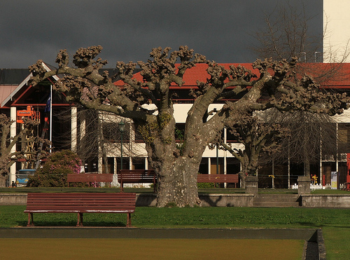
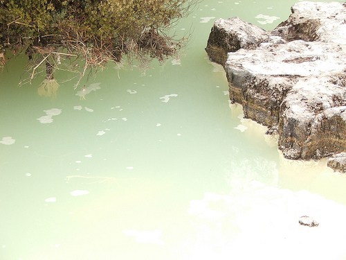
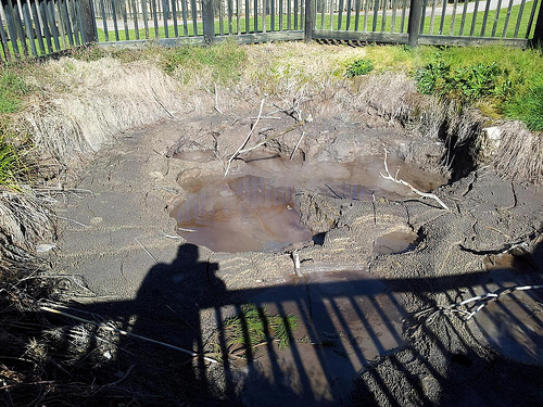
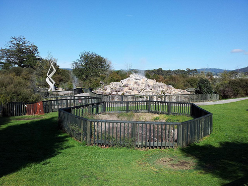
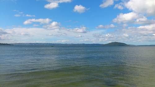
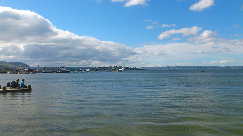
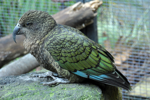
Pictures
Historical Weather
Related Locations
Information of geographic nature is based on public data provided by geonames.org, CIA world facts book, Unesco, DBpedia and wikipedia. Weather is based on NOAA GFS.