-
You are here:
- Homepage »
- Puerto Rico »
- Naguabo » Rio Blanco

Rio Blanco Destination Guide
Explore Rio Blanco in Puerto Rico
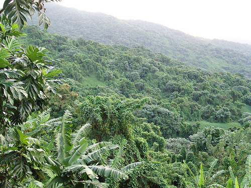
Rio Blanco in the region of Naguabo with its 1,406 inhabitants is a town in Puerto Rico - some 27 mi or ( 43 km ) South-East of San Juan , the country's capital city .
Current time in Rio Blanco is now 10:32 AM (Friday) . The local timezone is named " America/Puerto Rico " with a UTC offset of -4 hours. Depending on the availability of means of transportation, these more prominent locations might be interesting for you: San Pedro de Macorís, Salvaleón de Higüey, The Valley, Basseterre, and St. John's. Since you are here already, make sure to check out San Pedro de Macorís . We encountered some video on the web . Scroll down to see the most favourite one or select the video collection in the navigation. Where to go and what to see in Rio Blanco ? We have collected some references on our attractions page.
Videos
Rio Las Tinajas De Aqui Pa'lla con La Barbie Y Onel
A very secret Unknown Fun Spot that is located deep deep in the mountains of Fajardo, Puerto Rico. Video is brought to you by: De Aqui Pa'lla & BCNi Productions...Enjoy! * For more information about t ..
Tour of Lagoon 450, 2012
Lagoon 450, 2012 tour. Brand new. From Sail Caribe @ Mrina Puerto del Rey, Fajardo Puerto Rico. ..
Maraton Cervecero de Naguabo
En esta aventura de "De Fajardo y del Este" Porshya Curnow nos lleva de paseo a la 19na. edicion del Maraton Cervecero de Naguabo - www.defajardoydeleste.com ..
viaje en las tinajas
a trip to las tinajas river in Puerto Rico ..
Videos provided by Youtube are under the copyright of their owners.
Interesting facts about this location
Río Icacos
The Río Icacos is a river of Puerto Rico.
Located at 18.25 -65.79 (Lat./Long.); Less than 4 km away
Río Cubuy (Naguabo, Puerto Rico)
The Río Cubuy (Naguabo, Puerto Rico) is a river of Puerto Rico.
Located at 18.25 -65.79 (Lat./Long.); Less than 4 km away
Río Prieto (Naguabo, Puerto Rico)
The Río Prieto (Naguabo, Puerto Rico) is a river of Puerto Rico.
Located at 18.25 -65.78 (Lat./Long.); Less than 4 km away
Puerto Rico Highway 53
Puerto Rico Highway 53 (unsigned Interstate PRI-3) is a main tollway that is parallel to Puerto Rico Highway 3, which goes from Fajardo to Salinas. Some segments are still under construction, but when finished it will have about 59 miles of length. Two tunnels, about 1 km (0.6 mi) long each, in the towns of Yabucoa and Maunabo were completed in October 2008 (2008-10).
Located at 18.21 -65.75 (Lat./Long.); Less than 4 km away
Río Anton Ruiz
The Río Anton Ruiz is a river of Puerto Rico.
Located at 18.17 -65.74 (Lat./Long.); Less than 7 km away
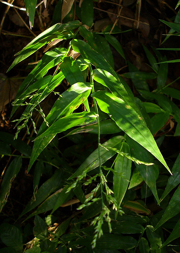
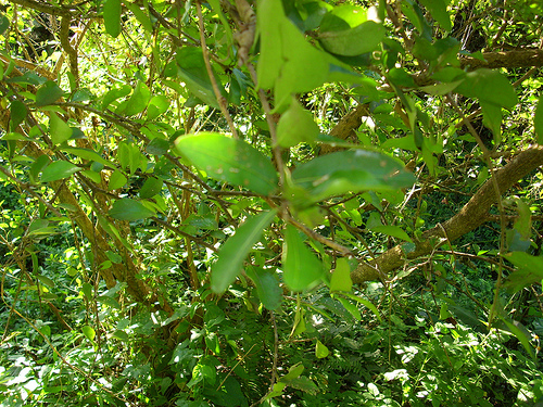
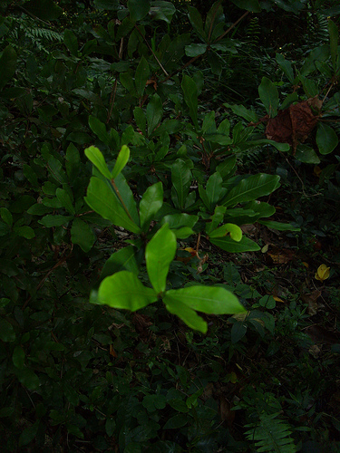
Pictures


Related Locations
Information of geographic nature is based on public data provided by geonames.org, CIA world facts book, Unesco, DBpedia and wikipedia. Weather is based on NOAA GFS.