
Delve into Royuela in Spain
Royuela in the region of Aragon with its 222 residents is located in Spain - some 115 mi or ( 185 km ) East of Madrid , the country's capital .
Local time in Royuela is now 12:24 PM (Friday) . The local timezone is named " Europe/Madrid " with a UTC offset of 1 hours. Depending on your mobility, these larger destinations might be interesting for you: Villarrobledo, Valencia, Carcaixent, Toulouse, and Zaragoza. While being here, you might want to check out Villarrobledo . We discovered some clip posted online . Scroll down to see the most favourite one or select the video collection in the navigation. Are you curious about the possible sightseeing spots and facts in Royuela ? We have collected some references on our attractions page.
Videos
Albarracin Bouldering - Phil Steadman
Phil Steadman bouldering in Albarracin on a Rock & Sun Bouldering Holiday. Phil made the first ascent of a problem called "Rocker's Revenge" ..
We♥albarraclimB
bouldermaniacos.blogspot.com.es ..
Sierra de Albarracín (Teruel - Spain)
Queso Artesano de Teruel SL is located in Albarracín, Spanish town, in the province of Teruel, part of the autonomous community of Aragón. Albarracín is a picturesque town declared a Monumento Naciona ..
Albarracín
viaje a Albarracín ..
Videos provided by Youtube are under the copyright of their owners.
Interesting facts about this location
Sierra de Albarracín Comarca
Sierra de Albarracín Comarca is a comarca in Aragon, Spain. It is located in the Iberian System, in an area formerly known locally as Tierra de Albarracín, roughly corresponding to the ancient Señorío de Albarracín feudal manor. Its capital is Albarracín, a picturesque town surrounded by stony hills that was declared Monumento Nacional in 1961.
Located at 40.38 -1.57 (Lat./Long.); Less than 5 km away
Tagus
The Tagus is the longest river on the Iberian Peninsula. It is 1,038 km long, 716 km in Spain, 47 km along the border between Portugal and Spain and 275 km in Portugal, where it empties into the Atlantic Ocean near Lisbon. It drains an area of 80,100 square kilometers (the second largest in the Iberian peninsula after the Douro). The Tagus is highly utilized for most of its course.
Located at 40.32 -1.70 (Lat./Long.); Less than 17 km away
Zafrilla
Zafrilla is a municipality in Cuenca, Castile-La Mancha, Spain. It has a population of 120.
Located at 40.20 -1.62 (Lat./Long.); Less than 22 km away
Los Cortijos
Los Cortijos is a municipality in Ciudad Real, Castile-La Mancha, Spain. It has a population of 1,026.
Located at 40.17 -1.48 (Lat./Long.); Less than 24 km away
Laguna del Marquesado
Laguna del Marquesado is a municipality in Cuenca, Castile-La Mancha, Spain. It has a population of 71.
Located at 40.18 -1.67 (Lat./Long.); Less than 25 km away
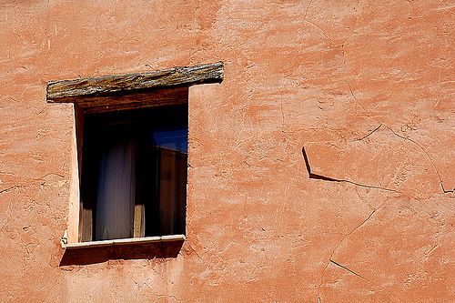
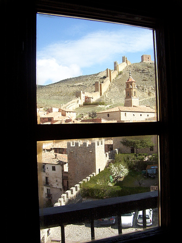
Pictures


Related Locations
Information of geographic nature is based on public data provided by geonames.org, CIA world facts book, Unesco, DBpedia and wikipedia. Weather is based on NOAA GFS.