
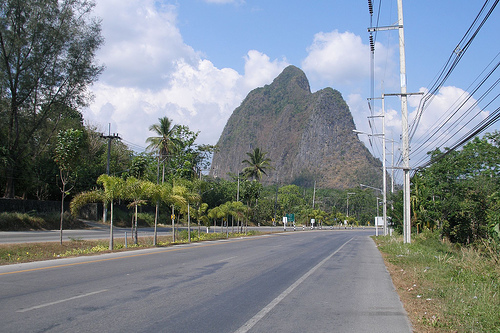
Delve into Phangnga in Thailand
Phangnga in the region of Phangnga with its 9,676 residents is a city in Thailand - some 390 mi or ( 628 km ) South of Bangkok , the country's capital .
Current time in Phangnga is now 01:43 AM (Wednesday) . The local timezone is named " Asia/Bangkok " with a UTC offset of 7 hours. Depending on your travel modalities, these larger destinations might be interesting for you: Ban Ton Din Nok, Ban Tham Suea, Ban Suan Phlu, Ban Sai Dam, and Wiang Sa. While being here, make sure to check out Ban Ton Din Nok . We encountered some video on the web . Scroll down to see the most favourite one or select the video collection in the navigation. Are you curious about the possible sightseeing spots and facts in Phangnga ? We have collected some references on our attractions page.
Videos
Thailand Tsunami Desertedisland's photos around Ao nang, Thailand (tsunami in ao nang thailand)
Preview of Desertedisland's blog at TravelPod. Read the full blog here: www.travelpod.com This blog preview was made by TravelPod using the TripAdvisor™ TripWow slideshow creator. Learn more about the ..
Krabi: White Water River Rafting Ktmcq143's photos around Phangnga, Thailand (rafting in krabi)
Preview of Ktmcq143's blog at TravelPod. Read the full blog here: www.travelpod.com This blog preview was made by TravelPod using the TripAdvisor™ TripWow slideshow creator. Learn more about these vid ..
Phang Nga floating market plan
Special Report for weekly Andaman News NBT TV (VHF dial) at 8.30am broadcast to Phang Nga, Krabi & Phuket provinces & repeated on satellite C Band (usually net black) frequency 4134 Mhz at symbolate 2 ..
room in Ao Phang Nga -Phang Nga Inn Hotel
This is a view of the interior of the most expensive room at Phang Nga Inn at Ao Phang Nga in Thailand ..
Videos provided by Youtube are under the copyright of their owners.
Interesting facts about this location
Phang Nga
Phang Nga is a town in southern Thailand, capital of the Phang Nga Province. The town covers the whole tambon Thai Chang of Mueang Phang Nga district. As of 2005 it has a population of 9,559 and covers an area of 6.75 km². The municipal administration was created on February 11, 1937. The town is subdivided into 9 wards.
Located at 8.46 98.53 (Lat./Long.); Less than 2 km away
Phang Nga Province
Phang Nga is one of the southern provinces (changwat) of Thailand, on the shore to the Andaman Sea. Neighboring provinces are (from north clockwise) Ranong, Surat Thani and Krabi. To the south is the Phuket province, but without land boundary to Phang Nga.
Located at 8.44 98.52 (Lat./Long.); Less than 2 km away
Khao Phing Kan
Khao Phing Kan or Ko Khao Phing Kan (เกาะเขาพิงกัน) is a pair of islands on the west coast of Thailand, in the Phang Nga Bay, Andaman Sea. About 40 metres from its shores lies a 20 metres (66 ft) tall islet Ko Tapu or Khao Tapu. The island is a part of the Ao Phang Nga National Park. Since 1974, when it was featured in the James Bond movie The Man with the Golden Gun, it is popularly called James Bond Island.
Located at 8.28 98.50 (Lat./Long.); Less than 20 km away
Phang Nga Bay
Phang Nga Bay is a 400 km² bay in the Andaman Sea between the island of Phuket and the mainland of the Malay peninsula of southern Thailand. Since 1981, an extensive section of the bay has been protected as the Ao Phang Nga National Park. The Park is situated in Phang Nga Province, at 08°17'N 098°36'E. Limestone cliffs with caves, collapsed cave systems and archaeological sites are found about Phang Nga Bay. Some 10,000 years ago, when sea levels were lower, one could walk from Phuket and Krabi.
Located at 8.28 98.60 (Lat./Long.); Less than 20 km away
Tham Hua Kalok
Tham Hua Kalok (Thai: ถ้ำหัวกะโหลก, literally Skull Cave, also named Tham Phi Hua To ถ้ำผีหัวโต) is a cave in Ao Luek district near Phangnga Bay in southern Thailand. The cave contains prehistoric paintings in black and red pigment of humans and strange animals. The cave is within the Than Bok Khorani National Park.
Located at 8.38 98.72 (Lat./Long.); Less than 23 km away
Pictures


Historical Weather
Related Locations
Information of geographic nature is based on public data provided by geonames.org, CIA world facts book, Unesco, DBpedia and wikipedia. Weather is based on NOAA GFS.