-
You are here:
- Homepage »
- United Kingdom »
- England » Melton Mowbray

Melton Mowbray Destination Guide
Delve into Melton Mowbray in United Kingdom
Melton Mowbray in the region of England with its 26,405 residents is located in United Kingdom - some 93 mi or ( 149 km ) North of London , the country's capital .
Local time in Melton Mowbray is now 05:20 AM (Wednesday) . The local timezone is named " Europe/London " with a UTC offset of 0 hours. Depending on your mobility, these larger destinations might be interesting for you: Wartnaby, Upper Broughton, Tithby, Tilton, and Sheffield. While being here, you might want to check out Wartnaby . We discovered some clip posted online . Scroll down to see the most favourite one or select the video collection in the navigation. Are you curious about the possible sightseeing spots and facts in Melton Mowbray ? We have collected some references on our attractions page.
Videos
Reflex - Henry James Evans - 29/05/2006 - Melton Show
Some unedited and unused footage of Henry James Evans Reflex KMG Experience filmed at Melton Mowbray show 2006 ..
Log Cabin Holidays with hot tub
Eye Kettleby Lakes has 12 luxury log cabins with outdoor hot tubs. While on holiday in one of our 5* lodges, you can either relax and enjoy the outdoor hot tub and Sauna or visit local attractions lik ..
Melton Mowbray 'then and now' no.3
A view of The Bede Houses on Burton Street photographed in about 1900, and as they are today. Taken from beside the Anne of Cleves, looking towards the town centre. From the Remember Melton Mowbray DV ..
Melton Mowbray 'Then and now' no.1
A view of Burton Street Bridge taken from the church tower in about 1915. Today there's a never-ending stream of cars and lorries crossing the bridge. See www.remember.org.uk/melton for more 'then and ..
Videos provided by Youtube are under the copyright of their owners.
Interesting facts about this location
Egerton Park
The Egerton Park Ground is a cricket ground based in the town of Melton Mowbray, Leicestershire. It held three Leicestershire games in between 1946 and 1948 with Leicestershire hosting Somerset, Lancashire and Kent. It is still the home ground of Egerton Park CC.
Located at 52.76 -0.89 (Lat./Long.); Less than 0 km away
Melton Mowbray railway station
Melton Mowbray railway station serves the town of Melton Mowbray in Leicestershire, England. It is owned by Network Rail and operated by East Midlands Trains (EMT) train operating company (TOC). The station is on the (as built) Syston and Peterborough Railway, the line is now part of the much bigger Birmingham to Peterborough Line. CrossCountry operate the majority of services as part of their Birmingham to Stansted Airport route. The station lies between Leicester and Peterborough stations.
Located at 52.76 -0.89 (Lat./Long.); Less than 1 km away
Ankle Hill
Ankle Hill is a hill located in the centre of Melton Mowbray, in Leicestershire. In The Civil War, The Town Of Melton Mowbray Was A Battleground, and Ankle Hill Is Called Ankle Hill due to the blood at The bottom of The Hill was up to peoples ankles
Located at 52.76 -0.88 (Lat./Long.); Less than 1 km away
Sysonby Knoll
Sysonby Knoll was built as a country house in 1911 by the Thurman family of Riverside Farm, Melton Mowbray in Leicestershire, England. There have been a succession of owners, the most recent being the Booth family, who purhased the house in 1965 and converted it into a hotel. The hotel has 30 en-suite bedrooms and a locally well respected restaurant, serving lunches and evening meals as well as Sunday Lunch.
Located at 52.77 -0.90 (Lat./Long.); Less than 1 km away
River Eye, Leicestershire
The River Eye is a river in north-eastern Leicestershire that becomes the Wreake. The Eye rises at Bescaby, about six miles (10 km) north-east of Melton Mowbray. It flows east towards Saltby, where it turns south and flows past Sproxton, Coston and Garthorpe. At Saxby it turns west and flows by Stapleford, Freeby, Wyfordby, Brentingby and Thorpe Arnold. At Swan's Nest it enters Melton Mowbray, where it flows under bridges at Burton Road and Leicester Road.
Located at 52.76 -0.91 (Lat./Long.); Less than 1 km away
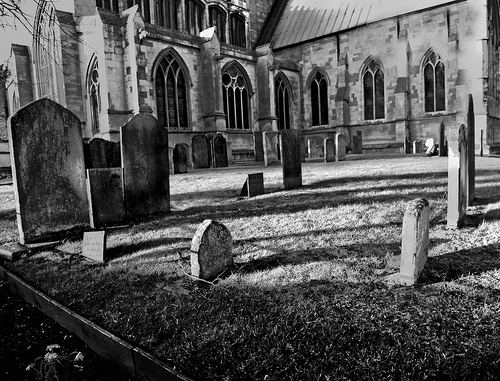
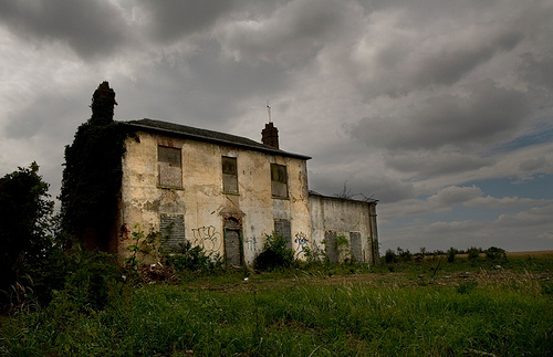
Pictures
Related Locations
Information of geographic nature is based on public data provided by geonames.org, CIA world facts book, Unesco, DBpedia and wikipedia. Weather is based on NOAA GFS.