-
You are here:
- Homepage »
- United Kingdom »
- England » Polzeath

Polzeath Destination Guide
Delve into Polzeath in United Kingdom
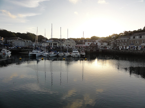
Polzeath in the region of England with its 1,449 residents is a city in United Kingdom - some 218 mi or ( 351 km ) West of London , the country's capital .
Current time in Polzeath is now 08:30 PM (Friday) . The local timezone is named " Europe/London " with a UTC offset of 0 hours. Depending on your travel modalities, these larger destinations might be interesting for you: Wadebridge, Truro, Swansea, Sheffield, and Saint Kew. While being here, make sure to check out Wadebridge . We encountered some video on the web . Scroll down to see the most favourite one or select the video collection in the navigation. Are you curious about the possible sightseeing spots and facts in Polzeath ? We have collected some references on our attractions page.
Videos
Speedboat Hits a Great White Shark ? in Padstow Cornwall
Whilst holidaying in Padstow Cornwall I went on a speedboat ride, did a bit of filming with my phone and caught this? Didn't notice it till I played it back a month later but the about 15 seconds in, ..
5 Gull Rock, Rock, Cornwall - Luxury Self Catering in Rock, Cornwall - www.perfectstays.co.uk
5 Gull Rock is a stunning luxury holiday home in Rock, Cornwall, that is available to rent through Perfect Stays Ltd. We also have other luxury and unique holiday homes in Rock, Polzeath & Padstow. ww ..
Padstow Mayday 2011 Old Oss 11am
The Old Oss leaving the Golden Lion at 11am, carried by Patrick and teased so well by Willie (who teased the oss 60 years ago when he was 8) and his son Jamie. ..
Coves and Caves (1920)
One of a series of short films featuring Cornish beauty spots. The style and content is reminiscent of Friese-Greene's subsequent odyssey, The Open Road - indeed, it could well have been the precursor ..
Videos provided by Youtube are under the copyright of their owners.
Interesting facts about this location
New Polzeath
New Polzeath (Cornish: Polsegh Nowyth, meaning new Polzeath) is a coastal settlement immediately north-east of Polzeath in north Cornwall, England, United Kingdom. It is situated approximately 5 miles north-northwest of Wadebridge at grid reference SW 935 794. The main street in New Polzeath is Atlantic Terrace which faces across the bay. The terrace was built in 1898. The area of New Polzeath inland of the terrace was developed later. An estate of holiday homes was built in the last few years.
Located at 50.58 -4.92 (Lat./Long.); Less than 1 km away
Daymer Bay
Daymer Bay is a bay and a beach on the east side of the River Camel estuary in north Cornwall, United Kingdom. It is situated approximately six miles (10 km) north of Wadebridge. Daymer Bay lies west of Trebetherick village at grid reference SW 928 775. The bay is bounded to the north by Trebetherick Point and to the south by Brea Hill. Daymer Bay beach is backed by dunes and behind them is St Enodoc's Church where the poet John Betjeman is buried.
Located at 50.56 -4.93 (Lat./Long.); Less than 1 km away
Pentire Head
Pentire Head (Cornish: Penn Tir, meaning "headland") is a headland and peninsula on the Atlantic coast in North Cornwall, England, UK and is about one mile square. The headland projects north-west with Pentire Point at its north-west corner and The Rumps promontory at its north-east corner.
Located at 50.58 -4.92 (Lat./Long.); Less than 2 km away
Stepper Point
Stepper Point is a headland on the Atlantic coast in north Cornwall, England, United Kingdom. It is at grid reference SW911781. Stepper Point and Pentire Point stand at either side of the mouth of the River Camel; Stepper to the south-west, Pentire to the north-east. The headland above Stepper Point is topped by a stone tower, built as a 'day mark' to serve as a navigation beacon for seafarers during daylight. It is referred to locally as the Daymark.
Located at 50.57 -4.95 (Lat./Long.); Less than 2 km away
Pityme
Pityme (three syllables when pronounced) is a small village at grid reference SW 952 767 in north Cornwall, England, United Kingdom. Pityme is at the junction of the road from Wadebridge to Polzeath and the road from St Minver to Rock. It straddles the boundary between the civil parishes of St Minver Highlands and St Minver Lowlands. It is situated between Tredrizzick and Splatt although the villages form one contiguous settlement.
Located at 50.55 -4.89 (Lat./Long.); Less than 3 km away
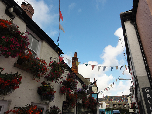
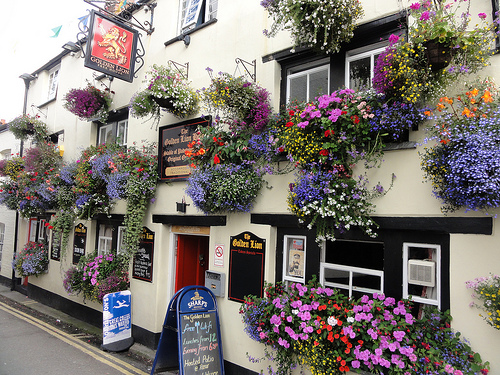
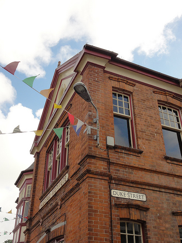
Pictures


Related Locations


Information of geographic nature is based on public data provided by geonames.org, CIA world facts book, Unesco, DBpedia and wikipedia. Weather is based on NOAA GFS.