-
You are here:
- Homepage »
- United Kingdom »
- England » Swanley

Swanley Destination Guide
Touring Swanley in United Kingdom
Swanley in the region of England with its 20,986 citizens is a city located in United Kingdom - some 15 mi or ( 24 km ) South-East of London , the country's capital city .
Time in Swanley is now 06:20 PM (Friday) . The local timezone is named " Europe/London " with a UTC offset of 0 hours. Depending on your travel resources, these more prominent places might be interesting for you: Wilmington, Welling, Swanscombe, Swanley, and Reading. Being here already, consider visiting Wilmington . We collected some hobby film on the internet . Scroll down to see the most favourite one or select the video collection in the navigation. Check out our recommendations for Swanley ? We have collected some references on our attractions page.
Videos
Citroen CX Six-wheeled Loadrunner / Piper Comanche micro caravan project #1
The Car Citroen launched the CX in 1974 as successor to the immortal DS -a hard act to follow. It was a completely new model but continued some of the Citroen USPs* which you can see here: hydropneuma ..
Tour of lifts at Orchard shopping center dartford
Tour of the lifts at the Orchard shopping center in dartford benobve.110mb.com ..
Red Bull Pro Nationals MX 2011 - Round 4, Canada Heights, Kent, UK
Footage from round 4 of the Red Bull Pro Nationals MX event held at Canada Heights in Kent, UK. Red Bull Pro Nationals MX is a 2 day motocross festival taking place over 7 rounds across the UK www.red ..
SNOW causing huge delays on M25 London
it's been snowing a little bit today and the traffic was really heavy at M20/M25 junction 3 ..
Videos provided by Youtube are under the copyright of their owners.
Interesting facts about this location
Crockenhill F.C
Crockenhill F.C. is an English football club based in the village of Crockenhill near Swanley in Kent. Since 2011 they have played in Kent Invicta Football League. The club is affiliated to the Kent County Football Association
Located at 51.38 0.18 (Lat./Long.); Less than 2 km away
Swanley Village
Swanley Village is a small village to the east of the town of Swanley in the Sevenoaks District of Kent, England. Swanley Village was originally known as Swanley but with the arrival of the London, Chatham and Dover Railway line, specifically the junction between the Chatham Main Line and the Maidstone East Line to the west of the village, a new settlement grew up.
Located at 51.41 0.20 (Lat./Long.); Less than 2 km away
Joyden's Wood
Joyden's Wood (or Joydens Wood) is one of over 1,000 woodlands in the United Kingdom looked after by the Woodland Trust. The first records of a wood on this site go back to the year 1600 so making it an Ancient Woodland site.
Located at 51.42 0.14 (Lat./Long.); Less than 3 km away
London Borough of Bexley
The London Borough of Bexley lies in south east Greater London, and is a borough referred to as part of Outer London.
Located at 51.42 0.13 (Lat./Long.); Less than 4 km away
Orpington Urban District
Orpington was a local government district in north west Kent from 1934 to 1965 around the town of Orpington, England. It was created an urban district in 1934 from parts of the abolished districts of Bromley Rural District and Chislehurst Urban District, taking in the entirety of Chelsfield, Cudham, and Knockholt parishes, and most of Farnborough, part of Keston, most of Orpington, most of St Mary Cray, part of St Paul's Cray and part of West Wickham.
Located at 51.40 0.12 (Lat./Long.); Less than 4 km away
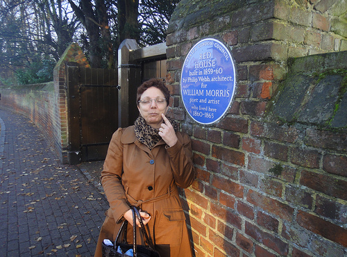
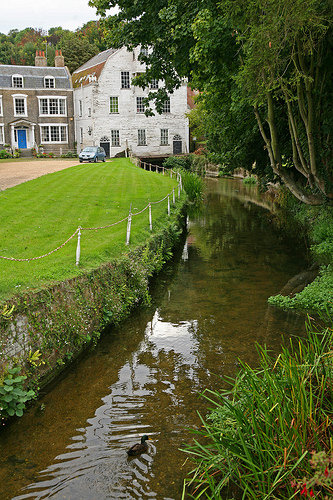
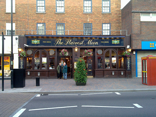
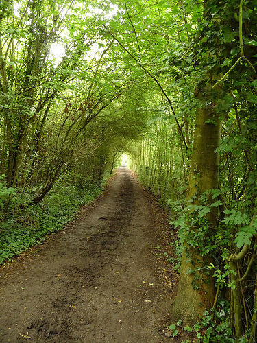
Pictures


Historical Weather
Related Locations
Information of geographic nature is based on public data provided by geonames.org, CIA world facts book, Unesco, DBpedia and wikipedia. Weather is based on NOAA GFS.