-
You are here:
- Homepage »
- United Kingdom »
- Scotland » Dunipace

Dunipace Destination Guide
Touring Dunipace in United Kingdom
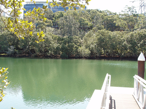
Dunipace in the region of Scotland with its 2,428 citizens is located in United Kingdom - some 348 mi or ( 561 km ) North-West of London , the country's capital city .
Time in Dunipace is now 07:21 PM (Thursday) . The local timezone is named " Europe/London " with a UTC offset of 0 hours. Depending on your budget, these more prominent places might be interesting for you: Stirling, Sheffield, Perth, Manchester, and Liverpool. Being here already, consider visiting Stirling . We collected some hobby film on the internet . Scroll down to see the most favourite one or select the video collection in the navigation. Check out our recommendations for Dunipace ? We have collected some references on our attractions page.
Videos
Torwood (Tappoch) Broch
This Iron Age dwelling was excavated from a large mound in 1864. It is one of the best examples of a lowland Broch, and dates from around 500 BC. It is situated on a now tree covered hill at Torwood, ..
Torwood Castle Stirlingshire Scotland UK
Torwood Castle this one built 1566, It is stated that Sir William Wallace retired to an earlier building after defeat at the first battle of Falkirk in 1298. ..
Windy Day Banknock.mpg
..
Evening Flood Banknock
Flooding in Banknock ..
Videos provided by Youtube are under the copyright of their owners.
Interesting facts about this location
A803 road
The A803 is a road in central Scotland. It runs from Glasgow to Champany Corner (3 miles due north east of Linlithgow).
Located at 56.00 -3.92 (Lat./Long.); Less than 3 km away
M80 motorway
The M80 is a motorway in central Scotland, running through Glasgow, North Lanarkshire, Falkirk and Stirling and links the M8, the M73 and M9 motorways. Following completion in 2011, this road is 25 miles long. From 1992 – 2011, the road was in two sections; the southern section, Glasgow to Stepps and the northern section Haggs to Stirling. A connecting Stepps to Haggs section was completed in September 2011.
Located at 56.00 -3.94 (Lat./Long.); Less than 4 km away
Battle of Sauchieburn
The Battle of Sauchieburn was fought on June 11, 1488, at the side of Sauchie Burn, a stream about two miles south of Stirling, Scotland. The battle was fought between the followers of King James III of Scotland and a large group of rebellious Scottish nobles including Alexander Home, 1st Lord Home, nominally led by the king's 15-year-old son, Prince James, Duke of Rothesay.
Located at 56.07 -3.92 (Lat./Long.); Less than 4 km away
Allandale railway station
Allandale railway station was a rail station proposed for the line between Cumbernauld and Falkirk near the villages of Allandale and Castlecary. The station was recommended in the Scottish Executive's "Central Scotland Transport Corridor Studies", published in January, 2003 as Castlecary railway station. However, the scheme's promoters were persuaded to change the name of the station to avoid confusion with an existing Castle Cary railway station in Castle Cary, Somerset.
Located at 55.99 -3.93 (Lat./Long.); Less than 5 km away
Rough Castle Fort
Rough Castle Fort is a Roman fort on the Antonine Wall roughly 2 kilometres south east of Bonnybridge near Tamfourhill in the Falkirk council area, Scotland. The Antonine Wall was built around 143 AD and stretched from Bo'ness on the River Forth to Old Kilpatrick on the River Clyde. The fort is the best preserved of the 19 forts constructed along the length of the Wall.
Located at 56.00 -3.86 (Lat./Long.); Less than 5 km away
Pictures


Related Locations
Information of geographic nature is based on public data provided by geonames.org, CIA world facts book, Unesco, DBpedia and wikipedia. Weather is based on NOAA GFS.