-
You are here:
- Homepage »
- United Kingdom »
- Wales » Glyn-neath

Glyn-neath Destination Guide
Explore Glyn-neath in United Kingdom
Glyn-neath in the region of Wales with its 4,194 inhabitants is a town in United Kingdom - some 151 mi or ( 243 km ) West of London , the country's capital city .
Current time in Glyn-neath is now 07:41 AM (Tuesday) . The local timezone is named " Europe/London " with a UTC offset of 0 hours. Depending on the availability of means of transportation, these more prominent locations might be interesting for you: Ystradgynlais, Treorchy, Swansea, Seven Sisters, and Penderyn. Since you are here already, make sure to check out Ystradgynlais . We encountered some video on the web . Scroll down to see the most favourite one or select the video collection in the navigation. Where to go and what to see in Glyn-neath ? We have collected some references on our attractions page.
Videos
1466 in YOUNG WINSTON
Colour slides (scanned at 900dpi) taken of the location filming of rail scenes for the 1972 Columbia Pictures/Open Road production of "Young Winston". The GWR loco 1466 was disguised to represent an a ..
Hen Weekend Testimonial from Call of the Wild in Wales
Toyah came on a hen weekend to Wales with call of the Wild. Her group had an absolutely wicked, top dollar excellent hen night. They tried climbing, abseiling and quad biking with Call of the Wild in ..
Sgwd Einion Gam
Very difficult waterfall to get to. Photograph over @ Flickr www.flickr.com Video taken with Samsung R10 ..
Henrhyd Waterfall
Sgwd Henrhyd (Henrhyd Waterfall or Henrhyd Falls) in Powys, Wales, is the tallest waterfall in South Wales with a drop of 90 feet (27 m). Still images over on my flickr account www.flickr.com www.flic ..
Videos provided by Youtube are under the copyright of their owners.
Interesting facts about this location
River Mellte
The River Mellte is a river in Wales. It is formed by the confluence of the Afon Llia and the Afon Dringarth. It then flows south through the village of Ystradfellte to Pontneddfechan where it joins with the Nedd Fechan to become the River Neath. The river derives its name from Mellt - the Welsh word for 'lightning' - after its tendency to rise and fall rapidly in response to heavy rainfall.
Located at 51.75 -3.58 (Lat./Long.); Less than 2 km away
Min-yr-Awel
Min-yr-Awel is a very small village near Glynneath, south Wales.
Located at 51.76 -3.58 (Lat./Long.); Less than 3 km away
Cefn Rhigos
Cefn Rhigos (name meaning 'behind Rhigos') is a hamlet (place) to the west of the village of Rhigos, Wales. Despite being 8 miles from the town centre, for postal purposes it comes under Aberdare. It is the most westerly named settlement of the Cynon Valley. The border with The Vale of Neath lies a few hundred yards to the west.
Located at 51.75 -3.57 (Lat./Long.); Less than 3 km away
Cwm-Hwnt
Cwm-Hwnt is a tiny hamlet to the west of Rhigos and south of Cefn Rhigos in the Cynon Valley, one of the South Wales Valleys. It is the farthest named settlement from the town of Aberdare that for postal reasons comes under that town. The name of Cwm-Hwnt comes from the English meaning "Valley Beyond" There was previously a through road to the geographically neighbouring villages of Cwmgwraech and Blaengwraech in The Vale of Neath which was referred to as "the Parish Road".
Located at 51.74 -3.57 (Lat./Long.); Less than 3 km away
Dinas Rock
Dinas Rock is a high promontory of Carboniferous Limestone which rises between the Afon Mellte and its left-bank tributary, the Afon Sychryd on the border between the county of Powys and the county borough of Neath Port Talbot in south Wales. It can be found near the village of Pontneddfechan near Glyn Neath at the head of the Vale of Neath. It derives its name from the presence of Iron Age earthworks on its summit, dinas in Welsh signifying a defensive site or "city".
Located at 51.76 -3.57 (Lat./Long.); Less than 3 km away
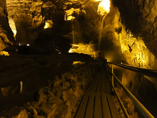
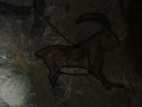
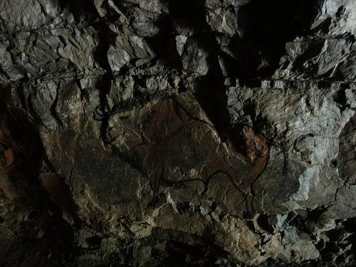
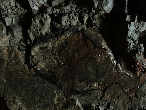
Pictures


Related Locations
Information of geographic nature is based on public data provided by geonames.org, CIA world facts book, Unesco, DBpedia and wikipedia. Weather is based on NOAA GFS.