-
You are here:
- Homepage »
- United States »
- Hawaii » Aiea

Aiea Destination Guide
Discover Aiea in United States
Aiea in the region of Hawaii with its 9,338 habitants is a town located in United States - some 4,830 mi or ( 7773 km ) West of Washington , the country's capital .
Local time in Aiea is now 11:49 AM (Wednesday) . The local timezone is named " Pacific/Honolulu " with a UTC offset of -10 hours. Depending on your flexibility, these larger cities might be interesting for you: Kalauao, Kane'ohe, Lihue, Mililani Town, and Pearl City. When in this area, you might want to check out Kalauao . We found some clip posted online . Scroll down to see the most favourite one or select the video collection in the navigation. Are you looking for some initial hints on what might be interesting in Aiea ? We have collected some references on our attractions page.
Videos
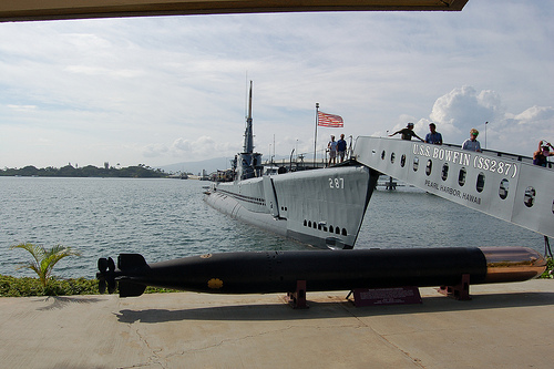
Complete Pearl Harbor Tour: USS Arizona, USS Missouri, Ford Island
A Day at Pearl Harbor Tour www.discoverhawaiitours.com Featuring: USS Arizona Memorial, USS Missouri Battleship, USS Bowfin Submarine, Ford Island, Pacific Aviation Museum, and a driving tour of histo ..
Ford Island, Pearl Harbor
Trip to Ford Island, Pearl Harbor, Hawaii via the Admiral Clarey Bridge. ..
Barack Obama is Coming to Town (On Vacation) - An Illustrated Sing-Along Song from Hawaii
President-Elect Barack Obama was born in Hawaii and grew up here, and still comes back on occasion to visit his former island home. When he does return for a visit or vacation, it's something that all ..
Moanalua High School Menehune Marching Band & Color Guard 2008 1001 Arabian Nights (HD)
Moanalua High School "Menehune" Marching Band & Color Guard 2008 Field Show "1001 Arabian Nights: A Magical Journey" University of Hawaii Rainbow Invitational @ The Aloha Stadium November 10, 2008 www ..
Videos provided by Youtube are under the copyright of their owners.
Interesting facts about this location
Aiea, Hawaii
Aiea is a census-designated place (CDP) located in the City and County of Honolulu, Hawaii, United States. As of the 2010 Census, the CDP had a total population of 9,338.
Located at 21.39 -157.93 (Lat./Long.); Less than 0 km away
Aloha Stadium
Aloha Stadium also known as Hawaiian Airlines Field at Aloha Stadium is a stadium located in Halawa, Hawaii, located just outside Honolulu. Aloha Stadium is currently home to the University of Hawaiʻi Warriors football team. It hosts the NCAA's Hawai'i Bowl, and has also been home to the National Football League's Pro Bowl since 1980 (except in 2010) and the NCAA's Hula Bowl from 1975 to 1997 and again in 2006.
Located at 21.37 -157.93 (Lat./Long.); Less than 1 km away
Halawa, Hawaii
Halawa may also refer to the food halva, or a famous valley and stream system on the island of Molokai. Halawa is a census-designated place (CDP) in the ‘Ewa District of Honolulu County, Hawaii, United States. Halawa Stream branches into two valleys: North and South Halawa; North Halawa is the larger stream and fluvial feature. Their confluence is within the H-3/H-201 highways exchange. Most of Halawa Valley is undeveloped. As of the 2010 Census, the CDP had a population of 14,014.
Located at 21.38 -157.92 (Lat./Long.); Less than 1 km away
Neal Blaisdell
Neal Shaw Blaisdell (November 6, 1902 – November 5, 1975) served as Mayor of Honolulu from 1955 to 1969 as a member of the Hawaii Republican Party. As chief executive of City and County of Honolulu, Hawaii, Blaisdell oversaw one of the largest construction booms in city and county history, working closely with Governor John A. Burns.
Located at 21.39 -157.96 (Lat./Long.); Less than 2 km away
Waimalu, Hawaii
Waimalu is a census-designated place (CDP) in Honolulu County, Hawaiʻi, United States. The population was 13,730 at the 2010 census.
Located at 21.40 -157.95 (Lat./Long.); Less than 2 km away
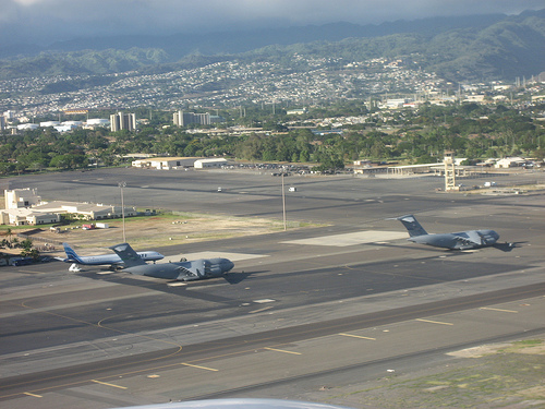
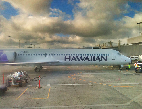
Pictures
Related Locations
Information of geographic nature is based on public data provided by geonames.org, CIA world facts book, Unesco, DBpedia and wikipedia. Weather is based on NOAA GFS.