-
You are here:
- Homepage »
- United States »
- Oregon » Yachats

Yachats Destination Guide
Explore Yachats in United States
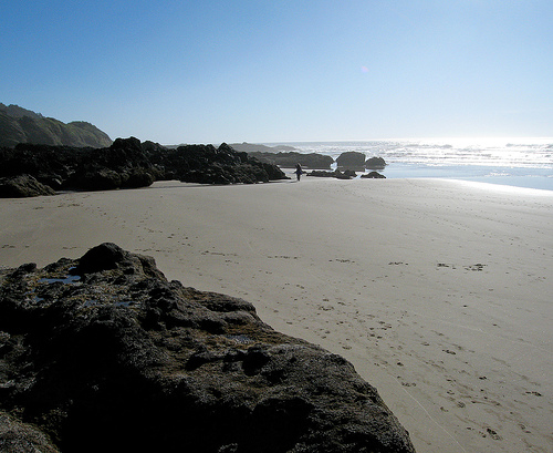
Yachats in the region of Oregon with its 690 inhabitants is a place in United States - some 2,426 mi or ( 3905 km ) West of Washington , the country's capital city .
Time in Yachats is now 03:59 AM (Tuesday) . The local timezone is named " America/Los Angeles " with a UTC offset of -7 hours. Depending on your budget, these more prominent locations might be interesting for you: Albany, Bayshore, Bayview, Corvallis, and Drift Creek. Since you are here already, consider visiting Albany . We saw some hobby film on the internet . Scroll down to see the most favourite one or select the video collection in the navigation. Where to go and what to see in Yachats ? We have collected some references on our attractions page.
Videos
Devil's Churn
Devil's Churn State Park. Between Newport and Florence Hwy 101 Oregon Coast. This spot produces seafoam visible while driving 101. I had to stop and see what mother nature's earth had developed throug ..
Yachats La De Da Parade & Duck Race (2011)
The La De Da Parade is a quirky annual parade in Yachats Oregon, on the Fourth of July. See GoYachats.com for more info. The Duck Race (at 4:44 in this video) is a fundraiser for the Yachats Youth and ..
Yachats La De Da Celebration 2012
Video from the various festivities during the Yachats La De Da Celebration, 4th July 2012. Parade -- rubber duck race -- live performances -- fireworks. Video (C) Milo Graamans goyachats.com www.yacha ..
Spouting Horn at Smelt Sands, Yachats [HD]
Can't get out to see the ocean? This may be the video for you. Video footage of the spouting horn at Smelt Sands Beach in Yachats, OR, 12/12/2011 at high tide. Filmed in 1080p HD with Canon Vixia HV30 ..
Videos provided by Youtube are under the copyright of their owners.
Interesting facts about this location
Yachats River
The Yachats River is a short river on the central Oregon coast, about 60 miles west-north-west of Eugene. The name is the native name meaning at the foot of the mountain. The river begins about 12 miles east-south-east of Yachats, Oregon in steep, thick forest, a half mile north of Klickatat Mountain and flows northward about three miles (5 km), joins Grass Creek then about 0.4 miles later joins with School Fork and turns westward.
Located at 44.31 -124.11 (Lat./Long.); Less than 0 km away
Cape Perpetua
Cape Perpetua is a large forested headland on the central Oregon Coast which projects into the Pacific Ocean. The land is managed by the United States Forest Service as part of the Siuslaw National Forest.
Located at 44.29 -124.11 (Lat./Long.); Less than 3 km away
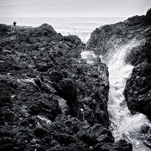
Devils Churn
Devils Churn is a narrow inlet of the Pacific Ocean in Lincoln County, Oregon, United States, south of Yachats. It is located in the Siuslaw National Forest and is accessible via the Restless Waters trail from the Cape Perpetua Scenic Area visitor's center or the U.S. Route 101 overlook. Access to the trail requires a United States Forest Service pass.
Located at 44.28 -124.11 (Lat./Long.); Less than 3 km away
Wakonda Beach State Airport
Wakonda Beach State Airport is a public airport located three miles (4.8 km) southwest of Waldport in Lincoln County, Oregon, USA. The airport is locate a short walk from Beachside State Recreation Site.
Located at 44.38 -124.08 (Lat./Long.); Less than 8 km away
Stonefield Beach State Recreation Site
Stonefield Beach State Recreation Site is a state park in the U.S. state of Oregon, administered by the Oregon Parks and Recreation Department.
Located at 44.22 -124.11 (Lat./Long.); Less than 10 km away
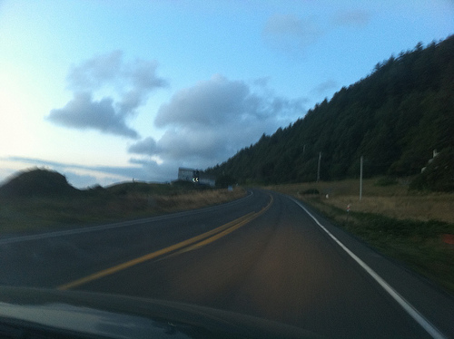
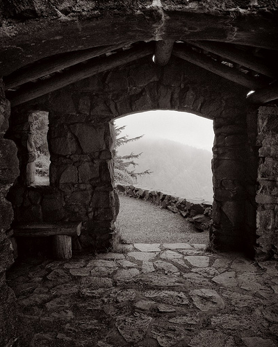
Pictures


Related Locations
Information of geographic nature is based on public data provided by geonames.org, CIA world facts book, Unesco, DBpedia and wikipedia. Weather is based on NOAA GFS.