
Explore Jesenice in Slovenia
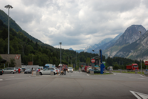
Jesenice in the region of Jesenice with its 12,511 inhabitants is a place in Slovenia - some 34 mi or ( 54 km ) North-West of Ljubljana , the country's capital city .
Time in Jesenice is now 06:21 AM (Thursday) . The local timezone is named " Europe/Ljubljana " with a UTC offset of 1 hours. Depending on your budget, these more prominent locations might be interesting for you: Sankt Jakob, Ludmannsdorf, Klagenfurt, Feistritz im Rosental, and Munich. Since you are here already, consider visiting Sankt Jakob . We saw some hobby film on the internet . Scroll down to see the most favourite one or select the video collection in the navigation. Where to go and what to see in Jesenice ? We have collected some references on our attractions page.
Videos
Inside Sleeping Car in Slovenia
Sleeper Car Schlafwagen Comfortline of Deutsche Bahn (DB AutoZug). Video was taken between Jesenice and Ljubljana in train Hamburg - Rijeka (Auto train). Autsajder Comfortline Deutsche Bahn (DB AutoZu ..
Bled and Bohinj - Slovenia
A settlement area since Mesolithic times, Bled was first mentioned as Ueldes (Veldes) within the March of Carniola on April 10, 1004, when it was awarded by Emperor Henry II to Bishop Albuin I of Brix ..
664-117 in 664-105 na Blejski Bobravi
..
Arkona - Nebo Hmuroe Tuchi Mrachniye (short version)
Arkona - Nebo Hmuroe Tuchi Mrachniye (short version) Arkona is a Russian pagan metal band. Their lyrics are heavily influenced by Russian folklore and Slavic mythology, and their music incorporates se ..
Videos provided by Youtube are under the copyright of their owners.
Interesting facts about this location
Podmežakla Hall
Podmežakla Hall (Dvorana Podmežakla) is an indoor sporting arena located in Jesenice, Slovenia. It is the home of the HK Acroni Jesenice ice hockey team and its affiliate HD mladi Jesenice. It is also the site of the Triglav Trophy, an annual international figure skating competition held each spring. The name Podmežakla (literally 'below Mežakla') is derived from its location on the southwest bank of the Sava River, directly below the Mežakla Plateau.
Located at 46.43 14.05 (Lat./Long.); Less than 1 km away
Španov vrh
Španov vrh, at 1,361 metres is a peak in the Western Karavanke Alps above the village of Planina pod Golico. Like Golica, it is a popular destination for tourists during the flowering of wild white narcissi, swathes of which cover its pastures in late April and early May. It is visited throughout the year as an easy peak to reach with panoramic views of the Julian Alps and Golica and the surrounding peaks in the Karavanke.
Located at 46.46 14.07 (Lat./Long.); Less than 3 km away
Bled Gorge
The Bled Gorge or Vintgar Gorge (Soteska Vintgar) is a 1.6-kilometre gorge located in Slovenia in the Municipality of Gorje near the settlement of Zgornje Gorje, four kilometers northwest of Bled. Carved by the Radovna River, the sheer canyon walls are 50 to 100 metres (to ft) high, with a total slope measuring about 250 m . The stream has created many erosive features such as pools and rapids, and terminates in the picturesque 13 m Šum Falls (literally, 'noisy falls').
Located at 46.39 14.08 (Lat./Long.); Less than 5 km away
Ajdna
Ajdna (1064 m) is a peak in the Karavanke in the Municipality of Žirovnica in the Upper Carniola region of Slovenia. Access to it is easiest from the village of Potoki in the neighbouring Jesenice municipality. A settlement from late Antiquity has been found just below the summit and evidence shows that it was probably inhabited much earlier. Excavations began in 1976.
Located at 46.42 14.13 (Lat./Long.); Less than 5 km away
Lake Kreda
Lake Kreda is a man-made lake in the Radovna Valley in northwestern Slovenia. The lake got its name from the chalk that was mined in the area until 1985. The digging also created a basin, which gradually filled with water and the lake appeared. The mining ceased because it was unprofitable and due to conservation concerns (the area is within Triglav National Park), but the lake remained and is now occasionally used as a recreation site.
Located at 46.42 13.99 (Lat./Long.); Less than 6 km away
Pictures
Historical Weather
Related Locations


Information of geographic nature is based on public data provided by geonames.org, CIA world facts book, Unesco, DBpedia and wikipedia. Weather is based on NOAA GFS.