-
You are here:
- Homepage »
- United States »
- California » Aptos Hills-Larkin Valley

Aptos Hills-Larkin Valley Destination Guide
Discover Aptos Hills-Larkin Valley in United States
Aptos Hills-Larkin Valley in the region of California with its 2,381 habitants is a town located in United States - some 2,420 mi or ( 3895 km ) West of Washington , the country's capital .
Local time in Aptos Hills-Larkin Valley is now 05:41 AM (Monday) . The local timezone is named " America/Los Angeles " with a UTC offset of -7 hours. Depending on your flexibility, these larger cities might be interesting for you: Aptos, Capitola, Ellicott, Freedom, and Fresno. When in this area, you might want to check out Aptos . We found some clip posted online . Scroll down to see the most favourite one or select the video collection in the navigation. Are you looking for some initial hints on what might be interesting in Aptos Hills-Larkin Valley ? We have collected some references on our attractions page.
Videos
EASTER SWIM 2008
KIDS SWIMMING IN SPA ON EASTER ..
Mooney flight to Watsonville, California
Beautiful flight from Jackson to Watsonville, California. Sunny January day in California. Great in-flight footage of Santa Cruz, Capitola, Monterey Bay and the San Francisco bay area. ..
Clear Conscience - Island Feeling Acoustic @ Zelda's
Band: Clear Conscience Song: Island Feeling Location: Zelda's Compton Bro's Inc. Production Droid Bionic Vs. Iphone4 Iphone 4, I take the Iphone 4 in this category, by a long shot...the clarity of vid ..
Journeys of the Heart -2- The Fountain of Youth
Journey of the Heart: the inspirational adventures of Roxana Jones - roxanajones.com [English] Transcript: Hello again my beautiful friends! Welcome to this new video of journeys of the heart. This mo ..
Videos provided by Youtube are under the copyright of their owners.
Interesting facts about this location
Aptos Hills-Larkin Valley, California
Aptos Hills-Larkin Valley is a census-designated place (CDP) in Santa Cruz County, California, United States. The population was 2,381 at the 2010 census.
Located at 36.96 -121.83 (Lat./Long.); Less than 0 km away
Corralitos, California
Corralitos is a census-designated place (CDP) in Santa Cruz County, California, United States. The population was 2,326 at the 2010 census.
Located at 36.99 -121.80 (Lat./Long.); Less than 4 km away
Freedom, California
Freedom is a census-designated place (CDP) in Santa Cruz County, California, United States. The population was 3,070 at the 2010 census.
Located at 36.94 -121.79 (Lat./Long.); Less than 5 km away
Amesti, California
Amesti is a census-designated place (CDP) in Santa Cruz County, California, United States. The population was 3,478 at the 2010 census. Amesti is named for José Amesti, a Basque who came to California in 1822, and who was the grantee of Rancho Los Corralitos.
Located at 36.96 -121.78 (Lat./Long.); Less than 5 km away
Watsonville Municipal Airport
Watsonville Municipal Airport is a public airport located three miles (5 km) northwest of the central business district (CBD) of Watsonville, a city in Santa Cruz County, California, USA. The airport covers 330 acres and has two runways. The largest aircraft to ever land at Watsonville were 05-5141 and 05-5143, C-17 Globemaster IIIs from March ARB, CA.
Located at 36.94 -121.79 (Lat./Long.); Less than 5 km away
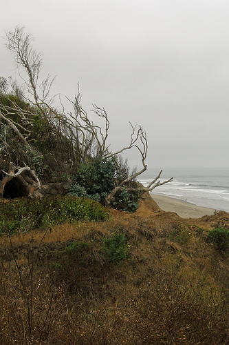
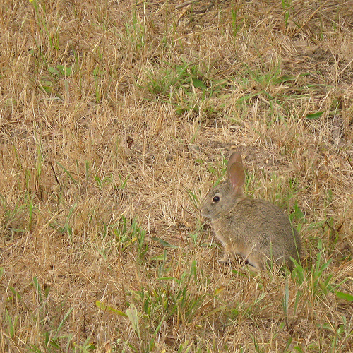
Pictures

Related Locations
Information of geographic nature is based on public data provided by geonames.org, CIA world facts book, Unesco, DBpedia and wikipedia. Weather is based on NOAA GFS.