-
You are here:
- Homepage »
- Australia »
- New South Wales » Gunnedah

Gunnedah Destination Guide
Explore Gunnedah in Australia
Gunnedah in the region of New South Wales with its 7,148 inhabitants is a town in Australia - some 304 mi or ( 490 km ) North of Canberra , the country's capital city .
Current time in Gunnedah is now 01:26 AM (Wednesday) . The local timezone is named " Australia/Sydney " with a UTC offset of 11 hours. Depending on the availability of means of transportation, these more prominent locations might be interesting for you: Yarrari, Sydney City, Katoomba, Gunnable, and Curlewis. Since you are here already, make sure to check out Yarrari . We saw some video on the web . Scroll down to see the most favourite one or select the video collection in the navigation. Where to go and what to see in Gunnedah ? We have collected some references on our attractions page.
Videos
Gunnedah coal train
On the afternoon of Monday 16 April 2007 the loaded coal train seen at Boggabri heads south from Gunnedah towards Curlewis and the loader at Newcastle. ..
Videos provided by Youtube are under the copyright of their owners.
Interesting facts about this location
Gunnedah
Gunnedah is a town and local government area in north-eastern New South Wales, Australia. At the 2011 Australia Census the town recorded a population of 7,888. The larger local government area had a population of 12,066. Gunnedah is located on the Oxley and Kamilaroi Highways providing road links to the state capital Sydney at a distance of 475 kilometres and the nearest regional centre Tamworth is 75 kilometres . It is also linked to Sydney by rail.
Located at -30.97 150.25 (Lat./Long.); Less than 2 km away
Gunnedah Shire
Gunnedah Shire is a local government area in the North West Slopes region of New South Wales, Australia. The Shire is located adjacent to the Liverpool Plains in the Namoi River valley and is traversed by the Oxley Highway and the Kamilaroi Highway. The Shire includes the towns of Gunnedah, Curlewis, Breeza, Carroll, Mullaley, Emerald Hill, Tambar Springs and Kelvin. The Mayor of Gunnedah Shire Council is Cr. Owen Hasler, who is unaligned with any political party.
Located at -30.97 150.25 (Lat./Long.); Less than 2 km away
Mooki River
Mooki River, a perennial stream that is part of the Namoi catchment within the Murray–Darling basin, is located in the Northern Tablelands district of New South Wales, Australia.
Located at -30.97 150.28 (Lat./Long.); Less than 3 km away
Curlewis, New South Wales
Curlewis is a parish and a rural village on the Kamilaroi Highway, 16 kilometres south of Gunnedah, New South Wales in Australia. The village boundaries are in the Gunnedah Shire local government area of the North West Slopes portion of the New England region.
Located at -31.12 150.27 (Lat./Long.); Less than 15 km away
Carroll, New South Wales
Carroll is a parish and small village on the Oxley Highway, 20 km east of Gunnedah, New South Wales. In 2006, Carroll had a population of 447 people. The Namoi River runs approximately parallel to the highway which is also the main street there. Periodically this river floods the town and surrounding area, forcing the closure of the Oxley Highway. The surrounding area is part of the Liverpool Plains region. Carroll is an Aboriginal word for ‘forked tree’.
Located at -30.97 150.45 (Lat./Long.); Less than 18 km away
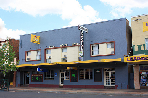
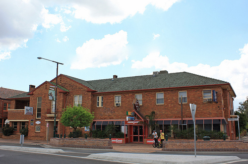
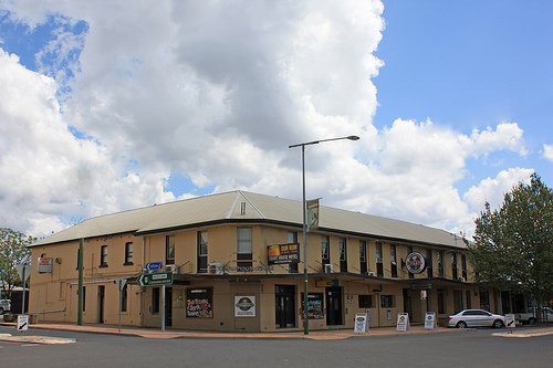
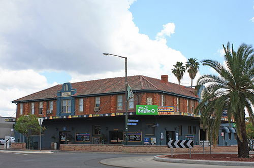
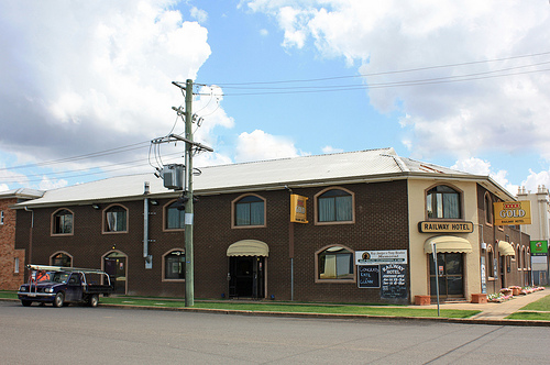
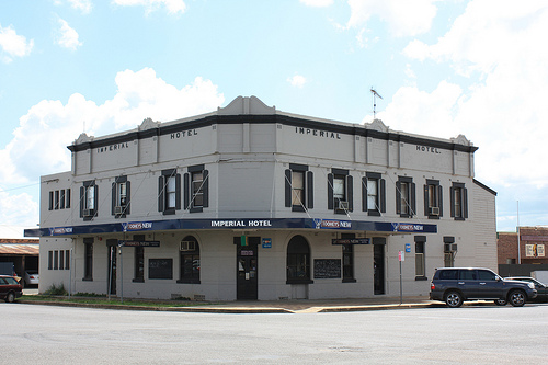
Pictures

Historical Weather
Related Locations
Information of geographic nature is based on public data provided by geonames.org, CIA world facts book, Unesco, DBpedia and wikipedia. Weather is based on NOAA GFS.