
Touring Ventnor in Australia
Ventnor in the region of Victoria is a city located in Australia - some 310 mi or ( 499 km ) South-West of Canberra , the country's capital city .
Time in Ventnor is now 08:25 PM (Wednesday) . The local timezone is named " Australia/Melbourne " with a UTC offset of 11 hours. Depending on your travel resources, these more prominent places might be interesting for you: Stony Point, Shoreham, Rhyll, Red Hill South, and Red Hill. Being here already, consider visiting Stony Point . We collected some hobby film on the internet . Scroll down to see the most favourite one or select the video collection in the navigation. Check out our recommendations for Ventnor ? We have collected some references on our attractions page.
Videos
Phillip Island, Victoria, Australia
Enjoy holidays like they used to be on Phillip Island, just 90 minutes from Melbourne. Bring the family to the iconic Penguin Parade and stay for everything else; breathtaking natural beauty, family a ..
PHILLIP ISLAND
Phillip Island tourism video providing an overview of the many wildlife, nature, coastal and attraction experiences available. Just 90 minutes drive from Melbourne and you can experience so much withi ..
Teresa Healey Uncovers Melbourne & the Great Ocean Road
Discover what lies beyond Victoria's cosmopolitan state capital of Melbourne: the stunning natural environment of the world-famous Great Ocean Road as seen on My Kind of Place. Find out more www.austr ..
Aerial Australia, Penguin Parade Beaches, Phillip Island
Aerial Australia, Little Penguin Rookery and Parade Beaches, west end of Phillip Island, Victoria. Filmed by my wife. ..
Videos provided by Youtube are under the copyright of their owners.
Interesting facts about this location
Summerlands, Victoria
Summerlands was a residential subdivision on Phillip Island in Victoria, Australia, located in the south-west corner of the island, close to a Little Penguin breeding colony. In 1985 the Victorian government decided that to protect the penguin rookery, further development of the subdivision would be prohibited and that all the properties would be progressively purchased by the state.
Located at -38.51 145.15 (Lat./Long.); Less than 5 km away
Wimbledon Heights, Victoria
Wimbledon Heights is a small town in the center of Phillip Island in Victoria, Australia. It consists of a small residential block surrounded by farmland and is located north of the Phillip Island Grand Prix track. At the 2006 census, Wimbledon Heights had a population of 386.
Located at -38.48 145.23 (Lat./Long.); Less than 6 km away
Phillip Island Nature Park
Phillip Island Nature Park (PINP) is a conservation park located on Phillip Island, Victoria, Australia. Created in 1996, the park is owned by the Victorian State Government, however it is a self-funding commercial attraction for the purpose of animal conservation and research. An oil spill off the island in January, 2000 led to a worldwide appeal for hand knit penguin sweaters. Located 1.5 hours drive south of Melbourne, PINP covers several separate areas over 1805 hectares.
Located at -38.48 145.23 (Lat./Long.); Less than 6 km away
Phillip Island
Phillip Island is an Australian island located about 140 km south-southeast from Melbourne, Victoria. Named after Arthur Phillip, the first Governor of New South Wales, Phillip Island forms a natural breakwater for the shallow waters of Western Port. It is 26 km long and 9 km wide, with an area of about 100 km . It has 97 km of coastline and is part of the Bass Coast Shire. A 640 m concrete bridge (originally a wooden bridge) connects the mainland town San Remo with the island town Newhaven.
Located at -38.48 145.23 (Lat./Long.); Less than 6 km away
Cowes, Victoria
Cowes is the main township on Phillip Island in the Gippsland region of Victoria, Australia. It is about two hours' drive from Melbourne and can also be reached by ferry from Stony Point on the Mornington Peninsula. Cowes is located on the northern side of Phillip Island and faces towards French Island and the Mornington Peninsula. At the 2011 census, Cowes had a population of 4053.
Located at -38.45 145.24 (Lat./Long.); Less than 7 km away
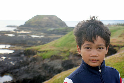
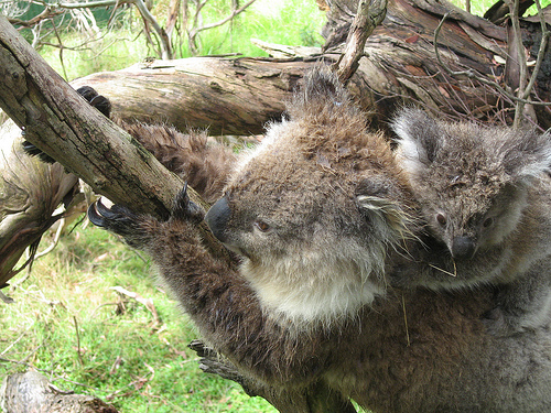
Pictures
Historical Weather
Related Locations
Information of geographic nature is based on public data provided by geonames.org, CIA world facts book, Unesco, DBpedia and wikipedia. Weather is based on NOAA GFS.