-
You are here:
- Homepage »
- Austria »
- Burgenland » Deutsch Jahrndorf

Deutsch Jahrndorf Destination Guide
Explore Deutsch Jahrndorf in Austria
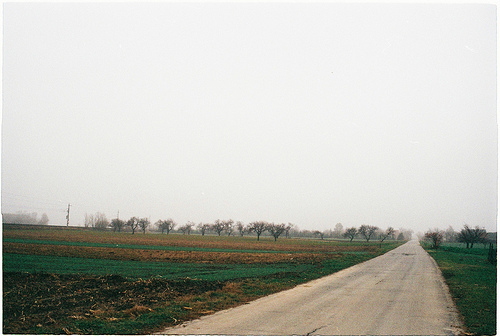
Deutsch Jahrndorf in the region of Burgenland is a town in Austria - some 36 mi or ( 58 km ) East of Vienna , the country's capital city .
Current time in Deutsch Jahrndorf is now 05:14 PM (Tuesday) . The local timezone is named " Europe/Vienna " with a UTC offset of 1 hours. Depending on the availability of means of transportation, these more prominent locations might be interesting for you: Belgrade, Zurndorf, Vienna, Pama, and Nickelsdorf. Since you are here already, make sure to check out Belgrade . We saw some video on the web . Scroll down to see the most favourite one or select the video collection in the navigation. Where to go and what to see in Deutsch Jahrndorf ? We have collected some references on our attractions page.
Videos
Schengen motorway border Slovakia - Austria
The border between Slovakia and Austria after Schengen ..
Schengen motorway border Slovakia - Austria June 2009
On the Austrian side they are removing the border infrastructure, while on the Slovak side nothing changed. This after 18 months from Slovakia entering Schengen. ..
HU/SK border + D2 Bratislava
M1 - M15 - HU/SK - D2 near Bratislava map: bit.ly ..
Nova Rock 2010 Wendi`s Böhmische Blasmusik (großes Solo)
..
Videos provided by Youtube are under the copyright of their owners.
Interesting facts about this location
Bratislava V
Bratislava V is an okres (district) of Bratislava in the Bratislava Region of Slovakia. It is the largest Bratislava district and covers southern areas of Bratislava, including the boroughs of Petržalka, Jarovce, Rusovce and Čunovo. It is bordered by the Danube river to the north and east, which forms its borders with the Bratislava IV, Bratislava I, Bratislava II and Senec districts. It borders on Hungary in the south and Austria in the west.
Located at 48.06 17.11 (Lat./Long.); Less than 5 km away
Slovak Socialist Republic
From 1969 to 1990, the Slovak Socialist Republic (Slovenská socialistická republika in Slovak; abbreviated SSR) was the official name of that part of Czechoslovakia that is Slovakia today. The name was used from 1 January 1969 until March 1990.
Located at 48.13 17.10 (Lat./Long.); Less than 13 km away
Slovak Republic (1939–1945)
The Slovak Republic, also known as the First Slovak Republic (Slovak: Prvá slovenská republika) or the Slovak State, was a semi-independent, Axis client state of Nazi Germany, which existed from 14 March 1939 to 8 May 1945. It existed on roughly the same territory as present-day Slovakia (without the southern and eastern parts). The Republic bordered Germany, the Protectorate of Bohemia and Moravia, General Government (German-occupied remnant of Poland), and Hungary.
Located at 48.13 17.10 (Lat./Long.); Less than 13 km away
Incheba
Incheba Expo or Incheba €XPO is the congress and exposition centre located in Bratislava, in the Petržalka borough, just near Nový Most bridge. It has multi-use exposition halls, parking lot with 4,500 places, the main building 85.6 metres high and the hotel Incheba. The fair programme is oriented to areas such as construction, tourism, gastronomy, chemical industry, automobile industry, cosmetics, fashion, medical equipment and arts.
Located at 48.13 17.10 (Lat./Long.); Less than 13 km away
Port of Bratislava
Port of Bratislava is a major port on the river Danube and — in a wider sense — on the Rhine-Main-Danube waterway, located in Bratislava, the capital of Slovakia. It has two parts, a cargo port and a passenger port. The former is a key facility for Slovakia's economy as one of two international ports in Slovakia, the other being in Komárno. The port authority for the Port of Bratislava is the company Slovenská Plavba a Prístavy, a.s. (SPaP).
Located at 48.13 17.15 (Lat./Long.); Less than 13 km away
Pictures
Historical Weather
Related Locations
Information of geographic nature is based on public data provided by geonames.org, CIA world facts book, Unesco, DBpedia and wikipedia. Weather is based on NOAA GFS.