-
You are here:
- Homepage »
- Austria »
- Lower Austria » Hainburg an der Donau

Hainburg an der Donau Destination Guide
Touring Hainburg an der Donau in Austria
Hainburg an der Donau in the region of Lower Austria with its 5,622 citizens is located in Austria - some 27 mi or ( 43 km ) East of Vienna , the country's capital city .
Time in Hainburg an der Donau is now 09:52 PM (Tuesday) . The local timezone is named " Europe/Vienna " with a UTC offset of 1 hours. Depending on your budget, these more prominent places might be interesting for you: Belgrade, Vienna, Stopfenreuth, Schonabrunn, and Petronell-Carnuntum. Being here already, consider visiting Belgrade . We collected some hobby film on the internet . Scroll down to see the most favourite one or select the video collection in the navigation. Check out our recommendations for Hainburg an der Donau ? We have collected some references on our attractions page.
Videos
Schulgleiter SG 38 @ Spitzerberg easter saturday
SG-38 vintage glider from 1942. The glider is launched by winch @ the airfield Spitzerberg in lower Austria. We do still fly this glider on a regular basis. Its great fun to feel the wind in your face ..
Von Wien nach Bratislava :Hainburg an der Donau
ÖBB ET 4020 und Tragflächenboote aufgenommen bei einer Pause in Hainburg an der Donau . ..
Devín 2004
Jazda veteránov, pri príležitosti vstupu SR do EU. Old cars exhibition. More: www.svajdlenka.com ..
Church in Bad Deutsch Altenburg/Austria
Church in Bad Deutsch Altenburg/Austria, built in 1050. ..
Videos provided by Youtube are under the copyright of their owners.
Interesting facts about this location
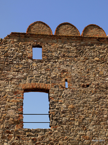
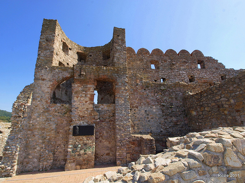
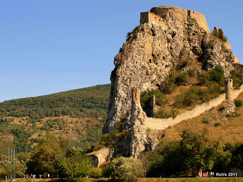
Devín Castle
Devín Castle is a castle in Devín, which is a borough of Bratislava, the capital of Slovakia. Owing to its strategic position, the cliff (altitude of 212 meters) at the confluence of the Danube and Morava rivers was an ideal place for a fort. Its owner could control the important trade route along the Danube as well as one branch of the Amber Road. That is why the site has been settled since the Neolithic and fortified since the Bronze and Iron Age.
Located at 48.17 16.98 (Lat./Long.); Less than 4 km away
Devín Gate
Devín Gate or Hainburger Gate is a natural gate in the Danube valley at the border of Slovakia and Austria. It is one out of four geomorphological areas of the Devín Carpathians, part of the Little Carpathians mountain range. Passau, Devín Gate, and the Iron Gates divide the Danube river into four distinct sections. Devín Gate has been inhabited since prehistoric times, with continuous settlement since 5000 BC.
Located at 48.18 16.98 (Lat./Long.); Less than 4 km away
Battle of the Theben Pass
The Battle of the Theben Pass was fought in the Theben pass near Wieselburg, where the March meets the Danube, in 1060. It was a victory for the nationalist part in Hungary over that of their own pro-German king. In 1058, Solomon, son of Andrew I of Hungary was betrothed to Judith, daughter of the Emperor Henry III. In Hungary, however, a party opposed to such close ties with Germany arose, led by Bela, Andrew's brother.
Located at 48.17 16.98 (Lat./Long.); Less than 4 km away
Devín Carpathians
Devín Carpathians is a subdivision of the Little Carpathians mountain range, located entirely within Bratislava, the capital of Slovakia. It is bordered by the city boroughs of Devín from the west, Devínska Nová Ves from the north, Dúbravka from the east and Karlova Ves from the south. Its highest mountain is Devínska Kobyla at 514 m (1,686 ft) AMSL, it is also the highest point in Bratislava.
Located at 48.19 16.99 (Lat./Long.); Less than 6 km away
Devínska Kobyla
Devínska Kobyla is the highest peak in the Devín Carpathians, part of the Little Carpathians mountain range, and the highest point of Bratislava, the capital of Slovakia. It is located between the boroughs of Devínska Nová Ves, Devín and Dúbravka, close to the border with Austria. Its peak elevation is 514 m (1686.3 ft) AMSL and its treeless summit contains an abandoned military rocket base (Slovak: Rádiotechnická hláska protivzdušnej obrany štátu) that is officially inaccessible to the public.
Located at 48.19 17.00 (Lat./Long.); Less than 6 km away
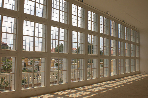
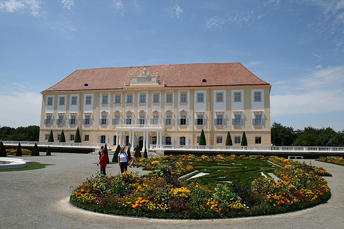
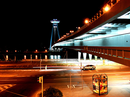
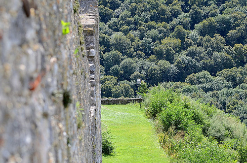
Pictures
Historical Weather
Related Locations
Information of geographic nature is based on public data provided by geonames.org, CIA world facts book, Unesco, DBpedia and wikipedia. Weather is based on NOAA GFS.