-
You are here:
- Homepage »
- Austria »
- Lower Austria » Kritzendorf

Kritzendorf Destination Guide
Discover Kritzendorf in Austria
Kritzendorf in the region of Lower Austria is a town located in Austria - some 9 mi or ( 14 km ) North of Vienna , the country's capital .
Local time in Kritzendorf is now 01:04 PM (Sunday) . The local timezone is named " Europe/Vienna " with a UTC offset of 1 hours. Depending on your flexibility, these larger cities might be interesting for you: Vienna, Weisser Hof, Stockerau, Sankt Pölten, and Langenzersdorf. When in this area, you might want to check out Vienna . We found some clip posted online . Scroll down to see the most favourite one or select the video collection in the navigation. Are you looking for some initial hints on what might be interesting in Kritzendorf ? We have collected some references on our attractions page.
Videos
Jose Feliciano - The Third Man / Harry Lime Theme - 2009
A new fantastic video of the new Austrian Album by Jose Feliciano for La Clip. Wien-Österreich - Der dritte mann Harry Limes. Jose Plays guitar (and drive car) for the famous 1949 theme included in hi ..
25 Jahre Wiesnschurli (c) - Blechblos'n
25 Jahre Wiesnschurli - Fest am Buchberg in Klosterneuburg mit der bayrischen Kultband "Blechblos'n". ..
Hochwasser Wien Donauinsel Nord Schleuse
..
Vienna strikes up good and proper in Paris
Waltzes are danced in the Paris metro - St. Lazare "In this moment, you could be listening to this music in one of the world's greatest concert halls. Take the next train to Vienna. Vienna -- Now or n ..
Videos provided by Youtube are under the copyright of their owners.
Interesting facts about this location
Wien-Umgebung District
Bezirk Wien-Umgebung is a district of the state of Lower Austria in Austria. The district comprises four non-contiguous districts on the outer fringes of Vienna: these are Klosterneuburg and Gerasdorf to the north of the city, Schwechat to its south-east and Purkersdorf on Vienna's western side. Vienna International Airport, the headquarters of Austrian Airlines, and the headquarters of Niki are in the city of Schwechat, in the district.
Located at 48.30 16.32 (Lat./Long.); Less than 3 km away
Institute of Science and Technology, Austria
The Institute of Science and Technology Austria, popularly known as IST Austria, is an institute of basic research located in Klosterneuburg, close to Vienna (Austria). The draft concept was developed by the Austrian physicist Anton Zeilinger in 2002. Preparation work started in 2007.
Located at 48.31 16.26 (Lat./Long.); Less than 4 km away
Kahlenberg
Kahlenberg is a mountain located in the 19th District within Vienna, Austria.
Located at 48.28 16.33 (Lat./Long.); Less than 6 km away
Kahlenberg Transmitter
The Kahlenberg Transmitter is a facility for FM- and TV on the Kahlenberg near Vienna. It was established in 1953 and used until 1956 an antenna on the observation tower Stefaniewarte. From 1956 to 1974 a 129 metre high guyed mast built of lattice steel was used. Since 1974 a 165 metre high guyed steel tube mast has been used, which is equipped with rooms of technical equipment.
Located at 48.28 16.33 (Lat./Long.); Less than 6 km away
Leopoldsberg
The Leopoldsberg (425 m, 1,394 ft) is perhaps Vienna’s most famous hill, towering over the Danube and the city. Leopoldberg’s most prominent landmark is the church which stands at the top, and which is clearly visible from Vienna below. The construction of Saint Leopold's Church on Leopoldsberg began in 1679; an expansion following a design by Antonio Beduzzi was undertaken from 1718 to 1730. Other renovations were to follow.
Located at 48.28 16.35 (Lat./Long.); Less than 7 km away
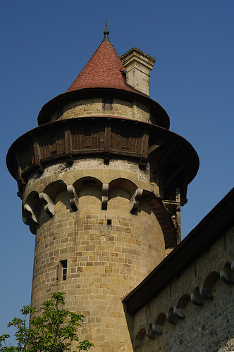
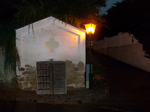
Pictures


Historical Weather
Related Locations
Information of geographic nature is based on public data provided by geonames.org, CIA world facts book, Unesco, DBpedia and wikipedia. Weather is based on NOAA GFS.