
Discover Nederbrakel in Belgium
Nederbrakel in the region of Flanders is a town located in Belgium - some 26 mi or ( 42 km ) West of Brussels , the country's capital .
Local time in Nederbrakel is now 06:43 AM (Wednesday) . The local timezone is named " Europe/Brussels " with a UTC offset of 1 hours. Depending on your flexibility, these larger cities might be interesting for you: London, Cambridge, The Hague, Haarlem, and Amsterdam. When in this area, you might want to check out London . We found some clip posted online . Scroll down to see the most favourite one or select the video collection in the navigation. Are you looking for some initial hints on what might be interesting in Nederbrakel ? We have collected some references on our attractions page.
Videos
Koetsrit naar de Zwalmstreek
Lenterit naar de Zwalmstreek met paard en koets ..
[Jolt] loserke14 on karkand
***WATCH IN HIGH QUALITY*** youtube removed the original song... hope you like it :-) ..
Wafelentocht Egmont Zottegem
http:/:everyoneweb.com/vlaamseardennen Wafelentocht Egmont Zottegem ..
Goliath waltz ath
giants go to wedding and waltz ..
Videos provided by Youtube are under the copyright of their owners.
Interesting facts about this location
Nederbrakel
Nederbrakel is a village in the municipality of Brakel. It is located in the Denderstreek and in the Flemish Ardennes, the hilly southern part of the province of East-Flanders, Belgium. With 6500 residents, it forms the largest individual part of the municipality.
Located at 50.80 3.76 (Lat./Long.); Less than 0 km away
Brakel
Brakel is a municipality in the Belgian province of East Flanders in the Denderstreek and the Flemish Ardennes. The name is derived from a Carolingian villa Braglo first mentioned in 866 and located in the center of Opbrakel. Since 1970, the municipality has comprised the villages of Nederbrakel, Opbrakel, Michelbeke, Elst, Zegelsem. In 1977 Everbeek, Parike and part of Sint-Maria-Oudenhove were added. On January 1, 2006 Brakel had a population of 13,726.
Located at 50.81 3.74 (Lat./Long.); Less than 2 km away
Michelbeke
Michelbeke is a village in the municipality of Brakel, Belgium. It is located in the Denderstreek and in the Flemish Ardennes, the hilly southern part of the province of East-Flanders, Belgium. It was itself a municipality until the fusion of the municipalities on January 1, 1971.
Located at 50.83 3.76 (Lat./Long.); Less than 4 km away
Sint-Martens-Lierde
Sint-Martens-Lierde is a small village which makes up part of the municipality of Lierde. It is located in the Denderstreek and in the Flemish Ardennes, the hilly southern part of the Belgian province of East Flanders. The village's coat of arms shows some agricultural implements, and was granted in 1818.
Located at 50.80 3.82 (Lat./Long.); Less than 4 km away
Sint-Maria-Oudenhove
Sint-Maria-Oudenhove is a village in the Denderstreek and in the Flemish Ardennes, the hilly southern part of the province of East Flanders, Belgium. It was formerly a municipality itself. In 1977 the main part of the settlement became part of the municipality of Zottegem, with a smaller section joining the municipality of Brakel.
Located at 50.83 3.80 (Lat./Long.); Less than 4 km away
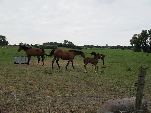
Pictures
Historical Weather
Related Locations
Information of geographic nature is based on public data provided by geonames.org, CIA world facts book, Unesco, DBpedia and wikipedia. Weather is based on NOAA GFS.