
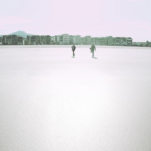
Explore Biriatou in France
Biriatou in the region of Aquitaine with its 898 inhabitants is a place in France - some 429 mi or ( 690 km ) South-West of Paris , the country's capital city .
Time in Biriatou is now 12:31 PM (Tuesday) . The local timezone is named " Europe/Paris " with a UTC offset of 1 hours. Depending on your budget, these more prominent locations might be interesting for you: Urrugne, Saint-Jean-de-Luz, Nantes, Limoges, and Hendaye-Plage. Since you are here already, consider visiting Urrugne . We saw some hobby film on the internet . Scroll down to see the most favourite one or select the video collection in the navigation. Where to go and what to see in Biriatou ? We have collected some references on our attractions page.
Videos
Voyage au Portugal
Direction le portugal au mois d'Avril 2008 regresso a casa!! ..
FUENTERRABIA ♣ HONDARRIBIA ♣ Benito Lertxundi
Bello pueblo costero de Guipuzcoa. Una de las zonas más bonitas de Euskadi. ..
GR 10 - Traversée intégrale - Partie 1/4
Traversée des Pyrénées sur le GR10 - Partie 1/4 - Hendaye à Arrens Marsous ..
passaggio a livello doppio a Hendaye / passage à niveau / level crossing euskotren
WWW.PASSAGGIOALIVELLO.135.IT bahnübergang in Hendaye paso a nivel en Hendaya ισόπεδη διάβαση στο Hendaye passaggio a livello a Hendaye level crossing in Hendaye passage à niveau à Hendaye ..
Videos provided by Youtube are under the copyright of their owners.
Interesting facts about this location
Pheasant Island
Pheasant Island is a river island in the Bidasoa river. The island is a condominium established by the Treaty of the Pyrenees in 1659, under joint sovereignty of Spain and France, and is administered by Irun and Hendaye, which control the island for alternating periods of six months. The island has an area of 6,820 m² (nearly 2 acres) and has been artificially protected from the currents of the river. In French, the island is also known as Île de l’hôpital and Île de la Conférence.
Located at 43.34 -1.77 (Lat./Long.); Less than 2 km away
Battle of the Bidassoa (1813)
In the Battle of the Bidasoa (or the Battle of Larrun) on 7 October 1813 the Allied army of Arthur Wellesley, Marquess of Wellington wrested a foothold on French soil from Nicolas Soult's French army. The Allied troops overran the French lines behind the Bidassoa River on the coast and along the Pyrenees crest between the Bidasoa and La Rhune (Larrun). The nearest towns to the fighting are Irun on the lower Bidassoa and Bera on the middle Bidasoa.
Located at 43.34 -1.72 (Lat./Long.); Less than 2 km away
Untxin
The Untxin is a coastal river of the French Basque Country, in Aquitaine, Southwest France. It rises on the northern slope of the Xoldokogaina (479 m), in the east of Biriatou. The motorway of the Basque Coast (A63) is settled in its valley. It collects in Urrugne waters from the Mandale. The Untxin flows into the ocean in Ciboure.
Located at 43.33 -1.72 (Lat./Long.); Less than 2 km away
Battle of Irún
The Battle of Irún was the critical battle of the Campaign of Gipuzkoa prior to the War in the North, during the Spanish Civil War. The Nationalist Army, under Alfonso Beorlegui, captured the city of Irún cutting off the northern provinces of Gipuzkoa, Biscay, Santander, and Asturias from their source of arms and support in France.
Located at 43.33 -1.78 (Lat./Long.); Less than 3 km away
Stadium Gal
Stadium Gal is a multi-purpose stadium in Irun, Spain. It is currently used mostly for football matches and hosts the home matches of Segunda División club, Real Unión. The capacity of the stadium is 5,000 spectators.
Located at 43.35 -1.79 (Lat./Long.); Less than 4 km away
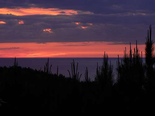
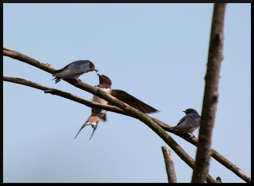
Pictures

Related Locations
Information of geographic nature is based on public data provided by geonames.org, CIA world facts book, Unesco, DBpedia and wikipedia. Weather is based on NOAA GFS.