
Explore Ploumoguer in France
Ploumoguer in the region of Bretagne with its 1,726 inhabitants is a town in France - some 324 mi or ( 522 km ) West of Paris , the country's capital city .
Current time in Ploumoguer is now 09:11 AM (Wednesday) . The local timezone is named " Europe/Paris " with a UTC offset of 1 hours. Depending on the availability of means of transportation, these more prominent locations might be interesting for you: Oxford, Bristol, Cork, Saint-Renan, and Rennes. Since you are here already, make sure to check out Oxford . We saw some video on the web . Scroll down to see the most favourite one or select the video collection in the navigation. Where to go and what to see in Ploumoguer ? We have collected some references on our attractions page.
Videos
Tempete en Bretagne
Tempete sur la pointe de Bretagne ..
algenhafen von lanildut
europe's main seaweed port. harvest being transferred to truck. ..
Plouarzel, cap sur la mer d'Iroise
Paysages et éléments du patrimoine de Plouarzel. Rêvez entre mer et terre... ..
Pays d' Iroise. Bilder aus der Bretagne.
Rundreise in der westlichen Bretagne, dem Pays d' Iroise, von Saint Mathieu, Le Conquet, Plouarzel, Aber Wrach, Brignogan Plage, Landerneau nach Brest. Round trip in Western Brittany, the Pays d'Irois ..
Videos provided by Youtube are under the copyright of their owners.
Interesting facts about this location
Pointe de Corsen
The Pointe de Corsen is the westernmost point of continental France, located west of Brest in the Plouarzel Commune, Finistère, Brittany. The nearest village is Ruscumunoc. A CROSS sea monitoring site is located at the point. Pointe de Corsen is located at {{#invoke:Coordinates|coord}}{{#coordinates:48|24|52|N|4|47|40|W|region:FR_type:airport |primary |name= }}
Located at 48.41 -4.79 (Lat./Long.); Less than 6 km away
Fort de Bertheaume
The Fort de Bertheaume is a fort in Plougonvelin, the Department of Finistère, France. It is located on an island, which is nowadays connected to the dry land by a footbridge. It was used a long time for the monitoring of Goulet de Brest.
Located at 48.34 -4.70 (Lat./Long.); Less than 7 km away
Déolen
Déolen is a small coastal village in the commune of Locmaria-Plouzané in Brittany, France. Déolen has a popular surfing beach. It is 12 kilometers from Brest and 21 kilometers from the Brest International Airport. It was the landfall of the French transatlantic telegraph cables. "Deolen" is a village in the toda-bhim tehsil,karauli district which lies in eastern rajasthan. It is a Gurjar dominant village with "rankwal" being the 'gotra' or sub-caste of the people living here.
Located at 48.35 -4.64 (Lat./Long.); Less than 8 km away
Abbaye Saint-Mathieu de Fine-Terre
The abbaye Saint-Mathieu-de-Fine-Terre is a Breton abbey, whose ruins are to be found in the territory of what is now the commune of Plougonvelin on pointe Saint-Mathieu (Beg Lokmazhe in Breton), in the département of Finistère. It gives the cape its name. It was dedicated to Matthew the Evangelist, whose skull it contained.
Located at 48.33 -4.77 (Lat./Long.); Less than 9 km away
Pointe Saint-Mathieu
The pointe Saint-Mathieu (Lok Mazé in Breton) is a headland located near Le Conquet in the territory of the commune of Plougonvelin in France, flanked by 20m high cliffs.
Located at 48.33 -4.77 (Lat./Long.); Less than 9 km away
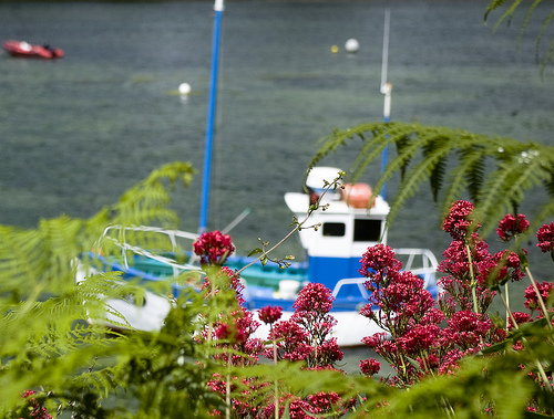
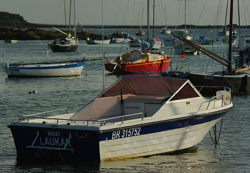
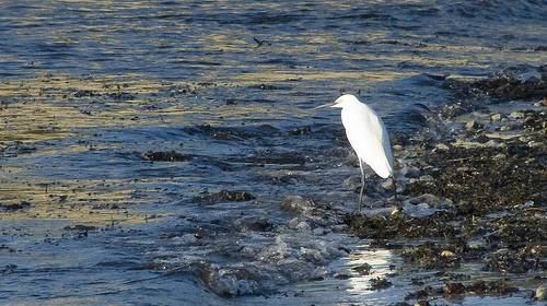
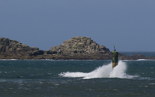
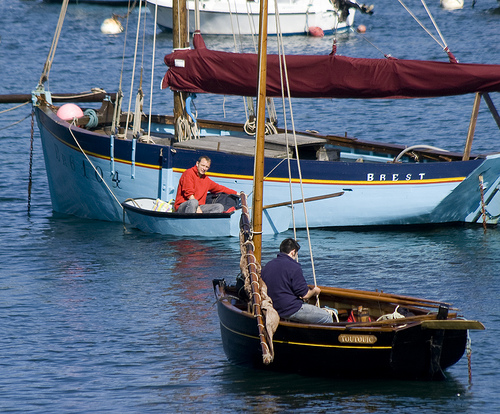
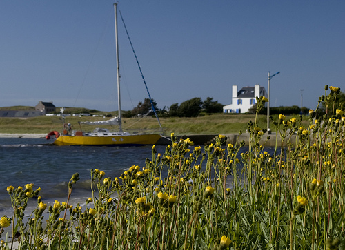
Pictures
Related Locations
Information of geographic nature is based on public data provided by geonames.org, CIA world facts book, Unesco, DBpedia and wikipedia. Weather is based on NOAA GFS.