-
You are here:
- Homepage »
- France »
- Franche-Comte » Mantoche

Mantoche Destination Guide
Explore Mantoche in France
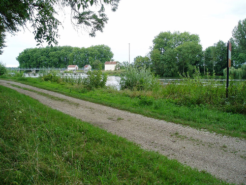
Mantoche in the region of Franche-Comté with its 527 inhabitants is a place in France - some 177 mi or ( 285 km ) South-East of Paris , the country's capital city .
Time in Mantoche is now 09:24 AM (Tuesday) . The local timezone is named " Europe/Paris " with a UTC offset of 1 hours. Depending on your budget, these more prominent locations might be interesting for you: Geneva, Brussels, Renève, Pontailler-sur-Saone, and Pesmes. Since you are here already, consider visiting Geneva . We saw some hobby film on the internet . Scroll down to see the most favourite one or select the video collection in the navigation. Where to go and what to see in Mantoche ? We have collected some references on our attractions page.
Videos
Karper vissen Frankrijk Le Val Dore - Jeroen H
www.peterkonigs.nl http Le Val Dore Stek 2 (swim 2) ..
OVER GRAY en ULM
Depuis le terrain de Gray St Adrien,un survol de Gray en pendulaire. La camera (GOPRO) est simplement tenue à la main,pour changer d'angles Le pilote est Jérome ..
Pluie
Lors d'un jour orageux, avec une pluie abondante de septembre, en Haute-Saône, vue d'une fenêtre ..
GlobalGrasshopper goes boating on the Saone, France
GlobalGrasshopper goes boating on the Saone, in France, courtesy of FPP Holidays ..
Videos provided by Youtube are under the copyright of their owners.
Interesting facts about this location
Graves (system)
GRAVES (Grand Réseau Adapté à la Veille Spatiale) is a French radar-based space surveillance system, akin to the American NAVSPASUR. Using radar measurements, the French Air Force is able to spot satellites orbiting the Earth and determine their orbit. The GRAVES system took 15 years to develop, and became operational in November, 2005. GRAVES is a bistatic radar system using Doppler and directional information to derive the orbits of the detected satellites.
Located at 47.35 5.52 (Lat./Long.); Less than 8 km away
Ognon (Franche-Comté)
The Ognon is a river of eastern France. It is a left tributary of the Saône, which it joins in Pontailler-sur-Saône. Its source is in Haut-du-Them-Château-Lambert in the Vosges mountains near the Ballon d'Alsace. The Ognon flows through the following départements and towns: Haute-Saône: Mélisey, Lure, Villersexel, Pesmes Doubs: Rougemont Jura: Côte-d'Or: Pontailler-sur-Saône
Located at 47.31 5.43 (Lat./Long.); Less than 14 km away
Acey Abbey
Acey Abbey is a former Cistercian abbey founded in 1136, and occupied since 1873 by Trappist monks. It is located in Vitreux in the department of Jura, France, on the River Ognon, about 26 kilometres north-north-east of Dole and about 7 kilometres north of Gendrey.
Located at 47.26 5.66 (Lat./Long.); Less than 20 km away
Pictures


Historical Weather
Related Locations
Information of geographic nature is based on public data provided by geonames.org, CIA world facts book, Unesco, DBpedia and wikipedia. Weather is based on NOAA GFS.