-
You are here:
- Homepage »
- France »
- Languedoc-Roussillon » La Palme

La Palme Destination Guide
Touring La Palme in France
La Palme in the region of Languedoc-Roussillon is located in France - some 407 mi or ( 655 km ) South of Paris , the country's capital city .
Time in La Palme is now 07:46 AM (Saturday) . The local timezone is named " Europe/Paris " with a UTC offset of 1 hours. Depending on your budget, these more prominent places might be interesting for you: Villeseque-des-Corbieres, Salses-le-Chateau, Saint-Jean-de-Barrou, Saint-Andre-de-Roquelongue, and Peyriac-de-Mer. Being here already, consider visiting Villeseque-des-Corbieres . We collected some hobby film on the internet . Scroll down to see the most favourite one or select the video collection in the navigation. Check out our recommendations for La Palme ? We have collected some references on our attractions page.
Videos
vendange 2008
vendange fitou 2008 ..
Billie Jean by The Swing Dealers
WING DEALERS is a band which finds its roots in the swing-jazz of the 50's and the 60's, but at the same time, it is strongly influenced by more soulful and contemporary sound. The band rests upon the ..
2007 Char à voile La Franqui
Petite balade à grande vitesse... ..
Visite de Port La Nouvelle
..
Videos provided by Youtube are under the copyright of their owners.
Interesting facts about this location
Phare du Cap Leucate
The Phare du Cap Leucate is a lighthouse situated on the Cap Leucate, located in the south-eastern part of the Corbières maritimes in the French Department Aude on the territory of the commune of Leucate. It was constructed in 1950 and illuminated in 1951. It is an automatic but guarded lighthouse; visits are not permitted.
Located at 42.90 3.05 (Lat./Long.); Less than 9 km away
Gate of the Catalan Countries
The Gate of the Catalan Countries (Catalan: Porta dels Països Catalans), a work of the sculptor Emili Armengol, marks the Northern starting location of the Catalan Countries in Salses, Pyrénées-Orientales . After more than 20 years since the beginning of the project (often stopped, and even sometimes forbidden), it was finally inaugurated on September 28, 2003, being visible from the highway. Its conception and execution was in charge of the Union for the Catalan Region.
Located at 42.85 2.94 (Lat./Long.); Less than 14 km away
Côtes du Roussillon AOC
Côtes du Roussillon is an Appellation d'Origine Contrôlée for wines made in the Roussillon wine region of France. It is the least selective AOC in the Roussillon region. In 2002, 21,048,500 litres of Côtes du Roussillon were produced, 68% red, 28% rosé and 4% white. Grenache is the dominant variety in Red and Rosé. According to the AOC rules, red wines must, though, be made with at least three varieties of grapes.
Located at 42.87 2.90 (Lat./Long.); Less than 15 km away
Château de Durban
Not to be confused with Château de Durban in Beaumes-de-Venise, Vaucluse. The Château de Durban is a ruined castle in the village of Durban-Corbières in the Aude département of southwestern France.
Located at 42.99 2.82 (Lat./Long.); Less than 15 km away
Perillos
Perillos is a small, abandoned village, near Perpignan, France. Originally independent, since 1973, it is linked with Opoul, and hence known as Opoul-Perillos.
Located at 42.90 2.85 (Lat./Long.); Less than 15 km away
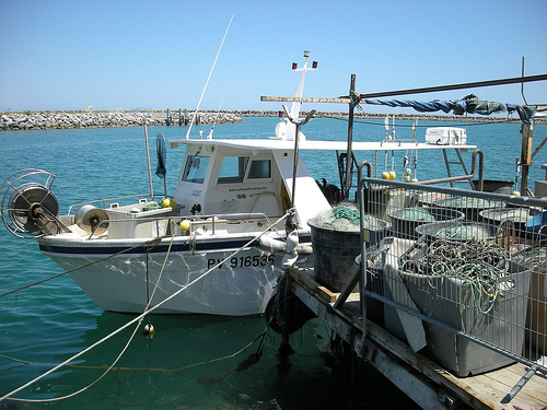
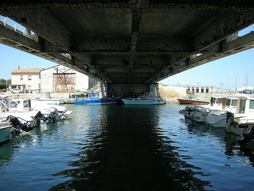
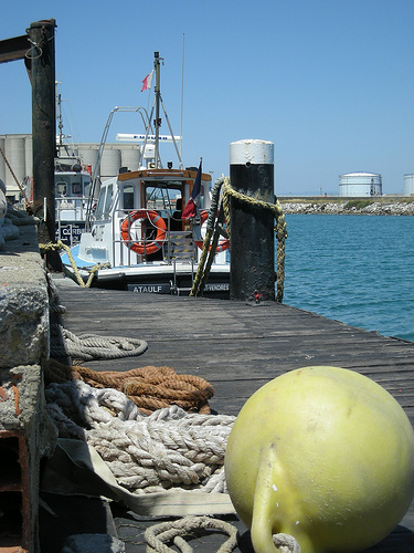
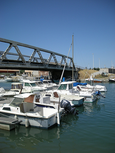
Pictures
Historical Weather
Related Locations


Information of geographic nature is based on public data provided by geonames.org, CIA world facts book, Unesco, DBpedia and wikipedia. Weather is based on NOAA GFS.