
Explore Vaucouleurs in France
Vaucouleurs in the region of Lorraine with its 2,311 inhabitants is a town in France - some 152 mi or ( 245 km ) East of Paris , the country's capital city .
Current time in Vaucouleurs is now 03:02 PM (Saturday) . The local timezone is named " Europe/Paris " with a UTC offset of 1 hours. Depending on the availability of means of transportation, these more prominent locations might be interesting for you: Haarlem, Amsterdam, Brussels, Vouthon-Haut, and Paris. Since you are here already, make sure to check out Haarlem . Where to go and what to see in Vaucouleurs ? We have collected some references on our attractions page.
Videos
Videos provided by Youtube are under the copyright of their owners.
Interesting facts about this location
List of Air Service American Expeditionary Force aerodromes in France
List of Air Service American Expeditionary Force aerodromes in France see also: Organization of the Air Service of the American Expeditionary Force At the time of the United States entry into World War I on 6 April 1917, the Air Service of the United States Army existed only as a branch of the Signal Corps, and was known by the name of Aviation Section, U.S. Signal Corps. Its personnel consisted of 1,120 personnel of which 65 were officers.
Located at 48.53 5.60 (Lat./Long.); Less than 10 km away
Château de Commercy
The Château de Commercy is a castle in the town of Commercy, in the Meuse department of France. It was the principal residence of the reigning Prince of Commercy and was built by Charles Henri de Lorraine. The site, château and grounds, was classified Monument historique in 1960, with the town being added in 1972.
Located at 48.76 5.59 (Lat./Long.); Less than 19 km away
Canton of Coussey
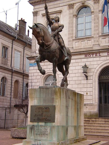
The Canton of Coussey is a rural French administrative and electoral grouping of communes in the Vosges département of eastern France and in the region of Lorraine. The territory of the canton includes Joan of Arc's birthplace. One of 7 cantons in the Arrondissement of Neufchâteau, the Canton of Coussey has its administrative centre at Coussey.
Located at 48.41 5.67 (Lat./Long.); Less than 22 km away
Rupt de Mad
The Rupt de Mad (French: le Rupt de Mad) is a 54.6 km long river in the Meuse and Meurthe-et-Moselle départements, northeastern France. Its source is several small streams which rise at Geville, 17 km northwest of Toul. It flows generally northeast. It is a left tributary of the Moselle into which it flows at Arnaville, 15 km southwest of Metz.
Located at 48.80 5.71 (Lat./Long.); Less than 22 km away
Pictures
Historical Weather
Related Locations
Information of geographic nature is based on public data provided by geonames.org, CIA world facts book, Unesco, DBpedia and wikipedia. Weather is based on NOAA GFS.