-
You are here:
- Homepage »
- Germany »
- North Rhine-Westphalia » Simmerath

Simmerath Destination Guide
Delve into Simmerath in Germany
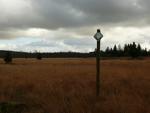
Simmerath in the region of North Rhine-Westphalia with its 15,646 residents is located in Germany - some 333 mi or ( 536 km ) South-West of Berlin , the country's capital .
Local time in Simmerath is now 08:38 PM (Tuesday) . The local timezone is named " Europe/Berlin " with a UTC offset of 1 hours. Depending on your mobility, these larger destinations might be interesting for you: Haarlem, Amsterdam, Brussels, Trier, and Rurberg. While being here, you might want to check out Haarlem . We discovered some clip posted online . Scroll down to see the most favourite one or select the video collection in the navigation. Are you curious about the possible sightseeing spots and facts in Simmerath ? We have collected some references on our attractions page.
Videos
Visit of Das Rote Haus in MONSCHAU
Visit of "Das Rote Haus" in Monschau ( Germany) by students Woodcarving of Syntra Hasselt and Patrick Damiaens ( Belgium) www.patrickdamiaens.be ..
Lammersdorf Crossing - Wiehweg
Vennbahn railway crossing through a residential area of Lammersdorf ..
HD - Streets of Monschau
www.travelswithmywife.com, A High Definition Short of the town of Monschau in Germany. Netsled in the Ardennes forest along the Belgian border. Village frontalier entre l'Allemagne et les Ardennes Bel ..
B258 at Konzen
Traffic crossing the German Belgian border on a German road that runs through Belgium but does not connect to the main Belgian road system ..
Videos provided by Youtube are under the copyright of their owners.
Interesting facts about this location
Battle of Kesternich
Kesternich is a small village just inside the German border from Belgium. It was the site of two major battles during World War II. These battles are tied to the Siegfried Line Campaign, Battle of the Huertgen Forest, Battle of the Bulge, and Roer Dam Assault at the outset of Operation Lumberjack.
Located at 50.61 6.33 (Lat./Long.); Less than 2 km away
Urft (river)
Urft is a 31.1 mile long river of North Rhine-Westphalia, Germany.
Located at 50.60 6.38 (Lat./Long.); Less than 6 km away
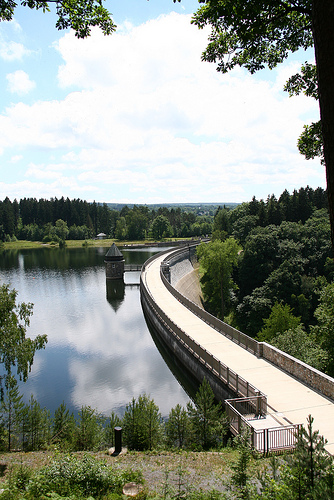
Rur Dam
The Rur Dam is a 77.2 metre high dam located in the southwestern part of the state of North Rhine-Westphalia in Germany. It was built in 1939 and impounds the River Rur to form the Rur Reservoir (Rurstausee or Rursee) which is 7.83 km² in area. It lies within the districts of Aachen and Düren.
Located at 50.63 6.40 (Lat./Long.); Less than 8 km away
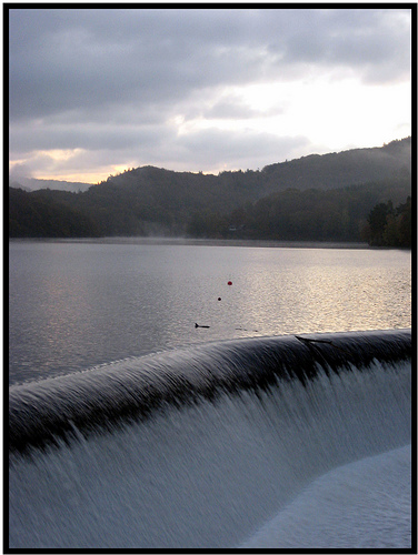
Urft Dam
The Urft Dam is a 58.50 metre high dam in the southwestern part of the state of North Rhine-Westphalia in Germany. It was built in 1905. The dam impounds the River Urft in the district of Euskirchen to create the Urft Reservoir (Urftstausee), 2.16 km² in area. The reservoir is also called the Urftsee (Lake Urft).
Located at 50.60 6.42 (Lat./Long.); Less than 8 km away
Vogelsang Military Training Area
Vogelsang Military Training Area lay in the German North Eifel hills between the villages of Simmerath, Heimbach and Schleiden in the state of North Rhine-Westphalia. It was established in 1946 and handed back at the end of 2005, and consisted of the grounds of the former Nazi leadership training centre in the fort of Vogelsang on the Erpenscheid hill plus additional terrain including the so-called Dreiborn Plateau. In the north and east it was bounded by the Urft Reservoir.
Located at 50.58 6.42 (Lat./Long.); Less than 9 km away
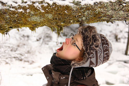
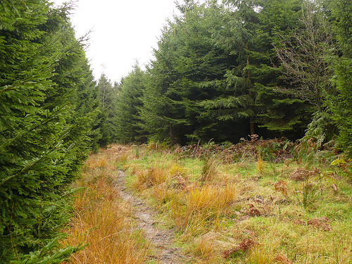
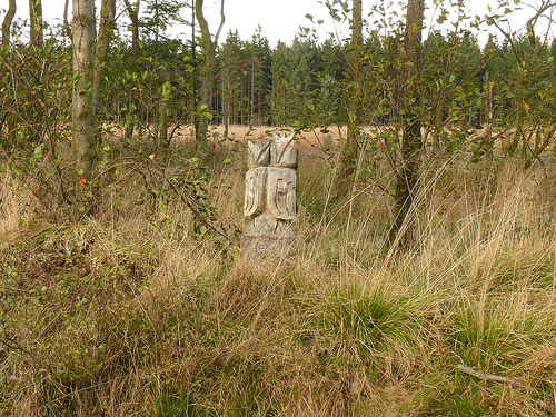
Pictures
Historical Weather
Related Locations
Information of geographic nature is based on public data provided by geonames.org, CIA world facts book, Unesco, DBpedia and wikipedia. Weather is based on NOAA GFS.