-
You are here:
- Homepage »
- Germany »
- Schleswig-Holstein » Westerhever

Westerhever Destination Guide
Explore Westerhever in Germany
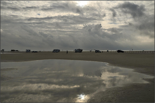
Westerhever in the region of Schleswig-Holstein with its 121 inhabitants is a town in Germany - some 233 mi or ( 375 km ) North-West of Berlin , the country's capital city .
Current time in Westerhever is now 04:35 AM (Sunday) . The local timezone is named " Europe/Berlin " with a UTC offset of 1 hours. Depending on the availability of means of transportation, these more prominent locations might be interesting for you: Varde, Sønderborg, Copenhagen, Kolding, and Haderslev. Since you are here already, make sure to check out Varde . We encountered some video on the web . Scroll down to see the most favourite one or select the video collection in the navigation. Where to go and what to see in Westerhever ? We have collected some references on our attractions page.
Videos
Biikebrennen in St. Peter-Ording
Biikebrennen in St. Peter-Ording. Wie in über 80 anderen Ortschaften an der Nord- und Ostseeküste wurde auch in St. Peter-Ording traditionell eine Biike-Feuer entzündet. ..
Nordfriesland - So schön ist es nur an der Nordsee
St.Peter-Ording, Föhr, Pellworm, Westerhever .. ..
Happy Campers VI
Riding unlimited in St. Peter Ording, Germany. ..
AALERNHÜS hotel & spa **** in St. Peter-Ording 2012
Nach umfangreichen Neu- und Umbauarbeiten ist das Hotel ALERNHÜS hotel & spa in St. Peter-Ording seit dem 01.08.2012 wieder eröffnet. In einem der schönsten deutschen Ferienlandschaften an der Nordsee ..
Videos provided by Youtube are under the copyright of their owners.
Interesting facts about this location
Wadden Sea National Parks
The Wadden Sea National Parks, part of a UNESCO World Heritage Site, are located along the German coast of the North Sea.
Located at 54.46 8.65 (Lat./Long.); Less than 8 km away
Rungholt
Rungholt was a wealthy city in Nordfriesland, in the Danish duchy of Schleswig. It sank beneath the waves when a storm tide in the North Sea tore through the area on January 16, 1362. Rungholt was situated on the island of Strand, which was rent asunder by another storm tide in 1634, and of which the islets of Pellworm, Nordstrand and Nordstrandischmoor are the only remaining fragments.
Located at 54.47 8.72 (Lat./Long.); Less than 10 km away
Eiderstedt
Eiderstedt is a peninsula in the district of Nordfriesland in the German federal state of Schleswig-Holstein.
Located at 54.35 8.83 (Lat./Long.); Less than 11 km away
Süderoog
Süderoog is one of the Halligen, a group of islands in the North Frisian Wadden Sea, off the west coast of Schleswig-Holstein in north Germany. It belongs administratively to the parish of Pellworm and is a bird reserve. Before the Burchardi flood in 1634 there were three houses on the island, one of which was inhabited by the beach lookout (Strandvogt). He was also the caretaker of the beacon, which was destroyed during the storm surge of 1634.
Located at 54.46 8.55 (Lat./Long.); Less than 12 km away
Eider Barrage
The Eider Barrage is located at the mouth of the river Eider near Tönning on Germany’s North Sea coast. Its main purpose is protection from storm surges by the North Seas. It is Germany’s largest coastal protection structure. It was also intended to contribute to economic recovery in the districts of Norderdithmarschen (today part of Dithmarschen) and Eiderstedt (today part of Nordfriesland). Celebrated as a structure of the century, it was opened on 20 March 1973.
Located at 54.26 8.85 (Lat./Long.); Less than 17 km away
Pictures
Historical Weather
Related Locations
Information of geographic nature is based on public data provided by geonames.org, CIA world facts book, Unesco, DBpedia and wikipedia. Weather is based on NOAA GFS.