-
You are here:
- Homepage »
- Guatemala »
- Quetzaltenango » El Palmar

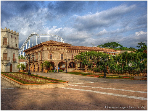
El Palmar Destination Guide
Delve into El Palmar in Guatemala
El Palmar in the region of Quetzaltenango with its 15,167 residents is a city in Guatemala - some 72 mi or ( 115 km ) West of New Guatemala , the country's capital .
Current time in El Palmar is now 03:15 AM (Saturday) . The local timezone is named " America/Guatemala " with a UTC offset of -6 hours. Depending on your travel modalities, these larger destinations might be interesting for you: Chetumal, Belmopan, Belize City, San Salvador, and Santa Tecla. While being here, make sure to check out Chetumal . We encountered some video on the web . Scroll down to see the most favourite one or select the video collection in the navigation. Are you curious about the possible sightseeing spots and facts in El Palmar ? We have collected some references on our attractions page.
Videos
Irtra Retalhuleu Guatemala 2012.mpg
Xetulul, Xocomil, Irtra 2012, Video Filmado y Editado Por Wja Mix ..
Volcán Santiaquito from the summit of Volcán Santa María, Guatemala
Getting to see this same volcano erupt from the other side and from above was a thrill and well worth waiting through the cold. ..
Procescion Martes Santo 2012 Mazatenango - TodoSuchi.com
Recorrido Procesional del Martes Santo en Mazatnenago ..
Avalancha
Recorrido de la Avalancha del Xetulul ..
Videos provided by Youtube are under the copyright of their owners.
Interesting facts about this location
El Palmar, Quetzaltenango
El Palmar is a municipality in the Quetzaltenango department of Guatemala El Palmar is mostly an agricultural municipality, with coffee being one of its main products. Many years ago, El Palmar was nearly destroyed by a volcanic eruption of the Santiaguito volcano. Nuevo El Palmar was founded a few kilometers away where most people re-settled. Some inhabitants chose to stay or go back to the original town.
Located at 14.65 -91.58 (Lat./Long.); Less than 0 km away
San Felipe, Retalhuleu
San Felipe is a municipality in Retalhuleu Department, situated on the road to Quetzaltenango between El Palmar, Quetzaltenango to the north-west and San Martin Zapotitlan to the south side.
Located at 14.62 -91.60 (Lat./Long.); Less than 4 km away
Pueblo Nuevo, Suchitepéquez
Pueblo Nuevo is a municipality in the Suchitepéquez department of Guatemala.
Located at 14.65 -91.53 (Lat./Long.); Less than 5 km away
Sís River
The Río Sis is a river in Southwest Guatemala. Its sources are located in the Sierra Madre range, on the slopes of the Santo Tomás and Zunil volcanoes in the department of Suchitepéquez. It flows southwards through the municipalities of San Francisco Zapotitlán, Cuyotenango, San Lorenzo and Mazatenango and joins the Icán River which flows into the Pacific Ocean. The Sís - Icán river basin covers a territory of 919 km.
Located at 14.66 -91.53 (Lat./Long.); Less than 6 km away
Icán River
The Río ícán is a river in Southwest Guatemala. Its sources are located in the Sierra Madre range, on the slopes of the Santo Tomás volcano in the department of Suchitepéquez. It flows southwards through the coastal lowlands of Suchitepequez to the Pacific Ocean. The river runs more or less parallel to its main tributary, the Sís River. The Sís - Icán river basin covers a territory of 919 km.
Located at 14.66 -91.53 (Lat./Long.); Less than 6 km away
Pictures
Related Locations
Information of geographic nature is based on public data provided by geonames.org, CIA world facts book, Unesco, DBpedia and wikipedia. Weather is based on NOAA GFS.