
Discover Clondalkin in Ireland
Clondalkin in the region of Leinster is a town located in Ireland - some 6 mi or ( 10 km ) West of Dublin , the country's capital .
Local time in Clondalkin is now 07:02 PM (Tuesday) . The local timezone is named " Europe/Dublin " with a UTC offset of 0 hours. Depending on your flexibility, these larger cities might be interesting for you: Liverpool, Lisburn, Glasgow, Enniskillen, and Edinburgh. When in this area, you might want to check out Liverpool . We found some clip posted online . Scroll down to see the most favourite one or select the video collection in the navigation. Are you looking for some initial hints on what might be interesting in Clondalkin ? We have collected some references on our attractions page.
Videos
Swimwear Styles and Trends
Unique Swimwear and Bikinis on some of Ireland Top Bikini Models for www.thebikinishop.ie ..
Flooded South-West Dublin 24-10-2011
..
Discover Dublin Spoof
Check out the sights and sounds of Dublin's fair city. Enjoy the local powdered produce. And if you can't make it to sunny Spain for the running of the bulls, why not try The Running Of The Guards rig ..
tallaght vids : village walk through 4
the fourth vid and the longest this is taken from just around the corner from the dragon pub and starts with a look at what was the old tallaght village post office (now an unemploynment centre) and s ..
Videos provided by Youtube are under the copyright of their owners.
Interesting facts about this location
Round Towers GAA (Clondalkin)
Round Towers is a Gaelic Athletic Association (GAA) associated with the Dublin County Board club based in Clondalkin, Co. Dublin. The Club plays the Gaelic games of Gaelic football, Hurling in both men's and women's codes.
Located at 53.32 -6.38 (Lat./Long.); Less than 1 km away
Red Cow interchange
The Red Cow interchange is a major road junction in west Dublin, Ireland on the M50, meeting the N7 Naas Road at a free-flow grade separated junction which incorporates a light railway line. The N7 route commences at this junction, junction 1 on the N7 and junction 9 on the M50, and the Naas Road from the city centre via Inchicore to the Red Cow interchange comprises part of the R110 and the R810. The junction is the busiest road junction in Ireland.
Located at 53.32 -6.37 (Lat./Long.); Less than 2 km away
R136 road (Ireland)
The R136 road is a regional road in Ireland, located in the southwest of Dublin. Named the Outer Ring Road, the route, bypasses west of Clondalkin (around Grange Castle) connecting the N4 to the Tallaght Bypass (N81), crossing the N7. It was built as part of the planning for the new town of Adamstown.
Located at 53.31 -6.42 (Lat./Long.); Less than 2 km away
South Dublin
South Dublin (Irish: Áth Cliath Theas) is a county in Ireland. It is part of the Dublin Region and is also located in the province of Leinster. It is named after the city of Dublin. South Dublin County Council is the local authority for the county. In 2011, the population of the county was 265,205 making it the third most populous county in the state.
Located at 53.31 -6.41 (Lat./Long.); Less than 2 km away
Kingswood, Dublin
Kingswood is a small suburb of Dublin, Ireland.
Located at 53.30 -6.42 (Lat./Long.); Less than 3 km away
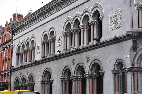
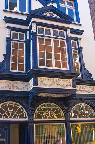
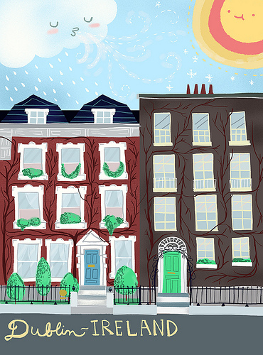
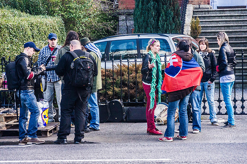
Pictures

Related Locations
Information of geographic nature is based on public data provided by geonames.org, CIA world facts book, Unesco, DBpedia and wikipedia. Weather is based on NOAA GFS.