
Delve into Mattie in Italy
Mattie in the region of Piedmont with its 702 residents is a city in Italy - some 349 mi or ( 562 km ) North-West of Rome , the country's capital .
Current time in Mattie is now 10:54 PM (Tuesday) . The local timezone is named " Europe/Rome " with a UTC offset of 1 hours. Depending on your travel modalities, these larger destinations might be interesting for you: Geneva, Gap, Dijon, Chambéry, and Besançon. While being here, make sure to check out Geneva . We encountered some video on the web . Scroll down to see the most favourite one or select the video collection in the navigation. Are you curious about the possible sightseeing spots and facts in Mattie ? We have collected some references on our attractions page.
Videos
Torino Modane trains (new clips)
New clips of trains (again including TGV and double tractions) on the international Frejus line between Torino and Modane. Video taken in Meana station and at the Dora bridge near Bussoleno, where the ..
Last part of the Colle delle Finestre on my BMW R1100 RT
Last part of the North-side of the Italian Colle delle Finestre on my BMW R1100 RT, the first pass we did that day. This day turned out to be the highlight of our 6-day trip to the West-Alpes. After t ..
Orsiera 2890
22/09/2007 ..
Monte Orsiera 2878m podejscie 12.07.2008
Podejscie na Monte Orsiera 2878mnpm, alpy wloskie ..
Videos provided by Youtube are under the copyright of their owners.
Interesting facts about this location
Cenischia
The Cenischia is a mountain torrent which straddles the south-west French department of Savoie and the north-west Italian Province of Turin. Part of the Po basin, it is a left tributary of the Dora Riparia and forms the valley called the Val Cenischia which marks the boundary between the Graian Alps to the north and the Cottian Alps to the south. The sources are in France near the Col du Mont Cenis .
Located at 45.14 7.06 (Lat./Long.); Less than 5 km away
Susa Valley
The Susa Valley (Italian: Val di Susa, French: Val de Suse) is a valley in the Piedmont region of northern Italy, located between the Graian Alps in the north and the Cottian Alps in the south. It is the longest valley in Italy. It extends over 50 km in an east-west direction from the French border to the outskirts of Turin. The valley takes its name from the city of Susa which lies in the valley. The Dora Riparia river, a tributary of the Po, flows through the valley.
Located at 45.13 7.05 (Lat./Long.); Less than 5 km away
Susa Cathedral
Susa Cathedral (Italian: Cattedrale di San Giusto, or Duomo di Susa) is a Roman Catholic cathedral in Susa, Piedmont, in northern Italy. It is the seat of the Bishop of Susa and is dedicated to Saint Justus of Novalesa. In origin it was the church of the Benedictine Abbey of St. Justus, established in 1029 by Marchese Olderico Manfredi to house the newly-discovered relics of Saint Justus. The church was built around 1100 and has since been refurbished and restored several times.
Located at 45.14 7.04 (Lat./Long.); Less than 6 km away
Lago di Malciaussia
Lago di Malciaussia is a man-made lake situated at an elevation of 1,800 metres in the upper Valle di Viù in the north-west Italian province of Turin. The reservoir was constructed in the 1920s and 1930s by damming the Stura di Viù, a tributary of the Stura di Lanzo, for the generation of hydropower. It is named after the locality Malciaussia—a frazione of the commune of Usseglio—which was submerged when it was filled.
Located at 45.20 7.13 (Lat./Long.); Less than 9 km away
Fenestrelle Fort
The Fortress of Fenestrelle overlooks the tiny city of Fenestrelle, Piedmont, northern Italy. It is by far the largest Alpine fortification in Europe, having a surface area of approximately 1,350,000 m². It guards the access to Turin via the Chisone valley, with its lowest defences at around 1,100 metres altitude while the highest part extends to the summit of Mount Pinai at nearly 1,800 metres. The overall length is some three and a half kilometres.
Located at 45.03 7.06 (Lat./Long.); Less than 11 km away
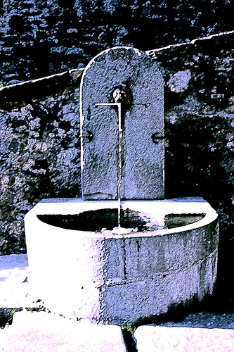
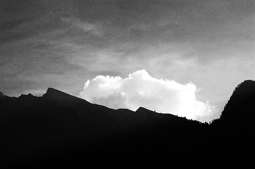
Pictures
Historical Weather
Related Locations
Information of geographic nature is based on public data provided by geonames.org, CIA world facts book, Unesco, DBpedia and wikipedia. Weather is based on NOAA GFS.