
Discover San Vito in Italy
San Vito in the region of Sardinia with its 3,895 habitants is a town located in Italy - some 229 mi or ( 369 km ) South-West of Rome , the country's capital .
Local time in San Vito is now 11:59 AM (Saturday) . The local timezone is named " Europe/Rome " with a UTC offset of 1 hours. Depending on your flexibility, these larger cities might be interesting for you: Tunis, Villasalto, San Priamo, Villacidro, and Terralba. When in this area, you might want to check out Tunis . We found some clip posted online . Scroll down to see the most favourite one or select the video collection in the navigation. Are you looking for some initial hints on what might be interesting in San Vito ? We have collected some references on our attractions page.
Videos
Cristolaxedu beach/1
Sands of Sardinia ..
Cristolaxedu beach/2
Sands of Sardinia ..
Muravera Schiuma Party
Schiuma Party a Muravera in Piazza Europa. By Renato ..
Italia - Sardegna - Colostrai
..
Videos provided by Youtube are under the copyright of their owners.
Interesting facts about this location
Flumendosa
The Flumendosa is a river of southern Sardinia, Italy. With a length of 127 km, it is the second river of the island behind the Tirso. The Flumendosa's springs are located in the Gennargentu massif, at the feet of the Monte Armidda; it flows into the Tyrrhenian Sea in the area of the towns of Muravera and Villaputzu. It drains a basin of c. 1,775 km². Before the construction of two large dams, it had a discharge of 22 m³/s.
Located at 39.43 9.62 (Lat./Long.); Less than 7 km away
Salto di Quirra
Salto di Quirra is a rocket launching site near Perdasdefogu on Sardinia . Salto di Quirra primarily launches military rockets, but civilian rockets, such as the Skylark, have occasionally been launched for the study of the upper atmosphere. The Salto di Quirra range is located close to the town of Perdasdefogu in a mountainous zone at the south-east of Sardinia. It is an inter-arm range, currently placed under the authority of the Italian Air Force.
Located at 39.53 9.63 (Lat./Long.); Less than 12 km away
Costa Rei
Costa Rei is a frazione of the comune of Muravera in southern Sardinia. It features a 12km long beach.
Located at 39.25 9.57 (Lat./Long.); Less than 22 km away
Funtana Coberta
Funtana Coberta is a holy pit (subterranean temple) in Sarrabus-Gerrei, a traditional subregion of Sardinia, Italy. Dating to c. 1200-850 BC, it is included in the territory of Ballao, in the province of Cagliari. It was excavated in 1918 by Antonio Taramelli, and again in 1994 by Maria Rosaria Manunza. It is composed of roughly parallelepiped-shaped limestone rocks, with a length of 10.60 m.
Located at 39.58 9.35 (Lat./Long.); Less than 22 km away
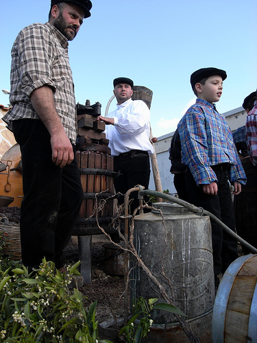
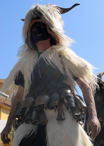
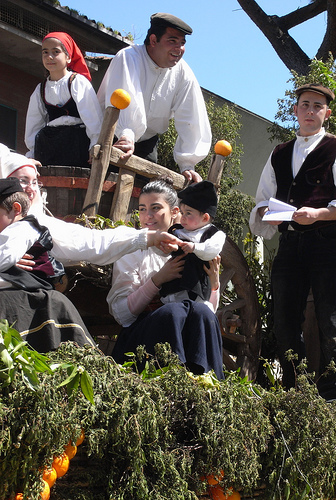
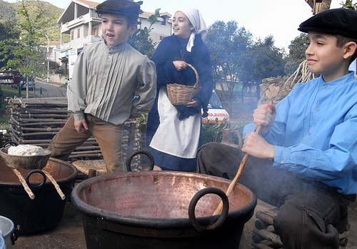
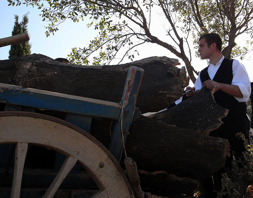
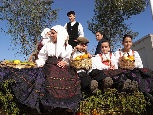
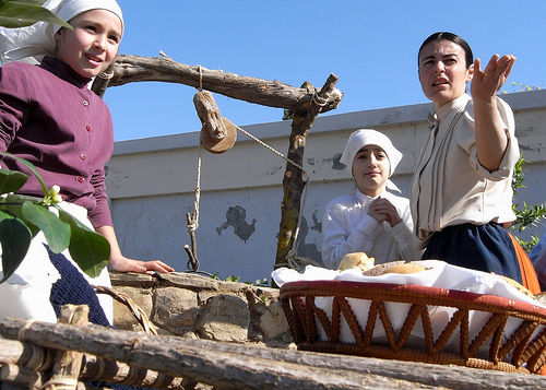
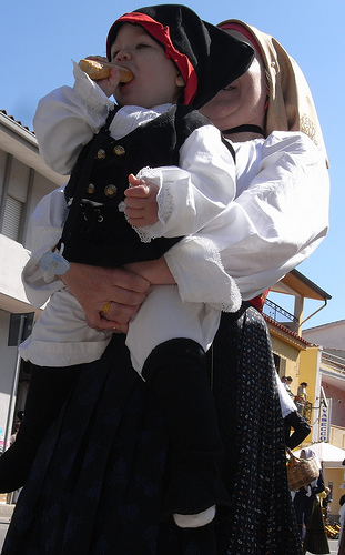
Pictures
Historical Weather
Related Locations
Information of geographic nature is based on public data provided by geonames.org, CIA world facts book, Unesco, DBpedia and wikipedia. Weather is based on NOAA GFS.