-
You are here:
- Homepage »
- Netherlands »
- Friesland » Buren

Buren Destination Guide
Explore Buren in Netherlands
Buren in the region of Friesland is a town in Netherlands - some 83 mi or ( 134 km ) North-East of Amsterdam , the country's capital city .
Current time in Buren is now 01:13 AM (Wednesday) . The local timezone is named " Europe/Amsterdam " with a UTC offset of 1 hours. Depending on the availability of means of transportation, these more prominent locations might be interesting for you: Westernijkerk, Wanswerd, The Hague, Rinsumageast, and Alde Leie. Since you are here already, make sure to check out Westernijkerk . We saw some video on the web . Scroll down to see the most favourite one or select the video collection in the navigation. Where to go and what to see in Buren ? We have collected some references on our attractions page.
Videos
Wad-crawling
The walking on the 'Wad' that had went so well, crossing over all the way from the mainland to the island, just at the end turned a bit problematic for two of the group... ('Wad'= sea-flooded mud-land ..
Treibsand am Strand von Ameland
Zwei seit dem 09.10.2010 auf Ameland vermißte Geologen beim Sedimenttesttanz auf einer Treibsandbank. ..
Ameland & Back
A weekend trip from the UK to Ameland and back. Why? Because it was there! Three BMW C1's made the trip with ease. ..
Recreatieteam Klein Vaarwater
Klein Vaarwater heeft een enthousiast rekreatieteam ..
Videos provided by Youtube are under the copyright of their owners.
Interesting facts about this location
Buren, Friesland
Buren is the eastern-most village on the island of Ameland, one of the West Frisian Islands and part of the Netherlands.
Located at 53.45 5.80 (Lat./Long.); Less than 0 km away
Ameland
Ameland is a municipality and one of the West Frisian Islands off the north coast of the Netherlands. It consists mostly of sand dunes. It is the third major island of the West Frisians. It neighbours islands Terschelling to the West and Schiermonnikoog to the East. This includes the small Engelsmanplaat and Rif islands to the East. Ameland is, counted from the west, the fourth inhabited Dutch Wadden island and belongs to the Friesland/Fryslan province.
Located at 53.45 5.79 (Lat./Long.); Less than 0 km away
Nes, Ameland
Nes is the second largest village on the island of Ameland, one of the West Frisian Islands in the northern Netherlands. It constitutes as the main village of the eastern, Roman Catholic part of Ameland. In the past, the Catholic Amelanders ran into many conflicts with the western, Protestant Amelanders living in Hollum and Ballum. Nes has since become a popular tourist destination, as the place where the ferry from the mainland arrives.
Located at 53.44 5.77 (Lat./Long.); Less than 2 km away
Ballum
Ballum is a village on the western half of the island of Ameland and the smallest of the total of four villages on the island, one of the West Frisian Islands and part of the Netherlands. It has a population of about 370; this includes about 60 inhabitants of the countryside surrounding the village. The small Ameland Airport is located northwest of Ballum. It is also the place of the municipal hall of Ameland.
Located at 53.44 5.69 (Lat./Long.); Less than 7 km away
Ameland Airport
Ameland Airport, also known as Ameland Airport Ballum, is a small general aviation airport located near the town of Ballum on the western part of the island of Ameland, one of the West Frisian Islands in the Netherlands. It is located in the province of Friesland and is the northernmost airport in the country. The airport has a single short grass runway and a helipad, the latter being mainly used for search and rescue (SAR) flights.
Located at 53.45 5.68 (Lat./Long.); Less than 8 km away
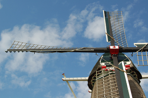
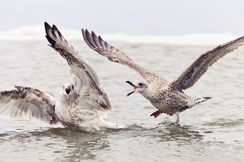
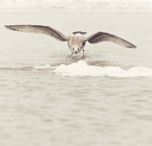
Pictures

Historical Weather
Related Locations
Information of geographic nature is based on public data provided by geonames.org, CIA world facts book, Unesco, DBpedia and wikipedia. Weather is based on NOAA GFS.