-
You are here:
- Homepage »
- Netherlands »
- North Brabant » Huijbergen

Huijbergen Destination Guide
Discover Huijbergen in Netherlands
Huijbergen in the region of North Brabant is a town located in Netherlands - some 69 mi or ( 110 km ) South of Amsterdam , the country's capital .
Local time in Huijbergen is now 10:11 AM (Tuesday) . The local timezone is named " Europe/Amsterdam " with a UTC offset of 1 hours. Depending on your flexibility, these larger cities might be interesting for you: Woensdrecht, Steenbergen, The Hague, Schoelieberg, and Roosendaal. When in this area, you might want to check out Woensdrecht . We found some clip posted online . Scroll down to see the most favourite one or select the video collection in the navigation. Are you looking for some initial hints on what might be interesting in Huijbergen ? We have collected some references on our attractions page.
Videos
Chinook Flight (Painted Black)
Inside flight in a chinook helicopter nice vieuw turning 90 degrees at 2 g eurocopter boeing heli one westland agusta funny trip ..
Slidesounds - ARC9
Part 12 of the ARC9 2010 Series - ARC9 provides musical energy based on the principles of assimilation, regression and constructivism. ARC9 is a musical journey, exploring old and mostly forgotten mus ..
Purple Maze - Purple Mees
Pietpop 08 04 2012 -- Café Hoek-City Essen België www.pietpop.be www.purplemaze.be ..
Public Enemies - Holiday(Greenday cover)
Public Enemies with holiday on 18 may 2012 in Hoogerheide ..
Videos provided by Youtube are under the copyright of their owners.
Interesting facts about this location
Huijbergen
Huijbergen is a village in the Dutch province of North Brabant. It is located in the municipality of Woensdrecht, about 9 kilometres southeast of Bergen op Zoom, close to the Belgian border.
Located at 51.43 4.37 (Lat./Long.); Less than 1 km away
486th Air Expeditionary Wing
The 486th Air Expeditionary Wing (486 AEW) is a provisional United States Air Force unit assigned to the Air Combat Command. As a provisional unit, it may be activated or inactivated at any time. The unit was last known to be active during Operation Iraqi Freedom in 2003. During World War II, its predecessor unit, the 486th Bombardment Group (Heavy) was an Eighth Air Force heavy bombardment unit in England, stationed at RAF Sudbury.
Located at 51.44 4.35 (Lat./Long.); Less than 2 km away
Hoogerheide
Hoogerheide is a village in the municipality of Woensdrecht, North Brabant, Netherlands. The name "Hoogerheide" means "High Heath" in English. The Grand Prix Adri van der Poel cyclo-cross race is held annually in Hoogerheide.
Located at 51.42 4.32 (Lat./Long.); Less than 4 km away
Ossendrecht
Ossendrecht is a village in the Dutch province of North Brabant. It is located in the municipality of Woensdrecht, about 12 km southeast of Bergen op Zoom. Ossendrecht was a separate municipality until 1997, when it became part of Woensdrecht.
Located at 51.40 4.33 (Lat./Long.); Less than 5 km away
De Zoom – Kalmthoutse Heide
De Zoom - Kalmthoutse Heide, is a cross-border park on the Belgian-Dutch border. It is a merger of two former parks, the Kalmthoutse Heide in Belgium and De Zoom in the Netherlands), together extending over 37.50 square kilometres . A very large part of the park is covered with heath. The park is managed by a special commission in which both Flemish and Dutch organisations are represented.
Located at 51.40 4.44 (Lat./Long.); Less than 6 km away
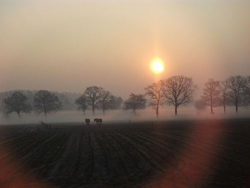
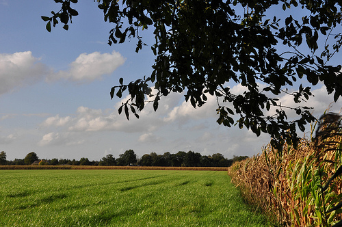
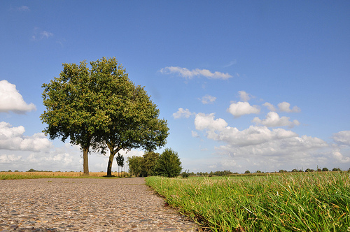
Pictures
Historical Weather
Related Locations
Information of geographic nature is based on public data provided by geonames.org, CIA world facts book, Unesco, DBpedia and wikipedia. Weather is based on NOAA GFS.