-
You are here:
- Homepage »
- Netherlands »
- South Holland » Bolnes

Bolnes Destination Guide
Explore Bolnes in Netherlands
Bolnes in the region of South Holland is a town in Netherlands - some 36 mi or ( 57 km ) South of Amsterdam , the country's capital city .
Current time in Bolnes is now 04:16 PM (Saturday) . The local timezone is named " Europe/Amsterdam " with a UTC offset of 1 hours. Depending on the availability of means of transportation, these more prominent locations might be interesting for you: Zwijndrecht, Utrecht, The Hague, Rotterdam, and Ridderkerk. Since you are here already, make sure to check out Zwijndrecht . We saw some video on the web . Scroll down to see the most favourite one or select the video collection in the navigation. Where to go and what to see in Bolnes ? We have collected some references on our attractions page.
Videos
Harry Potter theme park
These are the first out capture and ideas for the park ..
Connexxion Parkshuttle Rivium Kralingse Zoom
The initial decision to implement the ParkShuttle transportation system between subway station Kralingse Zoom and business park Rivium (city of Capelle aan den IJssel) was taken in 1995. The goal of t ..
Bavaria City Racing
Bavaria City Racing in Rotterdam, Holland. 19/08/2007 ..
Ice City Squad
We Zijn er!!! ..
Videos provided by Youtube are under the copyright of their owners.
Interesting facts about this location
Beverwaard
Beverwaard is a neighborhood of Rotterdam, Netherlands.
Located at 51.89 4.57 (Lat./Long.); Less than 1 km away
A38 motorway (Netherlands)
The A38 motorway is a motorway in the Netherlands. With a total length of just 1.5 kilometers, it is one of the shortest motorways in the Netherlands.
Located at 51.88 4.58 (Lat./Long.); Less than 1 km away
IJsselmonde (village)
IJsselmonde is a former village in the Dutch province of South Holland. It was located to the east of the city of Rotterdam. The village ("IJssel mouth") derives its name from the river Hollandsche IJssel, which flows into the Nieuwe Maas opposite from the village. The village gives its name to the large island it's on, IJsselmonde. IJsselmonde was a separate municipality until 1941, when it merged with Rotterdam.
Located at 51.90 4.55 (Lat./Long.); Less than 2 km away
Stormpolder
Stormpolder is a polder and a hamlet in the Dutch province of South Holland. It is located about 7 km east of the center of Rotterdam, in the municipality of Krimpen aan den IJssel. It lies between the Nieuwe Maas and Hollandsche IJssel rivers. Stormpolder was a separate municipality between 1817 and 1855, when it became part of Krimpen aan den IJssel.
Located at 51.92 4.58 (Lat./Long.); Less than 2 km away
IJsselmonde, Rotterdam
IJsselmonde is a township located in the southeastern corner of the city of Rotterdam, Netherlands. As of 2006 it has 58,782 inhabitants. The name IJsselmonde is also used as the name of the island in the Maasdelta bordered by the Nieuwe Maas to the north and the Oude Maas to the south. IJssel in the name IJsselmonde refers to the fact that this island at the mouth of the Hollandse IJssel.
Located at 51.88 4.55 (Lat./Long.); Less than 3 km away
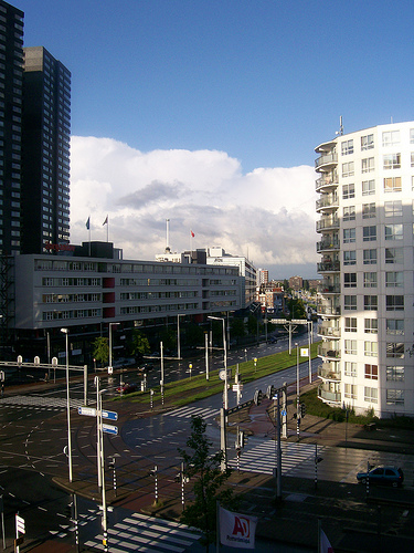
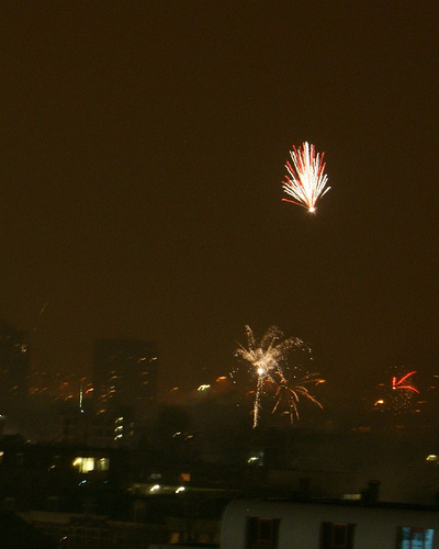
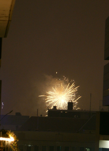
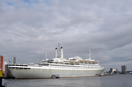
Pictures
Historical Weather
Related Locations
Information of geographic nature is based on public data provided by geonames.org, CIA world facts book, Unesco, DBpedia and wikipedia. Weather is based on NOAA GFS.