-
You are here:
- Homepage »
- Netherlands »
- South Holland » Brielle

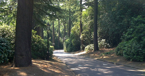
Brielle Destination Guide
Explore Brielle in Netherlands
Brielle in the region of South Holland with its 9,000 inhabitants is a town in Netherlands - some 45 mi or ( 72 km ) South-West of Amsterdam , the country's capital city .
Current time in Brielle is now 01:35 PM (Saturday) . The local timezone is named " Europe/Amsterdam " with a UTC offset of 1 hours. Depending on the availability of means of transportation, these more prominent locations might be interesting for you: Vierpolders, Tinte, The Hague, Nieuwenhoorn, and Monster. Since you are here already, make sure to check out Vierpolders . We saw some video on the web . Scroll down to see the most favourite one or select the video collection in the navigation. Where to go and what to see in Brielle ? We have collected some references on our attractions page.
Videos
The Stena Hollandica - The Worlds Largest Superferry
The largest ferry of its type in the world the Stena Hollandica launched on the 16th of May 2010 sailing on Stena Line's Harwich to Hook of Holland Route. ..
Karlijn Verhagen - Empire State Of Mind Part II
"Empire State Of Mind" by Alicia Keys is one of my dads favourite songs and is the next of the videos I am sharing over summer. I have wanted to upload it since last December when I recorded it in the ..
Stena Line guide to travelling with pets
Stena Lines definitive video guide to pet travel. For more information about dog travel or taking your pet on holiday to Holland by ferry visit the pet travel section of the Stena Line website. www.st ..
The Maersk Sealand Illinois - 2008-11-02
Container ship Maersk Illinois from broker Maersk Sealand is sailing towards Rotterdam. Filmed at the The Maeslantkering, a storm surge barrier in the Nieuwe Waterweg waterway located between the town ..
Videos provided by Youtube are under the copyright of their owners.
Interesting facts about this location
Historisch Museum Den Briel
The Historisch Museum Den Briel is a Dutch museum located in Brielle. The museum was previously known as the Trompmuseum, after Brielle-born Maarten Tromp who defeated the Spanish fleet in the Eighty Years' War.
Located at 51.90 4.16 (Lat./Long.); Less than 0 km away
Capture of Brielle
The Capture of Brielle by the Sea Beggars, or Watergeuzen, on 1 April 1572 marked a turning point in the uprising of the Low Countries against Spain in the Eighty Years' War. Militarily the success was minor, as Brielle was not being defended at the time. It did, however, provide the first foothold on land for the rebels at a time when the rebellion was all but crushed, and it offered the sign for a new revolt throughout the Netherlands.
Located at 51.90 4.17 (Lat./Long.); Less than 0 km away
Brielse meer
The Brielse Meer ("Lake Den Briel") is a long, narrow lake between the Dutch estuary islands of Voorne and Rozenburg in the province of Zuid-Holland. The lake takes its name from Den Briel, a town on its shore. It was formerly a Meuse branch known as Brielse Maas (Den Briel Meuse), which ran from the Botlek strait near Rotterdam into the North Sea.
Located at 51.91 4.19 (Lat./Long.); Less than 2 km away
Voorne-Putten
Voorne-Putten is an island between the North Sea, the Brielse meer and the rivers Oude Maas, Spui and Haringvliet in the province of South Holland in the Netherlands. Voorne-Putten consists of the two former islands Voorne (the larger, western part) and Putten (the smaller, eastern part). It used to be separated by the river Bernisse which silted up and made the two islands one. It has 160,000 inhabitants (2008). Recently the riverbed has been dredged, and the two islands have been reformed.
Located at 51.87 4.17 (Lat./Long.); Less than 4 km away
Naters, Netherlands
Naters is a former municipality in the Dutch province of South Holland. It was located about 2 km east of the town of Rockanje, on the island Voorne-Putten. Naters was a separate municipality from 1817 to 1855, when it became part of Rockanje.
Located at 51.88 4.12 (Lat./Long.); Less than 4 km away
Pictures

Historical Weather
Related Locations
Information of geographic nature is based on public data provided by geonames.org, CIA world facts book, Unesco, DBpedia and wikipedia. Weather is based on NOAA GFS.