-
You are here:
- Homepage »
- New Zealand »
- Taranaki » Okato

Okato Destination Guide
Delve into Okato in New Zealand
Okato in the region of Taranaki with its 528 residents is located in New Zealand - some 152 mi or ( 244 km ) North of Wellington , the country's capital .
Local time in Okato is now 05:26 AM (Monday) . The local timezone is named " Pacific/Auckland " with a UTC offset of 13 hours. Depending on your mobility, these larger destinations might be interesting for you: Wellington, Warea, Upper Kahui, Tumahu, and Tataraimaka. While being here, you might want to check out Wellington . We discovered some clip posted online . Scroll down to see the most favourite one or select the video collection in the navigation. Are you curious about the possible sightseeing spots and facts in Okato ? We have collected some references on our attractions page.
Videos
Maata Tours Parihaka Taranaki New Zealand
Visit Parihaka to share a story of survival against all odds. A story of heartbreak and tragedy, a story of promise and redemption. In 1865 the settlement of Parihaka was created by the Taranaki Proph ..
Videos provided by Youtube are under the copyright of their owners.
Interesting facts about this location
Okato
Okato is a small township in rural Taranaki, New Zealand. The population was 531 in the 2006 Census, an increase of 12 from 2001. It is situated about 25 minutes drive around the coast from New Plymouth on State Highway 45. Oakura is 12 km to the north-east, and Warea is 9 km to the south-west. The place offers popular rocky surfing spots around coastal beaches.
Located at -39.20 173.88 (Lat./Long.); Less than 0 km away
Coastal Taranaki School
Coastal Taranaki School is a rural area school located in Okato, Taranaki, New Zealand. Established in 2005, the school formed through the merger of a number of small primary schools and Okato College. As an area school, Coastal Taranaki School caters for the educational needs of students year 0-13.
Located at -39.19 173.88 (Lat./Long.); Less than 1 km away
Puniho
Puniho is a community in the west of Taranaki, in the North Island of New Zealand. it is located on State Highway 45, 30 kilometres southwest of New Plymouth.
Located at -39.20 173.83 (Lat./Long.); Less than 4 km away
Hangatahua River
The Hangatahua River, alternatively known as the Stony River, is a river of the Taranaki Region of New Zealand. It is one of the larger of the numerous rivers and streams which drain the slopes of Mount Taranaki, receiving water from streams covering most of the northwest sector of the mountain. In addition it drains the southern flank of the Pouakai complex and the alpine Ahukawakawa Swamp. The river's upper reaches lie within Egmont National Park.
Located at -39.17 173.82 (Lat./Long.); Less than 6 km away
Warea
Warea is a community in the west of Taranaki, in the North Island of New Zealand. It is located on State Highway 45, 26 kilometres north of Opunake.
Located at -39.23 173.82 (Lat./Long.); Less than 7 km away
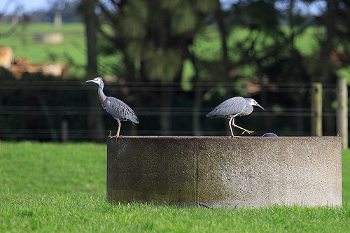
Pictures


Historical Weather
Related Locations
Information of geographic nature is based on public data provided by geonames.org, CIA world facts book, Unesco, DBpedia and wikipedia. Weather is based on NOAA GFS.