-
You are here:
- Homepage »
- Portugal »
- Portalegre » Fortios

Fortios Destination Guide
Discover Fortios in Portugal
Fortios in the region of Portalegre is a place located in Portugal - some 97 mi or ( 156 km ) North-East of Lisbon , the country's capital .
Local time in Fortios is now 08:34 AM (Sunday) . The local timezone is named " Europe/Lisbon " with a UTC offset of 0 hours. Depending on your mobility, these larger cities might be interesting for you: Urra, Reguengo, Porto Espada, Marvao, and Lisbon. When in this area, you might want to check out Urra . We discovered some clip posted online . Scroll down to see the most favourite one or select the video collection in the navigation. Are you looking for some initial hints on what might be interesting in Fortios ? We have collected some references on our attractions page.
Videos
Marvão Portugal
The town of Marvão (Portugal) has the most magnificent fortified walls, from which one has spectacular views. Marvão, the place from where you see the back of the birds Film by Júlio Gouveia-Carvalho ..
N359 Portagem to Marvao (Marvão)
N359 Portagem to Marvao 車でポルトガルをを旅行した時の、オンボード映像です。後半は、マルヴァオンの街中の様子もあります。 ..
N246-1 Castelo de Vide to Portagem
N246-1 Castelo de Vide to Portagem, Eastbound, Portugal 車でポルトガルをを旅行した時の、オンボード映像です。最後の並木がお気に入りです(^^)。 ..
Tiles and Patterns in Portugal
Houses in Portugal are often clothed with tiles, old ones and new ones. Railway stations are often great pieces of art, some from the 1800´s, and even older. And rooftops and stairs. Wear and long tim ..
Videos provided by Youtube are under the copyright of their owners.
Interesting facts about this location
Alto Alentejo Subregion
Alto Alentejo is a NUTS3 subregion of the Alentejo Region, in Portugal. It consists of 15 concelhos. It has a total area of 6,230 km² and a population of 127,025 (2001); thus 20,3 people/km². The chief city is Portalegre Alto Alentejo is composed entirely of Portalegre District, and one municipality of the Évora District, Mora.
Located at 39.29 -7.43 (Lat./Long.); Less than 7 km away
Portalegre District
Portalegre District is located in the south of Portugal. The district capital is the city of Portalegre.
Located at 39.29 -7.43 (Lat./Long.); Less than 7 km away
Portalegre Castle
The Portalegre Castle is a Portuguese castle in Portalegre. It stands out over the older part of the town because of its imposing location over a higher area and because of the contrast between its dark walls and the prevailing whitewashed houses. It served chiefly as a defence of the frontier zone in front of Castile.
Located at 39.29 -7.43 (Lat./Long.); Less than 7 km away
Carreiras (Portalegre)
Carreiras is a parish in the municipality of Portalegre, Portugal. Its 2001 population was 2,638, its area is 3.61 km² and its density is 730.7/km²
Located at 39.37 -7.43 (Lat./Long.); Less than 8 km away
Castelo de Castelo de Vide
Castelo de Castelo de Vide is a castle in Portugal. It is classified as a National Monument.
Located at 39.42 -7.46 (Lat./Long.); Less than 11 km away
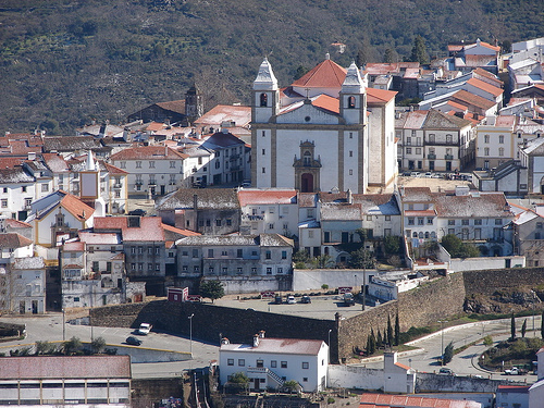
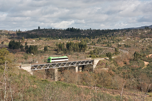
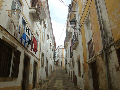
Pictures
Related Locations
Information of geographic nature is based on public data provided by geonames.org, CIA world facts book, Unesco, DBpedia and wikipedia. Weather is based on NOAA GFS.