
Discover Rafelcofer in Spain
Rafelcofer in the region of Valencia with its 1,395 habitants is a place located in Spain - some 214 mi or ( 345 km ) South-East of Madrid , the country's capital .
Local time in Rafelcofer is now 07:52 PM (Saturday) . The local timezone is named " Europe/Madrid " with a UTC offset of 1 hours. Depending on your mobility, these larger cities might be interesting for you: Algiers, Valencia, Tavernes de la Valldigna, Simat de la Valldigna, and Rotova. When in this area, you might want to check out Algiers . We discovered some clip posted online . Scroll down to see the most favourite one or select the video collection in the navigation. Are you looking for some initial hints on what might be interesting in Rafelcofer ? We have collected some references on our attractions page.
Videos
Spirit of the Dance en Gandia(I)
Escena del musical Spirit of the Dance en el teatro Serrano de Gandia con la música caracteristica de este musical. ..
moros d'oliva 2010
filaes entrada mora ..
Oliva Moros 2011
The entrance of the Moors in Oliva 2011 Entrada de los moros en Oliva 2011 ..
Info Video Oliva Nova Golf
www.exclusiv-costablanca-villas.com,CMC-Calpe, Real estate spain, properties in spain, villas for sale, Spanien Immobilien, Immobilien Costa Blanca, Hauskauf, Hausvermittlung, Alicante, Valencia, Calp ..
Videos provided by Youtube are under the copyright of their owners.
Interesting facts about this location
Rafelcofer
Rafelcofer is a village in the Valencian Community, Spain. Its mayor has been Maria del Carmen Llibrer Ballester since her election in June, 2007.
Located at 38.93 -0.17 (Lat./Long.); Less than 0 km away
Safor
Safor is a comarca within the province of Valencia, Spain. The capital is the city of Gandia, but also includes the towns of Oliva, Piles and Daimús, among others. The beach area of Gandia, La Platja, is well known for its wild nightlife during the summer. The former natural and historical comarca of Valldigna has been integrated into Safor comarca for administrative purposes. Disambiguation: See also Safor (designer).
Located at 38.98 -0.21 (Lat./Long.); Less than 6 km away
Battle of Bairén
The Battle of Bairén was fought between the forces of Rodrigo Díaz de Vivar, also known as "El Cid", in coalition with Peter I of Aragon, against the forces of the Almoravid dynasty, under the command of Muhammad ibn Tasufin. The battle was part of the long Reconquista of Spain, and resulted in a victory for the forces of the Kingdom of Aragon and the Kingdom of Valencia.
Located at 39.00 -0.25 (Lat./Long.); Less than 11 km away
Pego, Alicante
Pego is a municipality located in the province of Alicante. Lying just inland from the northern Costa Blanca resort of Dénia, the town of Pego sits in a depression, surrounded by mountains. A part of the Marina Alta comarca of Alicante, Pego has a population of 10,721 (2006) and a history going back to the Arab occupation.
Located at 38.84 -0.12 (Lat./Long.); Less than 11 km away
La Vall de Gallinera
La Vall de Gallinera is a valley and a municipality in north-east Alicante, included in the Marina Alta comarca. It is formed by the nuclei of Benirrama, Benialí, Benissivà, Benitaia, Carroja, Alpatró, Llombai and Benissili. All these towns constitute a single municipality. The total combined population at the moment is around 600.
Located at 38.82 -0.22 (Lat./Long.); Less than 13 km away
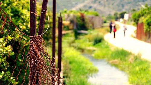
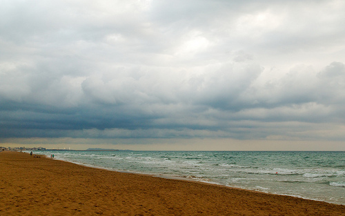
Pictures
Historical Weather
Related Locations
Information of geographic nature is based on public data provided by geonames.org, CIA world facts book, Unesco, DBpedia and wikipedia. Weather is based on NOAA GFS.