-
You are here:
- Homepage »
- Switzerland »
- Neuchatel » Saint-Aubin-Sauges

Saint-Aubin-Sauges Destination Guide
Discover Saint-Aubin-Sauges in Switzerland
Saint-Aubin-Sauges in the region of Neuchâtel with its 2,476 habitants is a town located in Switzerland - some 32 mi or ( 52 km ) West of Berne , the country's capital .
Local time in Saint-Aubin-Sauges is now 07:46 AM (Sunday) . The local timezone is named " Europe/Zurich " with a UTC offset of 1 hours. Depending on your flexibility, these larger cities might be interesting for you: Yverdon-les-Bains, Travers, Provence, Neuchatel, and Les Ponts-de-Martel. When in this area, you might want to check out Yverdon-les-Bains . We found some clip posted online . Scroll down to see the most favourite one or select the video collection in the navigation. Are you looking for some initial hints on what might be interesting in Saint-Aubin-Sauges ? We have collected some references on our attractions page.
Videos
Week end cantonal scout neuchâtelois 2007
Reportage de canal alpha sur le week end cantonal des scouts neuchâtelois à Planeyse à l'occasion des 100 ans du mouvement scout. ..
Tyrolienne au dessus de l'Areuse
Les scouts de Boudry ont organisé une tyrolienne au dessus de l'Areuse lors de l'inauguration de la maison du Pervou. ..
Tramfahrt Neuchatel-Boudry
Mit der schnellen Straßenbahn / Vorortbahn von Neuchatel / Neuenburg entlang des Sees nach Boudry. ..
C : 18 - Les Porc Laineux, Routes du vignobles, Vaumarcus, NE, Ch
une vie de cochon... ..
Videos provided by Youtube are under the copyright of their owners.
Interesting facts about this location
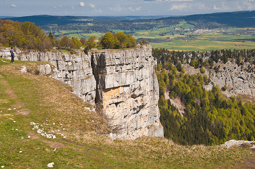
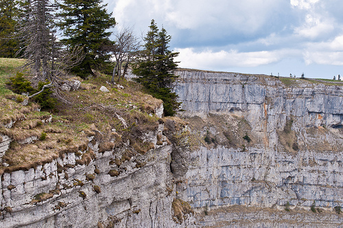
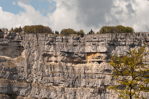
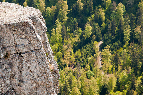
Creux du Van
The Creux du Van is a natural rocky cirque of approximately 1,400 metres of width and 150 metres of depth on the north side of Le Soliat. It is located in the Val de Travers district, in the Swiss canton of Neuchâtel. A very well known, amphitheatre-shaped natural attraction of the area, it is located at the heart of a nature reservation area of 15.5 km².
Located at 46.93 6.72 (Lat./Long.); Less than 6 km away
Lake Neuchâtel
Lake Neuchâtel is a lake primarily in Romandy, Switzerland (French-speaking Switzerland). The lake lies mainly in the canton of Neuchâtel, but is also shared by the cantons of Vaud, of Fribourg, and of Bern. With a surface of 218.3 km², it is the largest lake entirely in Switzerland and the 59th largest lake in Europe. Lake Neuchâtel lies approximately at coordinates {{#invoke:Coordinates|coord}}{{#coordinates:46|54|N|6|51|E||| | |name= }}. It is 38.3 km long and no more than 8.2 km wide.
Located at 46.90 6.85 (Lat./Long.); Less than 6 km away
Chenaux Castle
Chenaux Castle is a castle in the municipality of Estavayer-le-Lac of the Canton of Fribourg in Switzerland. It is a Swiss heritage site of national significance.
Located at 46.85 6.85 (Lat./Long.); Less than 7 km away
Boudry District
Boudry District is one of the six districts of the canton of Neuchâtel, Switzerland. It has a population of 38,845 (as of 31 December 2011). The district capital is the town of Boudry.
Located at 46.95 6.83 (Lat./Long.); Less than 8 km away
Montborget
Montborget is a village and former municipality in the district of Broye in the canton of Fribourg, Switzerland. It was first recorded in 1314 as Mauborget. The municipality had 98 inhabitants in 1811, which increased to 124 in 1850 and 137 in 1900. It then declined to 104 in 1950 and 79 in 1980. In 1981 the municipality was incorporated into the larger, neighboring municipality Murist.
Located at 46.80 6.78 (Lat./Long.); Less than 11 km away
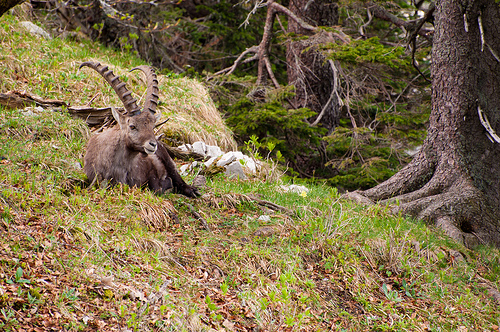
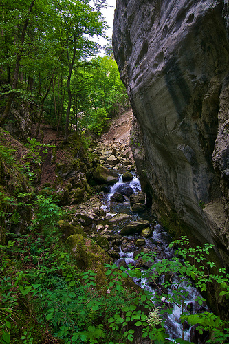
Pictures

Historical Weather
Related Locations
Information of geographic nature is based on public data provided by geonames.org, CIA world facts book, Unesco, DBpedia and wikipedia. Weather is based on NOAA GFS.