
Explore Ban Ao Nang in Thailand
Ban Ao Nang in the region of Phangnga with its 8,000 inhabitants is a place in Thailand - some 411 mi or ( 661 km ) South of Bangkok , the country's capital city .
Time in Ban Ao Nang is now 06:57 AM (Sunday) . The local timezone is named " Asia/Bangkok " with a UTC offset of 7 hours. Depending on your budget, these more prominent locations might be interesting for you: Ban Nai Sa, Ban Khlong Hin, Wiang Sa, Trang, and Surat Thani. Since you are here already, consider visiting Ban Nai Sa . We saw some hobby film on the internet . Scroll down to see the most favourite one or select the video collection in the navigation. Where to go and what to see in Ban Ao Nang ? We have collected some references on our attractions page.
Videos
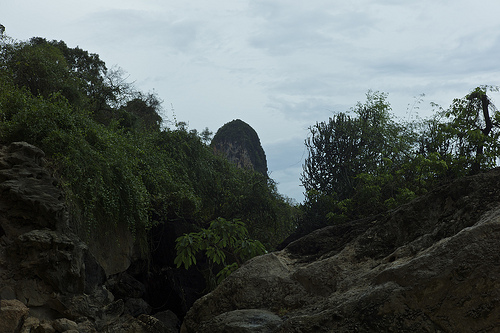
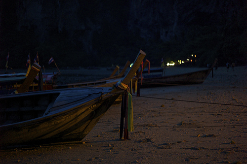
Railay Beach, Krabi, Thailand
Phra Nang Beach at Railay, near Ao Nang in Krabi, Thailand. Amazing place ... only accessible by boat (it takes about 10 minutes from Ao Nang). ..
Krabi Thailand Baan Malisa Villa Rentals
Chic and contemporary, Baan Malisa is part of Ton Company's "Luxury Collection". The two bedroom, 190sqm holiday home is a stunning example of modern Thai design and architecture, as well as being bea ..
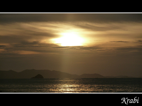
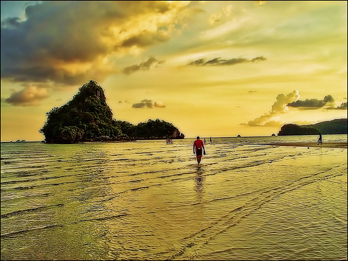
Natural Beauty of Krabi
Some of these photos and other Krabi merchandise is now available at www.AmazingThaiGifts.com ..
Krabi Thailand Villa Rentals
Krabi Holiday Pool Villa Rentals in Ao Nang, Krabi, Thailand ..
Videos provided by Youtube are under the copyright of their owners.
Interesting facts about this location
Railay Beach
Railay Beach is a small peninsula located between the city of Krabi and Ao Nang in Thailand. Accessible only by boat due to the high limestone cliffs cutting off mainland access. These cliffs attract rock climbers from all over the world, but the area is also popular due to its beautiful beaches and quiet relaxing atmosphere. Accommodation ranges from inexpensive bungalows popular with backpackers and climbers, to the renowned jet-set resort of Rayavadee.
Located at 8.01 98.84 (Lat./Long.); Less than 5 km away
Koh Poda
Koh Poda is an island off the west coast of Thailand, located in Krabi Province, about 8 kilometres from Ao Nang. It is part of the Mu Koh Poda, or Poda Group Islands, which are under the administration of Haad Noppharat Thara-Mu Koh Phi Phi National Park. The group consists of Ko Poda, Ko Kai, Ko Mo and Ko Thap.
Located at 7.97 98.81 (Lat./Long.); Less than 8 km away
HMS Strongbow (P235)
HMS Strongbow was an S class submarine of the Royal Navy, and part of the Third Group built of that class. She was built by Scotts, of Greenock and launched on August 30, 1943.
Located at 7.95 98.82 (Lat./Long.); Less than 11 km away
Krabi Province
Krabi is one of the southern provinces (changwat) of Thailand, at the shore of the Andaman Sea. Neighbouring provinces are (from north clockwise) Phang Nga, Surat Thani, Nakhon Si Thammarat and Trang. The Phuket province to the west is also neighbouring, but without any land boundary. The capital of the region is the city of Krabi.
Located at 8.06 98.92 (Lat./Long.); Less than 12 km away
Krabi River
The Krabi River is a river in Southern Thailand. The Krabi river is 5 kilometres long, as it is the main channel within a larger estuary to the Andaman Sea. The other two main channels are the Yuan River to the south and Chi Lat to the west. The 31 km upper stretch of the river are named Khlong Krabi Yai, which originates at the Phanom mountain. The estuary of the Krabi river is listed as Ramsar wetland number 1100 since July 5 2001.
Located at 8.05 98.92 (Lat./Long.); Less than 12 km away
Pictures


Historical Weather
Related Locations
Information of geographic nature is based on public data provided by geonames.org, CIA world facts book, Unesco, DBpedia and wikipedia. Weather is based on NOAA GFS.