
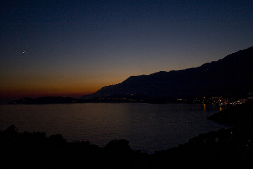
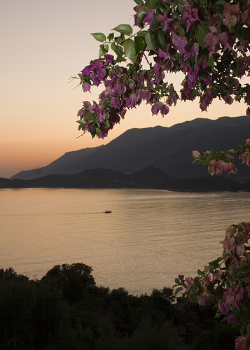
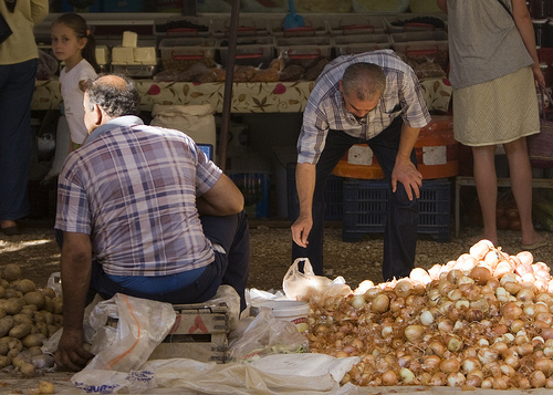
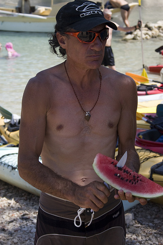
Touring Kas in Turkey
Kas in the region of Antalya with its 7,452 citizens is located in Turkey - some 311 mi or ( 500 km ) South-West of Ankara , the country's capital city .
Time in Kas is now 06:21 AM (Wednesday) . The local timezone is named " Europe/Istanbul " with a UTC offset of 2 hours. Depending on your budget, these more prominent places might be interesting for you: Nicosia, Demre, Kizilagac, Saribelen, and Mugla. Being here already, consider visiting Nicosia . We collected some hobby film on the internet . Scroll down to see the most favourite one or select the video collection in the navigation. Check out our recommendations for Kas ? We have collected some references on our attractions page.
Videos
Early Morning atmosphere in Kas, Turkey
Early morning in Kas, Turkey ..
Uluburun wreck, guided by a school of jackfish at Kas,Turkey
The Uluburun replica at the Arkeo-Park at Kas is more beautiful if you are guided by a school of jackfish. ..
Kas, Turkey
Kas marina, Turkey 2009 ..
Turkey - Kas - Travel Video
Kas Turkey is a great place to enjoy the Mediterranean coast. Take a gulet to Fethiye, Ucagiz, Kalekoy, or Megisti. There are many good restaurants and inexpensive hotels in the area. Music: By Mitten ..
Videos provided by Youtube are under the copyright of their owners.
Interesting facts about this location
Operation Abstention
Operation Abstention was the code name given to the British invasion of the Italian island of Kastelorizo, off Turkey, during the Second World War, on late February 1941. The goal was to establish a pivotal base to challenge the Italian naval and air supremacy on the Dodecanese islands.
Located at 36.15 29.59 (Lat./Long.); Less than 7 km away
Kastellorizo Airport
Kastellorizo Island Public Airport is an airport on the small island Kastellorizo, Greece, part of the Dodekanesos island group. The facility is located more or less on the middle of the Island, about 2.5 km southwest of the city Megisti. In the beginning of the twentieth century, the island of Kastellorizo was linked by seaplanes to destinations mainly in northeast Africa. The seaplanes used the natural horse-shoe sized harbour of the island.
Located at 36.14 29.58 (Lat./Long.); Less than 9 km away
Uluburun shipwreck
The Uluburun Shipwreck is a Late Bronze Age shipwreck dated to the late 14th century BC, discovered close to the east shore of Uluburun (Grand Cape), and about 6 miles southeast of Kaş, in south-western Turkey. The shipwreck was first discovered in the summer of 1982 by Mehmed Çakir, a local sponge diver from Yalikavak, a village near Bodrum.
Located at 36.13 29.69 (Lat./Long.); Less than 9 km away
Gökçeören, Antalya
Gökçeören (also Seyretköyü, Seyretköy, and Seyret) is a village in Antalya Province, Turkey.
Located at 36.24 29.54 (Lat./Long.); Less than 9 km away
Strongyli Kastellorizou
Strongyli Kastellorizou, also called Strongili or Ipsili, is a Greek islet which lies in the eastern Mediterranean Sea, about five nautical miles south-east of the island of Kastelorizo. The island is about 1.5 km long, and up to 700 m wide. It covers an area of about 0.9 km. It is rather flat and covered with macchia. The islet has no permanent residents. Strongyli is the easternmost Greek Territory. Administratively it is part of the Municipality of Megisti.
Located at 36.12 29.63 (Lat./Long.); Less than 10 km away
Pictures


Historical Weather
Related Locations
Information of geographic nature is based on public data provided by geonames.org, CIA world facts book, Unesco, DBpedia and wikipedia. Weather is based on NOAA GFS.