
Discover Icmeler in Turkey
Icmeler in the region of Muğla is a town located in Turkey - some 331 mi or ( 532 km ) South-West of Ankara , the country's capital .
Local time in Icmeler is now 10:57 AM (Wednesday) . The local timezone is named " Europe/Istanbul " with a UTC offset of 2 hours. Depending on your flexibility, these larger cities might be interesting for you: Kos, Kalymnos, Heraklion, Turgut, and Sogut. When in this area, you might want to check out Kos . We found some clip posted online . Scroll down to see the most favourite one or select the video collection in the navigation. Are you looking for some initial hints on what might be interesting in Icmeler ? We have collected some references on our attractions page.
Videos
Marmaris beach on dusk
On holiday at marmaris sea front where people like to walk. ..
A day in the life of Turunc, Turkey
Video of Arthur and Sheila's fortnight holiday in Turunc, Turkey. May 2010 ..
Overview Içmeler, A small village near Marmaris.
This is the overview of Içmeler. I shot this video from a road in the mountains. Içmeler is a small city, near Marmaris. Music: Duman - Içerim ben bu akşam ..
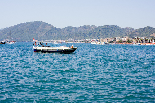
Marmaris boat trip may 2011
..
Videos provided by Youtube are under the copyright of their owners.
Interesting facts about this location
Armutalan
Armutalan is a town in Marmaris district of Muğla Province, Turkey. Although an independent municipality it is merged to Marmaris to the southeast. At {{#invoke:Coordinates|coord}}{{#coordinates:36|51|N|28|14|E||| | |name= }}, the distance to Muğla is 49 kilometres . The population is of Armutalan is 17365 as of 2011. Up to recent times Armutalan was a small settlement. Being very close to Marmaris, an important touristic center, it flourished and was made a seat of township in 1987.
Located at 36.85 28.23 (Lat./Long.); Less than 6 km away
Beldibi, Muğla
Beldibi is a town in Marmaris district of Muğla Province, Turkey. It is situated in Marmaris national park. At {{#invoke:Coordinates|coord}}{{#coordinates:36|52|N|28|16|E||| | |name= }} it is on Turkish state highway D.400 and merged to Marmaris . Its distance to Muğla is 47 kilometres . The population is of Beldibi is 8959 as of 2011. According to statistics during the last 25 years the population has increased 10 fold.
Located at 36.87 28.27 (Lat./Long.); Less than 9 km away
Aksaz Naval Base
Aksaz Naval Base (Turkish: Aksaz Deniz Üssü) is a base of the Turkish Navy on the south-east coast of the Aegean Sea in Marmaris, Muğla. In addition to the military buildings, the base houses apartment-like barracks and social facilities stretched over 8,000 acres of land. Six helicopters are also stationed at Aksaz.
Located at 36.83 28.39 (Lat./Long.); Less than 15 km away
Yılancık Ada
Yılancık Ada (literally "Small Snake Island") is a Turkish island in the Aegean Sea. Its main businesses are tourism and fishing.
Located at 36.77 28.44 (Lat./Long.); Less than 19 km away
Sedir Island
Sedir Island, also known as Cleopatra Island, is a small island in the Gulf of Gökova of southwestern Aegean Sea off the coast of Ula, part of Muğla Province of Turkey. It has one of the most special beaches in the world which is famous for its beach made from seashells. It is said that this organic sand was brought by ships from the Red Sea especially for Cleopatra.
Located at 36.99 28.21 (Lat./Long.); Less than 22 km away
Pictures
Historical Weather
Related Locations
Information of geographic nature is based on public data provided by geonames.org, CIA world facts book, Unesco, DBpedia and wikipedia. Weather is based on NOAA GFS.