-
You are here:
- Homepage »
- United Kingdom »
- England » Camelford

Camelford Destination Guide
Explore Camelford in United Kingdom
Camelford in the region of England with its 1,649 inhabitants is a place in United Kingdom - some 207 mi or ( 333 km ) West of London , the country's capital city .
Time in Camelford is now 08:52 PM (Tuesday) . The local timezone is named " Europe/London " with a UTC offset of 0 hours. Depending on your budget, these more prominent locations might be interesting for you: Warleggan, Wadebridge, Truro, Torquay, and Temple. Since you are here already, consider visiting Warleggan . We saw some hobby film on the internet . Scroll down to see the most favourite one or select the video collection in the navigation. Where to go and what to see in Camelford ? We have collected some references on our attractions page.
Videos
Cornish coastal walk - Boscastle to Tintagel
A walk along the coastline from Boscastle to Tintagel, in which we peer over cliff, walk through windows, find flowers and pick up two bags of litter - all on the Barn international holiday in Cornwal ..
Waterfall
St Nectans Glen Cornwall ..
Jenga game
The game of Jenga reaches new heights - level 32! Played by a group of international students and English friends from the Barn on holiday in Cornwall. ..
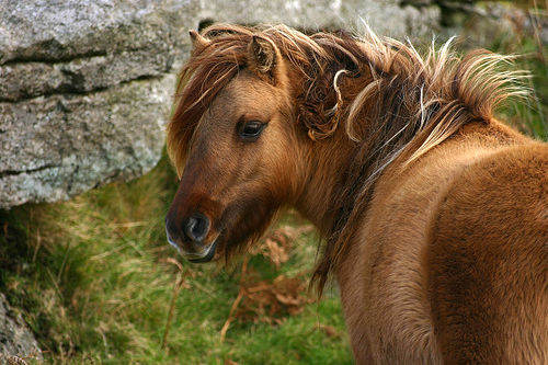
Tintagel, kissing gates and cute ponies
We discover kissing gates and tiny, cute ponies on a walk from Tintagel to Barras Nose, on the Barn International holiday in Cornwall ..
Videos provided by Youtube are under the copyright of their owners.
Interesting facts about this location
RAF Davidstow Moor
RAF Davidstow Moor was an airbase at Davidstow near Camelford in Cornwall, United Kingdom from late 1942 until 1945. Despite a few periods of intense activity it was one of Coastal Command's less-used airfields.
Located at 50.64 -4.62 (Lat./Long.); Less than 5 km away
Davidstow Circuit
Davidstow Circuit is a disused motor racing circuit and airfield built in Cornwall, in the United Kingdom. The circuit was built on the site of a World War II RAF Coastal Command base, RAF Davidstow Moor, opened in 1942. Davidstow circuit opened in 1952, and held three Formula 1 races between 1954 and 1955. The circuit hosted its last race in 1955, and was one of many of Britain's airfields to be transformed into motor racing venues.
Located at 50.64 -4.62 (Lat./Long.); Less than 5 km away
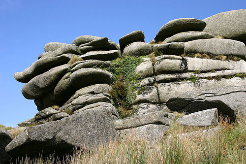
Rough Tor
Rough Tor, or Roughtor, is a tor on Bodmin Moor, Cornwall. The site is composed of the tor summit and logan stone, a neolithic tor enclosure, a large number of Bronze Age hut circles, and some contemporary monuments.
Located at 50.60 -4.62 (Lat./Long.); Less than 5 km away
St Teath
St Teath is civil parish and village in north Cornwall, England, United Kingdom. The village is situated approximately three miles (5 km) southwest of Camelford and seven miles (11 km) northeast of Wadebridge. The hamlet of Whitewell lies to the west. The church is dedicated to Saint Tethe who was one of the twenty-four children of St Brychan, a 4th century Welsh saint and king. The church was a Norman foundation but was rebuilt in the 15th century. It is large, with a nave and two aisles.
Located at 50.59 -4.74 (Lat./Long.); Less than 5 km away
St Nectan's Kieve
Saint Nectan's Kieve (Cornish: Cuva Nathan, meaning Nathan's tub) in Saint Nectan's Glen, near Tintagel in Cornwall, Great Britain, is a plunge pool or basin fed by a 60-foot-high waterfall on the Trevillet River.
Located at 50.66 -4.71 (Lat./Long.); Less than 5 km away
Pictures
Related Locations
Information of geographic nature is based on public data provided by geonames.org, CIA world facts book, Unesco, DBpedia and wikipedia. Weather is based on NOAA GFS.