-
You are here:
- Homepage »
- United Kingdom »
- England » Clyst Saint Mary

Clyst Saint Mary Destination Guide
Explore Clyst Saint Mary in United Kingdom
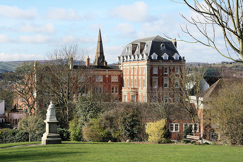
Clyst Saint Mary in the region of England is a place in United Kingdom - some 154 mi or ( 248 km ) West of London , the country's capital city .
Time in Clyst Saint Mary is now 03:32 PM (Tuesday) . The local timezone is named " Europe/London " with a UTC offset of 0 hours. Depending on your budget, these more prominent locations might be interesting for you: Topsham, Swansea, Plymouth, Pinhoe, and Newport. Since you are here already, consider visiting Topsham . We saw some hobby film on the internet . Scroll down to see the most favourite one or select the video collection in the navigation. Where to go and what to see in Clyst Saint Mary ? We have collected some references on our attractions page.
Videos
Marriott save in training
Exeter City number 1 makes a great save in pre-match training. ..
Gang Culture - Summerway Tennis Councilled
Appeal to Exeter City Council, which is depleting a deprived area of children's supervised facilities run by volunteers. ECC withdrawal of support is damaging community, throwing children on to the st ..
60009 on the move
A4 Union of South Africa runs alongside the M5 in Devon, faster than any steam train since 1965 not much short of the magic figure.This was a return journey of a steam railtour in Jan./Feb 1995 what a ..
Flood Channel at the River Exe in Exeter November 21st 2012
The flood prevention channel at the River Exe, in Exeter, doing it's job after a night of heavy rain. Starting near the Quay and rejoining the River Exe further down. www.facebook.com ..
Videos provided by Youtube are under the copyright of their owners.
Interesting facts about this location
Westpoint Arena
Westpoint is a multi-purpose arena, at Clyst St Mary, near Exeter, England. The capacity of the venue is 7,500 people. It hosts local concerts, fairs and exhibitions. It is the venue for the Devon County Show.
Located at 50.71 -3.44 (Lat./Long.); Less than 1 km away
Sowton
Sowton is a village and civil parish east of Exeter in East Devon, England. It has a population of 639. Its parish council merged with that of nearby Clyst St Mary in 1976 to form Bishop's Clyst. St Michael's church was rebuilt in 1844–45, by John Hayward and paid for by John Garratt. He retained the original perpendicular north arcade. It is a rare example of an early Victorian Tractarian village church. It is a grade I listed building.
Located at 50.72 -3.45 (Lat./Long.); Less than 1 km away
A379 road
The A379 is a road in the English county of Devon. It links points on the edges of that county's two principal cities, Exeter and Plymouth, by an indirect and largely coastal route. The A38 provides a faster and more direct inland route between Exeter and Plymouth, whilst the A380 provides a similarly faster route between Exeter and the Torbay area. However the A379 serves a large number of smaller coastal communities and ports along the coast.
Located at 50.71 -3.47 (Lat./Long.); Less than 1 km away
Fosse Way
The Fosse Way was a Roman road in England that linked Exeter in South West England to Lincoln in Lincolnshire, via Ilchester, Bath, Cirencester and Leicester. It joined Akeman Street and Ermin Way at Cirencester, crossed Watling Street at Venonis south of Leicester, and joined Ermine Street at Lincoln. The word Fosse is derived from the Latin fossa, meaning ditch.
Located at 50.73 -3.48 (Lat./Long.); Less than 3 km away
Wonford
Wonford is an undefined area in the centre of Exeter covering parts of St Loyes and Heavitree. Originally, Wonford was a royal estate named after a stream (now called Mincinglake) that rose on the southern slopes of Stoke Hill and flowed through Northbrook Park. In 937, the name was wynford meaning fair stream.
Located at 50.72 -3.50 (Lat./Long.); Less than 4 km away
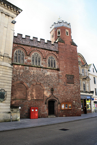
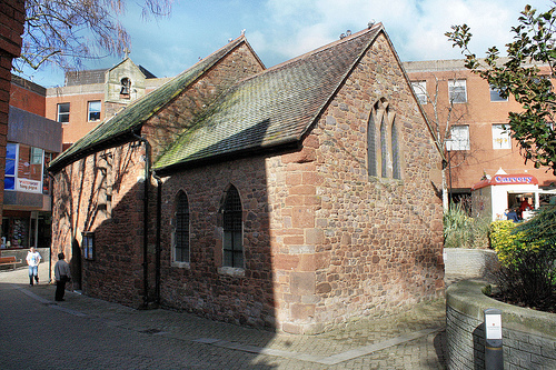
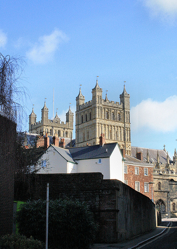
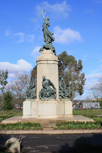
Pictures


Related Locations
Information of geographic nature is based on public data provided by geonames.org, CIA world facts book, Unesco, DBpedia and wikipedia. Weather is based on NOAA GFS.