-
You are here:
- Homepage »
- United Kingdom »
- England » Hathersage

Hathersage Destination Guide
Touring Hathersage in United Kingdom
Hathersage in the region of England with its 1,617 citizens is located in United Kingdom - some 141 mi or ( 228 km ) North-West of London , the country's capital city .
Time in Hathersage is now 06:04 AM (Wednesday) . The local timezone is named " Europe/London " with a UTC offset of 0 hours. Depending on your budget, these more prominent places might be interesting for you: York, Wortley, Wharncliffe Side, Stanton in Peak, and Sheffield. Being here already, consider visiting York . We collected some hobby film on the internet . Scroll down to see the most favourite one or select the video collection in the navigation. Check out our recommendations for Hathersage ? We have collected some references on our attractions page.
Videos
Yorkshire Bridge Inn - superb Peak District hotel
Visit website: www.yorkshire-bridge.co.uk - 4 star Gold award Peak District inn and hotel situated by Ladybower in the very scenic Upper Derwent Valley area. 14 ensuite bedrooms. Great pub food and re ..
From Win Hill to Kinder Scout
A recent walk I took up Win Hill towards Kinder Scout on 14th August 2011. As you can see, the Heather was in full bloom and the weather was perfect for walking, despite having to carry all the equipm ..
City of Lincoln over Ladybower Res
The 65th anniversary of 617's raid on the German Dams. Filmed on Friday 16th May 2008. Cannon ixus ..
haj.me.uk
Ashton Travel ..
Videos provided by Youtube are under the copyright of their owners.
Interesting facts about this location
Hathersage railway station
Hathersage railway station serves the village of Hathersage in the Derbyshire Peak District, in England. It was opened in 1894 on the Midland Railway's Dore and Chinley line. The original buildings were of timber and have disappeared with the platforms being rebuilt in masonry. The villagers' initial reaction to proposals to build the railway may have been unenthusiastic.
Located at 53.33 -1.65 (Lat./Long.); Less than 1 km away
Stanage Edge
Stanage Edge, or simply Stanage (from "stone edge") is a gritstone escarpment in the English Peak District, famous as a location for climbing. The northern part of the edge forms the border between the High Peak of Derbyshire and Sheffield in South Yorkshire. Its highest point is High Neb at 458 metres above sea level. Areas of Stanage were quarried in the past to produce grindstones, and some can still be seen on the hillside—carved, but never removed.
Located at 53.35 -1.63 (Lat./Long.); Less than 2 km away
Higger Tor
Higger Tor is a dominant landmark of the Dark Peak, in the north of the Peak District National Park. It is a gritstone tor overlooking the Burbage Valley and the iron age hill fort of Carl Wark to the southeast. The tor stands to the south west of Sheffield, just within the city boundary, about 200 metres east of the border with Derbyshire, which runs along the nearby road to Ringinglow. The village of Hathersage is approximately 2 kilometres to the west.
Located at 53.33 -1.62 (Lat./Long.); Less than 2 km away
Carl Wark
Carl Wark (sometimes Carl's Wark) is a rocky promontory on Hathersage Moor in the Peak District National Park, just inside the boundary of Sheffield, England. The promontory is faced by vertical cliffs on all but one side, which is protected by a prehistoric embankment. The cliffs and embankment form an enclosure that has been interpreted as an iron age hill fort, though the date of construction and purpose of the fortifications remains unknown. The site is a scheduled monument.
Located at 53.33 -1.61 (Lat./Long.); Less than 3 km away
Grindleford railway station
Grindleford railway station serves the village of Grindleford in the Derbyshire Peak District, in England, although the station is about a mile way, the nearest village being Nether Padley. It was opened in 1894 on the Midland Railway's Dore and Chinley line, at the western entrance to the Totley Tunnel. The line opened up the previously isolated valley to day-trippers to Padley Gorge and commuters from Sheffield, and the transport of stone from the local quarries.
Located at 53.31 -1.63 (Lat./Long.); Less than 3 km away
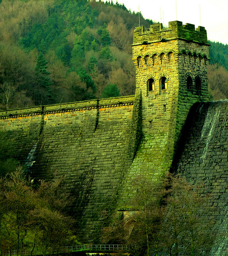
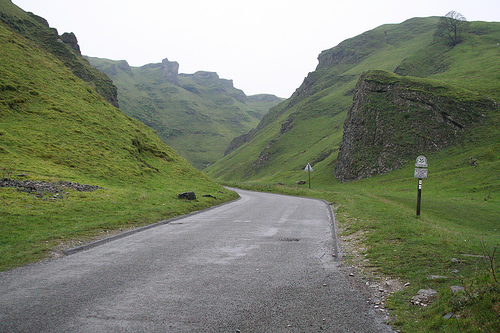
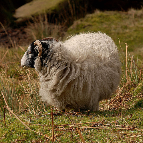
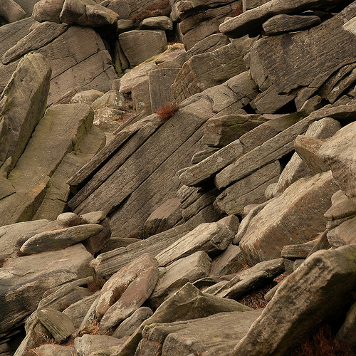
Pictures
Related Locations
Information of geographic nature is based on public data provided by geonames.org, CIA world facts book, Unesco, DBpedia and wikipedia. Weather is based on NOAA GFS.